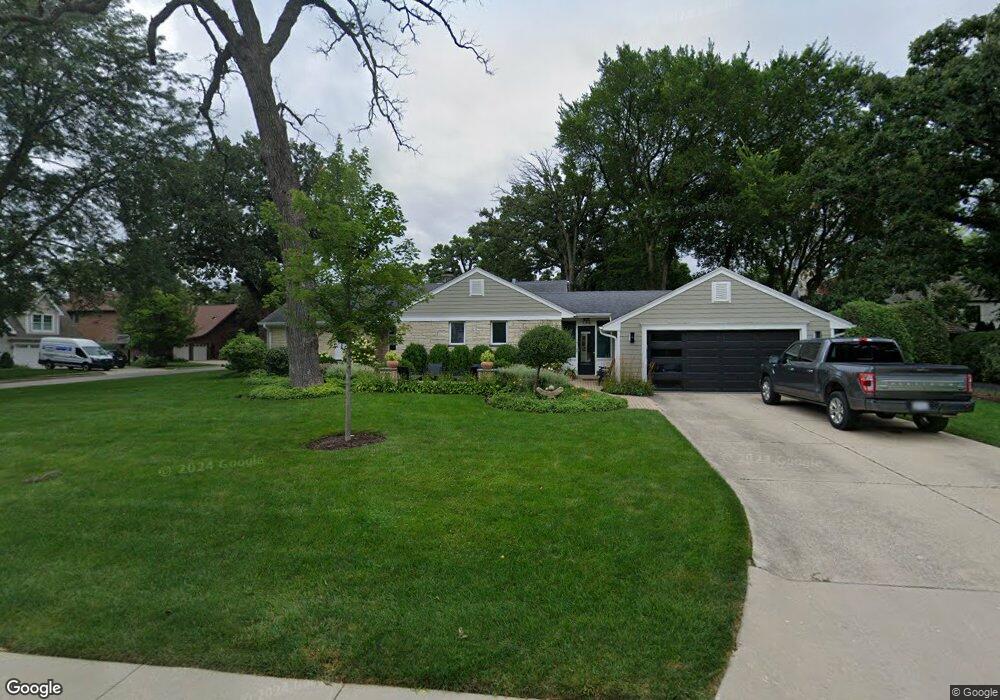
350 Homewood Ave Libertyville, IL 60048
Estimated Value: $663,000 - $800,000
--
Bed
2
Baths
1,762
Sq Ft
$421/Sq Ft
Est. Value
About This Home
This home is located at 350 Homewood Ave, Libertyville, IL 60048 and is currently estimated at $741,019, approximately $420 per square foot. 350 Homewood Ave is a home located in Lake County with nearby schools including Butterfield School, Highland Middle School, and Libertyville High School.
Ownership History
Date
Name
Owned For
Owner Type
Purchase Details
Closed on
Aug 26, 2020
Sold by
Lazar James J and Lazar Edith W
Bought by
Knot David Louis and Nesbit Elizabeth Webb
Current Estimated Value
Purchase Details
Closed on
Jun 6, 2016
Sold by
Lazar James J and Lazar Edith W
Bought by
Lazar James J and Lazar Edith W
Create a Home Valuation Report for This Property
The Home Valuation Report is an in-depth analysis detailing your home's value as well as a comparison with similar homes in the area
Home Values in the Area
Average Home Value in this Area
Purchase History
| Date | Buyer | Sale Price | Title Company |
|---|---|---|---|
| Knot David Louis | $530,000 | Multiple | |
| Lazar James J | -- | Attorney |
Source: Public Records
Tax History Compared to Growth
Tax History
| Year | Tax Paid | Tax Assessment Tax Assessment Total Assessment is a certain percentage of the fair market value that is determined by local assessors to be the total taxable value of land and additions on the property. | Land | Improvement |
|---|---|---|---|---|
| 2024 | $14,494 | $219,063 | $145,821 | $73,242 |
| 2023 | $13,789 | $202,050 | $134,496 | $67,554 |
| 2022 | $13,789 | $178,408 | $129,274 | $49,134 |
| 2021 | $13,276 | $174,567 | $126,491 | $48,076 |
| 2020 | $12,777 | $171,632 | $124,364 | $47,268 |
| 2019 | $12,459 | $170,000 | $123,181 | $46,819 |
| 2018 | $12,706 | $178,966 | $128,256 | $50,710 |
| 2017 | $12,624 | $173,316 | $124,207 | $49,109 |
| 2016 | $13,748 | $185,639 | $117,765 | $67,874 |
| 2015 | $13,631 | $173,511 | $110,071 | $63,440 |
| 2014 | $12,524 | $163,031 | $103,423 | $59,608 |
| 2012 | $11,690 | $158,121 | $100,308 | $57,813 |
Source: Public Records
Map
Nearby Homes
- 420 W Cook Ave
- 505 Lange Ct
- 212 Elm Ct
- 551 W Park Ave Unit E
- 308 Mckinley Ave
- 619 Parkside Ct
- 217 E Church St
- 212 W Ellis Ave
- 208 W Ellis Ave
- 616 Parkside Ct
- 204 W Ellis Ave
- 922 N Milwaukee Ave Unit A
- 662 Parkside Ct
- 694 Parkside Ct
- 1754 Glenmore Rd
- 224 Newberry Ave
- 423 Ames St
- 0 Ames St
- 1211 Parliament Ct
- 426 S Milwaukee Ave