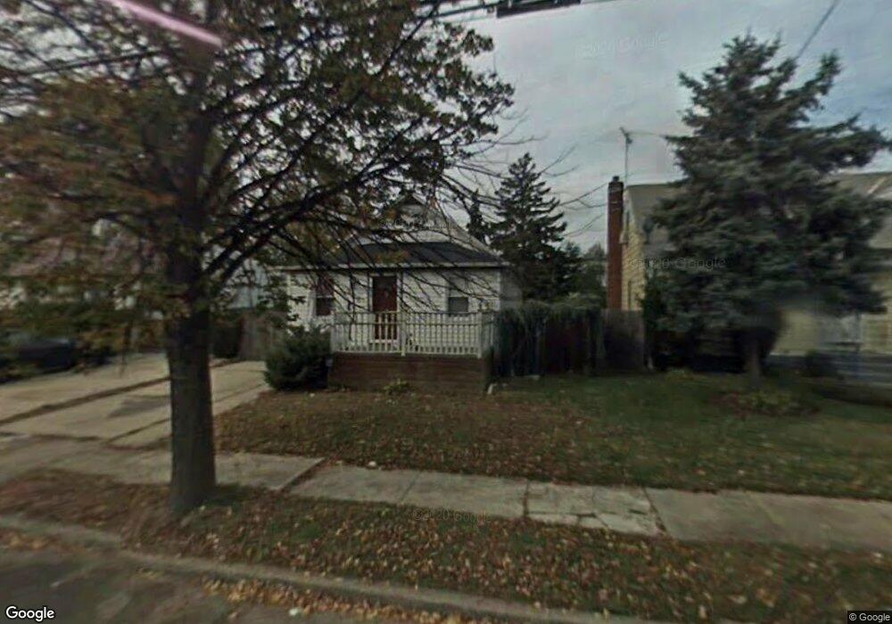
350 Newport Rd Uniondale, NY 11553
Estimated Value: $541,893 - $623,000
--
Bed
1
Bath
900
Sq Ft
$647/Sq Ft
Est. Value
About This Home
This home is located at 350 Newport Rd, Uniondale, NY 11553 and is currently estimated at $582,447, approximately $647 per square foot. 350 Newport Rd is a home located in Nassau County with nearby schools including California Avenue Elementary School, Lawrence Road Middle School, and Uniondale High School.
Ownership History
Date
Name
Owned For
Owner Type
Purchase Details
Closed on
Mar 14, 2003
Sold by
Infranco Jakesha
Bought by
Sabbat Marie
Current Estimated Value
Purchase Details
Closed on
Feb 10, 2000
Sold by
Johnson Jakesha and Infranco Andrew
Bought by
Infranco Jakesha and Infranco Andrew
Purchase Details
Closed on
May 30, 1996
Sold by
Guarino Diane
Bought by
Johnson Jakesha and Infranco Andrew
Home Financials for this Owner
Home Financials are based on the most recent Mortgage that was taken out on this home.
Original Mortgage
$70,000
Interest Rate
7.97%
Create a Home Valuation Report for This Property
The Home Valuation Report is an in-depth analysis detailing your home's value as well as a comparison with similar homes in the area
Home Values in the Area
Average Home Value in this Area
Purchase History
| Date | Buyer | Sale Price | Title Company |
|---|---|---|---|
| Sabbat Marie | $205,000 | -- | |
| Infranco Jakesha | -- | United General Title Ins Co | |
| Johnson Jakesha | $93,000 | -- |
Source: Public Records
Mortgage History
| Date | Status | Borrower | Loan Amount |
|---|---|---|---|
| Previous Owner | Johnson Jakesha | $70,000 |
Source: Public Records
Tax History Compared to Growth
Tax History
| Year | Tax Paid | Tax Assessment Tax Assessment Total Assessment is a certain percentage of the fair market value that is determined by local assessors to be the total taxable value of land and additions on the property. | Land | Improvement |
|---|---|---|---|---|
| 2025 | $7,761 | $343 | $119 | $224 |
| 2024 | $2,637 | $343 | $119 | $224 |
| 2023 | $7,031 | $343 | $119 | $224 |
| 2022 | $7,031 | $343 | $119 | $224 |
| 2021 | $9,427 | $326 | $113 | $213 |
| 2020 | $7,173 | $503 | $448 | $55 |
| 2019 | $7,178 | $503 | $448 | $55 |
| 2018 | $6,729 | $503 | $0 | $0 |
| 2017 | $3,997 | $503 | $448 | $55 |
| 2016 | $6,950 | $503 | $448 | $55 |
| 2015 | $3,459 | $503 | $448 | $55 |
| 2014 | $3,459 | $503 | $448 | $55 |
| 2013 | $3,629 | $503 | $448 | $55 |
Source: Public Records
Map
Nearby Homes
- 666 Lowell Rd
- 641 Lowell Rd
- 737 Lowell Rd
- 399 Hawthorne Ave
- 240 Bedford Ave
- 730 Goodrich St
- 363 Clarendon Rd
- 305 Crowell St
- 1033 Tulsa St
- 165 Lenox Ave
- 537 Duryea Ave
- 168 Lenox Ave
- 335 Locust Ave
- 112 Rutland Rd
- 727 Beck St
- 692 Beck St
- 546 Clark Place
- 541 Bedford Ave
- 178 Rutland Rd
- 388 Maplegrove Ave