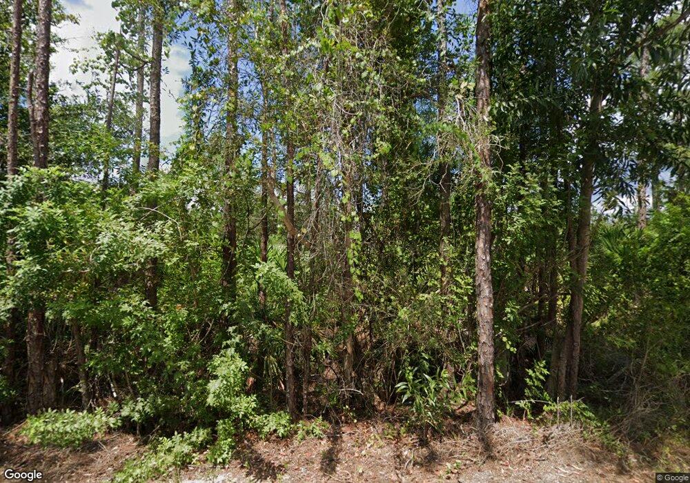
3501 Janis Rd Cape Coral, FL 33993
Burnt Store NeighborhoodEstimated Value: $667,000 - $1,066,000
3
Beds
3
Baths
2,598
Sq Ft
$318/Sq Ft
Est. Value
About This Home
This home is located at 3501 Janis Rd, Cape Coral, FL 33993 and is currently estimated at $825,856, approximately $317 per square foot. 3501 Janis Rd is a home located in Lee County with nearby schools including Caloosa Elementary School, Dr. Carrie D. Robinson Littleton Elementary School, and Tropic Isles Elementary School.
Ownership History
Date
Name
Owned For
Owner Type
Purchase Details
Closed on
Sep 16, 2011
Sold by
Pliner Fl Llc
Bought by
Fuller Morris W and Fuller Deborah L
Current Estimated Value
Home Financials for this Owner
Home Financials are based on the most recent Mortgage that was taken out on this home.
Original Mortgage
$175,000
Interest Rate
4.38%
Mortgage Type
Seller Take Back
Purchase Details
Closed on
Apr 22, 2010
Sold by
Wachovia Mortgage Corporation
Bought by
Pliner Fl Llc
Purchase Details
Closed on
Nov 3, 2009
Sold by
Donaldson Sandra
Bought by
Wachovia Mortgage Corporation
Purchase Details
Closed on
Sep 15, 2003
Sold by
Doerr David A
Bought by
Donaldson Alfred and Donaldson Sandra L
Home Financials for this Owner
Home Financials are based on the most recent Mortgage that was taken out on this home.
Original Mortgage
$210,000
Interest Rate
6.33%
Create a Home Valuation Report for This Property
The Home Valuation Report is an in-depth analysis detailing your home's value as well as a comparison with similar homes in the area
Home Values in the Area
Average Home Value in this Area
Purchase History
| Date | Buyer | Sale Price | Title Company |
|---|---|---|---|
| Fuller Morris W | $220,000 | Rels Title | |
| Pliner Fl Llc | $145,000 | Rels Title | |
| Wachovia Mortgage Corporation | -- | Attorney | |
| Donaldson Alfred | $295,000 | -- |
Source: Public Records
Mortgage History
| Date | Status | Borrower | Loan Amount |
|---|---|---|---|
| Closed | Fuller Morris W | $175,000 | |
| Previous Owner | Donaldson Alfred | $210,000 |
Source: Public Records
Tax History Compared to Growth
Tax History
| Year | Tax Paid | Tax Assessment Tax Assessment Total Assessment is a certain percentage of the fair market value that is determined by local assessors to be the total taxable value of land and additions on the property. | Land | Improvement |
|---|---|---|---|---|
| 2025 | $3,874 | $240,206 | -- | -- |
| 2024 | $3,711 | $233,436 | -- | -- |
| 2023 | $3,711 | $226,637 | $0 | $0 |
| 2022 | $3,450 | $220,036 | $0 | $0 |
| 2021 | $3,530 | $401,908 | $125,000 | $276,908 |
| 2020 | $3,576 | $210,678 | $0 | $0 |
| 2019 | $3,431 | $205,941 | $0 | $0 |
| 2018 | $2,177 | $134,743 | $0 | $0 |
| 2017 | $2,026 | $127,182 | $0 | $0 |
| 2016 | $2,011 | $250,515 | $75,000 | $175,515 |
| 2015 | $2,015 | $219,097 | $75,000 | $144,097 |
| 2014 | $1,976 | $156,097 | $37,600 | $118,497 |
| 2013 | -- | $120,904 | $41,200 | $79,704 |
Source: Public Records
Map
Nearby Homes
- 3522 Sand Rd
- 3401 Sand Rd
- 3275 Sand Rd
- 3256 Old Burnt Store Rd N
- 3224 Old Burnt Store Rd N
- 3252 Old Burnt Store Rd N
- 3260 Old Burnt Store Rd N
- 4009 Jacaranda Pkwy W
- 3225 NW 41st Ave
- 3233 NW 41st Ave
- 3217 NW 41st Ave
- 2801 SW 39th Terrace
- 3238 NW 41st Ave
- 4105 NW 33rd St
- 3023 NW 41st Ave
- 3229 NW 41st Place
- 3217 NW 41st Place
- 3213 NW 41st Place
- 3015 NW 41st Ave
- 2751 NW 41st Place
