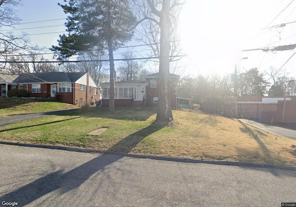
3512 Gordon Ave Saint Louis, MO 63114
Estimated Value: $137,000 - $189,000
2
Beds
2
Baths
1,298
Sq Ft
$126/Sq Ft
Est. Value
About This Home
This home is located at 3512 Gordon Ave, Saint Louis, MO 63114 and is currently estimated at $163,810, approximately $126 per square foot. 3512 Gordon Ave is a home located in St. Louis County with nearby schools including Marvin Elementary School, Ritenour Middle School, and Ritenour Senior High School.
Ownership History
Date
Name
Owned For
Owner Type
Purchase Details
Closed on
Jan 9, 2007
Sold by
Shore Russell Dale and Shore Patricia S
Bought by
Marsala Rick T and Marsala Ellen K
Current Estimated Value
Purchase Details
Closed on
Dec 19, 2006
Sold by
Hagerty Mary Christine and Shore Mary Christine
Bought by
Shore Russell Dale
Purchase Details
Closed on
Mar 1, 1985
Sold by
Shore Mary Christine
Bought by
Shore Drilling Inc
Create a Home Valuation Report for This Property
The Home Valuation Report is an in-depth analysis detailing your home's value as well as a comparison with similar homes in the area
Home Values in the Area
Average Home Value in this Area
Purchase History
| Date | Buyer | Sale Price | Title Company |
|---|---|---|---|
| Marsala Rick T | $30,000 | Clt | |
| Shore Russell Dale | -- | None Available | |
| Shore Drilling Inc | -- | None Available |
Source: Public Records
Tax History Compared to Growth
Tax History
| Year | Tax Paid | Tax Assessment Tax Assessment Total Assessment is a certain percentage of the fair market value that is determined by local assessors to be the total taxable value of land and additions on the property. | Land | Improvement |
|---|---|---|---|---|
| 2025 | $2,296 | $34,020 | $5,230 | $28,790 |
| 2024 | $2,296 | $26,580 | $2,790 | $23,790 |
| 2023 | $2,250 | $26,580 | $2,790 | $23,790 |
| 2022 | $2,143 | $22,170 | $2,450 | $19,720 |
| 2021 | $2,142 | $22,170 | $2,450 | $19,720 |
| 2020 | $1,939 | $18,430 | $3,990 | $14,440 |
| 2019 | $1,918 | $18,430 | $3,990 | $14,440 |
| 2018 | $2,212 | $19,190 | $1,770 | $17,420 |
| 2017 | $2,111 | $19,190 | $1,770 | $17,420 |
| 2016 | $2,065 | $18,870 | $2,450 | $16,420 |
| 2015 | $2,112 | $18,870 | $2,450 | $16,420 |
| 2014 | $1,845 | $16,720 | $1,900 | $14,820 |
Source: Public Records
Map
Nearby Homes
- 3563 Boswell Ave
- 13 Jonell Ct
- 3562 Boswell Ave
- 3220 Marvin Ave
- 3534 Calvert Ave
- 3329 Dix Ave
- 3316 Edmundson Rd
- 3355 Edmundson Rd
- 9432 Tudor Ave
- 9060 Patrick Dr
- 9436 North Ave
- 2812 Woodson Rd
- 9429 Burdella Ave
- 9015 Mcnulty Dr
- 3219 Coles Ave
- 8728 Susan Ave
- 8718 Mavis Place
- 9422 Chester Ave
- 9047 Kathlyn Dr
- 3213 Airway Ave
- 3514 Gordon Ave Unit A
- 3514 Gordon Ave
- 3525 Boswell Ave
- 3522 Gordon Ave
- 3521 Boswell Ave
- 3527 Boswell Ave
- 3535 Boswell Ave
- 9101 Saint Charles Rock Rd
- 3537 Boswell Ave
- 9197 Saint Charles Rock Rd
- 3530 Gordon Ave
- 3539 Boswell Ave
- 9124 Saint Charles Rock Rd
- 3527 Gordon Ave
- 3526 Boswell Ave
- 3528 Boswell Ave
- 3529 Gordon Ave
- 3530 Boswell Ave
- 3536 Gordon Ave
- 3532 Boswell Ave