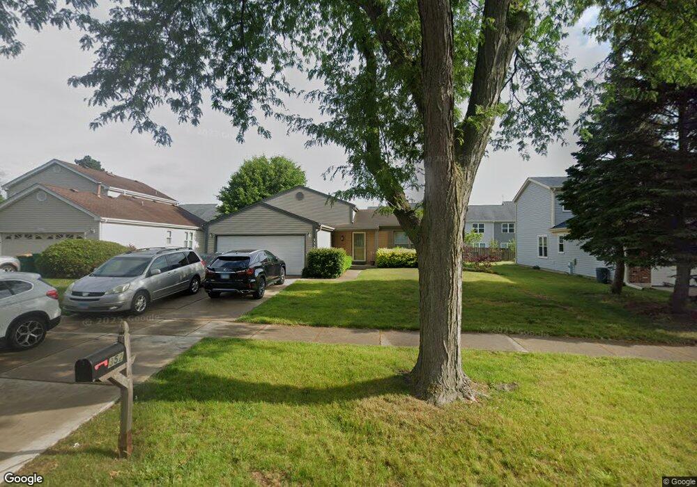
352 Thompson Blvd Buffalo Grove, IL 60089
Estimated Value: $388,000 - $535,000
4
Beds
2
Baths
1,200
Sq Ft
$378/Sq Ft
Est. Value
About This Home
This home is located at 352 Thompson Blvd, Buffalo Grove, IL 60089 and is currently estimated at $453,569, approximately $377 per square foot. 352 Thompson Blvd is a home located in Lake County with nearby schools including Prairie Elementary School, Twin Groves Middle School, and Adlai E Stevenson High School.
Ownership History
Date
Name
Owned For
Owner Type
Purchase Details
Closed on
Jun 13, 2003
Sold by
Metz Howard A and Metz Elaine
Bought by
Moy Yei Feng and Moy Connie
Current Estimated Value
Home Financials for this Owner
Home Financials are based on the most recent Mortgage that was taken out on this home.
Original Mortgage
$259,000
Outstanding Balance
$111,229
Interest Rate
5.51%
Mortgage Type
Purchase Money Mortgage
Estimated Equity
$342,340
Purchase Details
Closed on
Oct 29, 1994
Sold by
Metz Howard A and Metz Elaine
Bought by
Metz Howard A and Metz Elaine
Purchase Details
Closed on
Jul 8, 1994
Sold by
Gorelik Boris and Gorelik Dina
Bought by
Metz Howard A and Metz Elaine
Home Financials for this Owner
Home Financials are based on the most recent Mortgage that was taken out on this home.
Original Mortgage
$152,000
Interest Rate
8.62%
Create a Home Valuation Report for This Property
The Home Valuation Report is an in-depth analysis detailing your home's value as well as a comparison with similar homes in the area
Home Values in the Area
Average Home Value in this Area
Purchase History
| Date | Buyer | Sale Price | Title Company |
|---|---|---|---|
| Moy Yei Feng | $324,000 | Multiple | |
| Metz Howard A | -- | -- | |
| Metz Howard A | $190,000 | Attorneys Natl Title Network |
Source: Public Records
Mortgage History
| Date | Status | Borrower | Loan Amount |
|---|---|---|---|
| Open | Moy Yei Feng | $259,000 | |
| Previous Owner | Metz Howard A | $152,000 |
Source: Public Records
Tax History Compared to Growth
Tax History
| Year | Tax Paid | Tax Assessment Tax Assessment Total Assessment is a certain percentage of the fair market value that is determined by local assessors to be the total taxable value of land and additions on the property. | Land | Improvement |
|---|---|---|---|---|
| 2024 | $10,981 | $128,034 | $30,852 | $97,182 |
| 2023 | $10,977 | $115,056 | $27,725 | $87,331 |
| 2022 | $10,977 | $111,271 | $26,813 | $84,458 |
| 2021 | $10,560 | $110,071 | $26,524 | $83,547 |
| 2020 | $10,311 | $110,446 | $26,614 | $83,832 |
| 2019 | $10,171 | $110,039 | $26,516 | $83,523 |
| 2018 | $5,166 | $107,835 | $26,206 | $81,629 |
| 2017 | $9,461 | $105,318 | $25,594 | $79,724 |
| 2016 | $9,209 | $100,850 | $24,508 | $76,342 |
| 2015 | $8,958 | $94,314 | $22,920 | $71,394 |
| 2014 | $8,621 | $89,768 | $24,616 | $65,152 |
| 2012 | $8,557 | $89,948 | $24,665 | $65,283 |
Source: Public Records
Map
Nearby Homes
- 538 Lasalle Ct
- 531 Lasalle Ln
- 327 Lasalle Ln
- 1118 Larraway Dr
- 555 Coventry Ln
- 1272 Sandhurst Dr
- 15 Thompson Ct
- 1113 Lockwood Dr
- 1265 Devonshire Rd
- 1901 Brandywyn Ln
- 1903 Sheridan Rd
- 268 Hoffmann Dr
- 361 Hoffmann Dr
- 896 Chaucer Way Unit 2
- 938 Hidden Lake Dr
- 1141 Devonshire Rd
- 333 Didier Ct
- 1012 Hobson Dr
- 22118 N Prairie Rd
- 931 Shady Grove Ln
- 360 Thompson Blvd
- 340 Thompson Blvd
- 330 Thompson Blvd
- 400 Thompson Blvd
- 401 Caren Dr
- 320 Thompson Blvd
- 410 Thompson Blvd
- 495 Lasalle Ln
- 302 Ronnie Dr
- 310 Thompson Blvd
- 402 Caren Dr
- 405 Caren Dr
- 497 Lasalle Ln
- 420 Thompson Blvd
- 306 Ronnie Dr
- 499 Lasalle Ln
- 409 Caren Dr
- 406 Caren Dr
- 300 Thompson Blvd
- 500 Lyon Dr