3525 South St Coventry, CT 06238
Estimated Value: $372,000 - $413,000
3
Beds
2
Baths
1,296
Sq Ft
$303/Sq Ft
Est. Value
About This Home
This home is located at 3525 South St, Coventry, CT 06238 and is currently estimated at $392,844, approximately $303 per square foot. 3525 South St is a home located in Tolland County with nearby schools including Coventry Grammar School, George Hersey Robertson School, and Capt. Nathan Hale School.
Ownership History
Date
Name
Owned For
Owner Type
Purchase Details
Closed on
May 24, 2021
Sold by
Field Mark S
Bought by
Barrett John W
Current Estimated Value
Purchase Details
Closed on
Sep 18, 2003
Sold by
Sullivan Paul
Bought by
Field Mark
Purchase Details
Closed on
Oct 31, 1990
Sold by
Sullivan Thomas
Bought by
Sullivan Paul
Create a Home Valuation Report for This Property
The Home Valuation Report is an in-depth analysis detailing your home's value as well as a comparison with similar homes in the area
Home Values in the Area
Average Home Value in this Area
Purchase History
| Date | Buyer | Sale Price | Title Company |
|---|---|---|---|
| Barrett John W | $277,500 | None Available | |
| Barrett John W | $277,500 | None Available | |
| Field Mark | $259,900 | -- | |
| Field Mark | $259,900 | -- | |
| Sullivan Paul | $85,000 | -- |
Source: Public Records
Mortgage History
| Date | Status | Borrower | Loan Amount |
|---|---|---|---|
| Previous Owner | Sullivan Paul | $28,000 | |
| Previous Owner | Sullivan Paul | $28,000 | |
| Previous Owner | Sullivan Paul | $115,000 |
Source: Public Records
Tax History Compared to Growth
Tax History
| Year | Tax Paid | Tax Assessment Tax Assessment Total Assessment is a certain percentage of the fair market value that is determined by local assessors to be the total taxable value of land and additions on the property. | Land | Improvement |
|---|---|---|---|---|
| 2025 | $5,648 | $237,700 | $59,000 | $178,700 |
| 2024 | $5,203 | $156,200 | $51,700 | $104,500 |
| 2023 | $4,958 | $156,200 | $51,700 | $104,500 |
| 2022 | $4,866 | $156,200 | $51,700 | $104,500 |
| 2021 | $4,866 | $156,200 | $51,700 | $104,500 |
| 2020 | $4,869 | $156,200 | $51,700 | $104,500 |
| 2019 | $5,030 | $156,200 | $51,700 | $104,500 |
| 2018 | $4,553 | $141,400 | $51,700 | $89,700 |
| 2017 | $4,525 | $141,400 | $51,700 | $89,700 |
| 2016 | $4,412 | $141,400 | $51,700 | $89,700 |
| 2015 | $4,412 | $141,400 | $51,700 | $89,700 |
| 2014 | $4,595 | $161,400 | $64,200 | $97,200 |
Source: Public Records
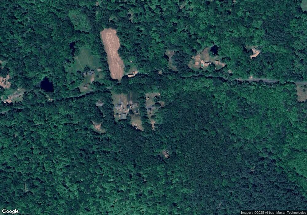
Map
Nearby Homes
- 3224 South St
- 0 Skinner Hill Rd Unit 24077239
- 38 John Paul Ln
- 16 Pine Ridge Dr
- 0 Rr 6 Route Unit 24064143
- 7 Aspinall Dr
- 38 Aspinall Dr
- 0 Boston Turnpike Unit 24128587
- 54 Wolf Hill Rd Unit TBB
- 34 Hanover Farms Rd
- 0 Wheeling Rd Unit 24116879
- 66 Barnsbee Ln
- 78 Bear Swamp Rd
- 54 Wolf Hill (Lot#49) Rd
- 37 Wolf Hill Lot (#40) Rd
- 37 Wolf Hill Rd Unit Lot 40
- 105 School Rd
- 1230 Boston Turnpike
- 48 Lakeview Dr
- 30 Knollwood Dr