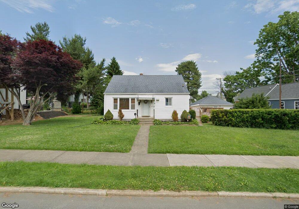
353 Alliance St Havre de Grace, MD 21078
Estimated Value: $332,000 - $419,000
--
Bed
3
Baths
1,845
Sq Ft
$201/Sq Ft
Est. Value
About This Home
This home is located at 353 Alliance St, Havre de Grace, MD 21078 and is currently estimated at $369,942, approximately $200 per square foot. 353 Alliance St is a home located in Harford County with nearby schools including Havre de Grace Elementary School, Havre de Grace Middle School, and Havre de Grace High School.
Ownership History
Date
Name
Owned For
Owner Type
Purchase Details
Closed on
May 7, 1997
Sold by
Gamatoria Stephen J
Bought by
Gorham Mark A and Gorham Sharon Lynn
Current Estimated Value
Purchase Details
Closed on
May 10, 1983
Sold by
Clark Junius M
Bought by
Gamatoria Stephen J
Home Financials for this Owner
Home Financials are based on the most recent Mortgage that was taken out on this home.
Original Mortgage
$47,000
Interest Rate
12.71%
Purchase Details
Closed on
May 4, 1982
Sold by
Day Willard F and Day Wf
Bought by
Clark Junius M
Create a Home Valuation Report for This Property
The Home Valuation Report is an in-depth analysis detailing your home's value as well as a comparison with similar homes in the area
Home Values in the Area
Average Home Value in this Area
Purchase History
| Date | Buyer | Sale Price | Title Company |
|---|---|---|---|
| Gorham Mark A | $115,000 | -- | |
| Gamatoria Stephen J | $58,000 | -- | |
| Clark Junius M | $53,000 | -- |
Source: Public Records
Mortgage History
| Date | Status | Borrower | Loan Amount |
|---|---|---|---|
| Previous Owner | Gamatoria Stephen J | $47,000 | |
| Closed | Gorham Mark A | -- |
Source: Public Records
Tax History Compared to Growth
Tax History
| Year | Tax Paid | Tax Assessment Tax Assessment Total Assessment is a certain percentage of the fair market value that is determined by local assessors to be the total taxable value of land and additions on the property. | Land | Improvement |
|---|---|---|---|---|
| 2025 | $2,289 | $253,633 | $0 | $0 |
| 2024 | $2,289 | $240,100 | $68,400 | $171,700 |
| 2023 | $2,222 | $233,033 | $0 | $0 |
| 2022 | $2,154 | $225,967 | $0 | $0 |
| 2021 | $2,142 | $218,900 | $68,400 | $150,500 |
| 2020 | $2,142 | $213,000 | $0 | $0 |
| 2019 | $2,083 | $207,100 | $0 | $0 |
| 2018 | $2,005 | $201,200 | $78,400 | $122,800 |
| 2017 | $2,005 | $201,200 | $0 | $0 |
| 2016 | -- | $201,200 | $0 | $0 |
| 2015 | $2,158 | $203,900 | $0 | $0 |
| 2014 | $2,158 | $203,900 | $0 | $0 |
Source: Public Records
Map
Nearby Homes
- 605 Concord St Unit 3E
- 313 S Washington St
- 12 Concord Place
- 243 Blue Bill Ln
- 562 Girard St
- 247 D Fountain St
- 610 Lewis St
- 317 S Stokes St
- 714 Revolution St
- 110 S Washington St
- 726 Girard St
- 556 Congress Ave
- 202 Seneca Way Unit 38
- Sophia Plan at Bulle Rock - Villas
- Jordan II Plan at Bulle Rock - Villas
- Jordan III Plan at Bulle Rock - Villas
- Carson II Plan at Bulle Rock - Villas
- 952 Chesapeake Dr
- 977 Chesapeake Dr
- 105 Concove Way
- 319 Alliance St
- 317 Alliance St
- 617 S Washington St
- 625 S Washington St
- 315 Alliance St
- 613 S Washington St
- 358 Alliance St
- 309 Alliance St
- 318 Alliance St
- 316 Alliance St
- 307 Alliance St
- 701 S Washington St
- 607 S Washington St
- 320 Lewis St
- 352 Lewis St
- 332 Lewis St
- 709 S Washington St
- 303 Alliance St
- 614 Market St
- 612 Market St