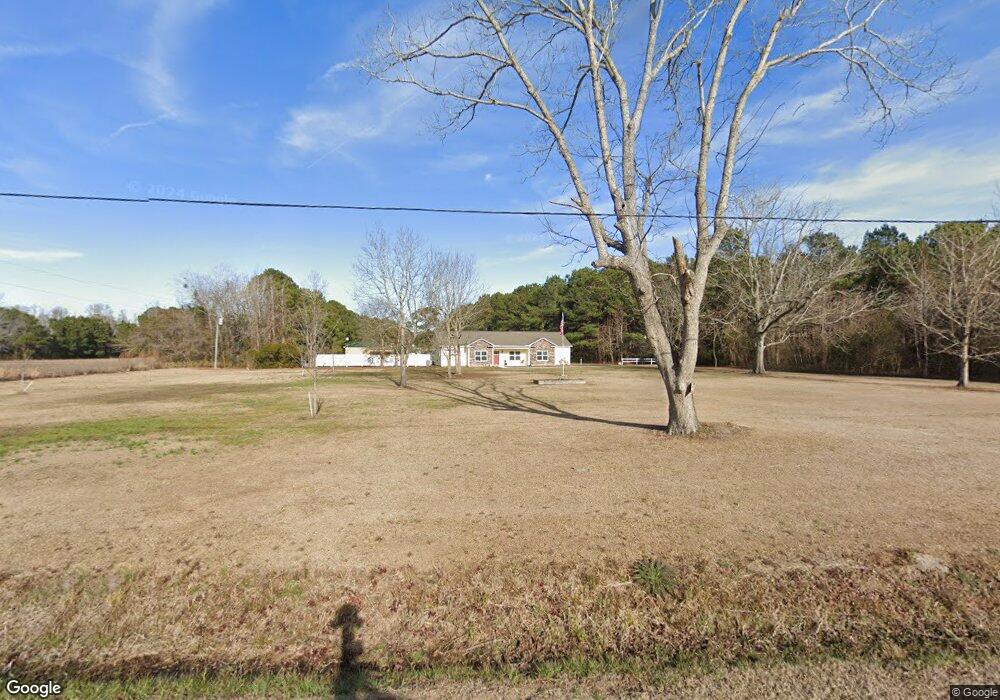
353 Belt Rd Hampstead, NC 28443
Estimated Value: $498,000 - $767,000
3
Beds
3
Baths
2,314
Sq Ft
$271/Sq Ft
Est. Value
About This Home
This home is located at 353 Belt Rd, Hampstead, NC 28443 and is currently estimated at $626,353, approximately $270 per square foot. 353 Belt Rd is a home with nearby schools including North Topsail Elementary School, Topsail Middle School, and Topsail High School.
Ownership History
Date
Name
Owned For
Owner Type
Purchase Details
Closed on
May 15, 2023
Sold by
Ottaway Ronnie William and Ottaway Thetis Annde
Bought by
Ottaway Ronnie William and Ottaway Thetis Anndella
Current Estimated Value
Purchase Details
Closed on
Aug 12, 2011
Bought by
Ottaway Ronnie W
Purchase Details
Closed on
Oct 29, 2008
Sold by
Carter James Edward and Carter Judy Millis
Bought by
Carter Douglas Ezekiel
Purchase Details
Closed on
Nov 21, 2007
Sold by
Merritt James Kenneh and Merritt Dora Jean
Bought by
Carter James E and Carter Douglas E
Create a Home Valuation Report for This Property
The Home Valuation Report is an in-depth analysis detailing your home's value as well as a comparison with similar homes in the area
Home Values in the Area
Average Home Value in this Area
Purchase History
| Date | Buyer | Sale Price | Title Company |
|---|---|---|---|
| Ottaway Ronnie William | -- | Chicago Title | |
| Ottaway Ronnie W | -- | -- | |
| Carter Douglas Ezekiel | -- | -- | |
| Carter James E | -- | -- |
Source: Public Records
Tax History Compared to Growth
Tax History
| Year | Tax Paid | Tax Assessment Tax Assessment Total Assessment is a certain percentage of the fair market value that is determined by local assessors to be the total taxable value of land and additions on the property. | Land | Improvement |
|---|---|---|---|---|
| 2024 | $3,713 | $377,718 | $111,150 | $266,568 |
| 2023 | $3,340 | $337,638 | $111,150 | $226,488 |
| 2022 | $3,048 | $337,638 | $111,150 | $226,488 |
| 2021 | $3,048 | $337,638 | $111,150 | $226,488 |
| 2020 | $3,048 | $337,638 | $111,150 | $226,488 |
| 2019 | $3,048 | $337,638 | $111,150 | $226,488 |
| 2018 | $673 | $266,429 | $79,380 | $187,049 |
| 2017 | $673 | $79,380 | $79,380 | $0 |
| 2016 | $665 | $79,380 | $79,380 | $0 |
| 2015 | $665 | $79,380 | $79,380 | $0 |
| 2014 | $520 | $79,380 | $79,380 | $0 |
| 2013 | -- | $79,380 | $79,380 | $0 |
| 2012 | -- | $79,380 | $79,380 | $0 |
Source: Public Records
Map
Nearby Homes
- 711 Belt Rd
- 14 Old Landing Rd
- 121 Poplar Branch Way
- 129 Poplar Branch Way
- 134 N Grassland Rd Unit Th8
- Norman Plan at Waterside Townhomes
- Pearson Plan at Waterside Townhomes
- 121 N Grassland Rd Unit 59
- 119 N Grassland Rd Unit 58
- 119 N Grassland Rd Unit Th58
- 117 N Grassland Rd Unit 57
- 117 N Grassland Rd Unit Th57
- 115 N Grassland Rd Unit 56
- 113 N Grassland Rd Unit 55
- 109 N Grassland Rd Unit Th 53
- 109 N Grassland Rd Unit 53
- 105 N Grassland Rd Unit 51
- 105 N Grassland Rd Unit Th 51
- 103 N Grassland Rd Unit 50
- 103 N Grassland Rd Unit Th 50