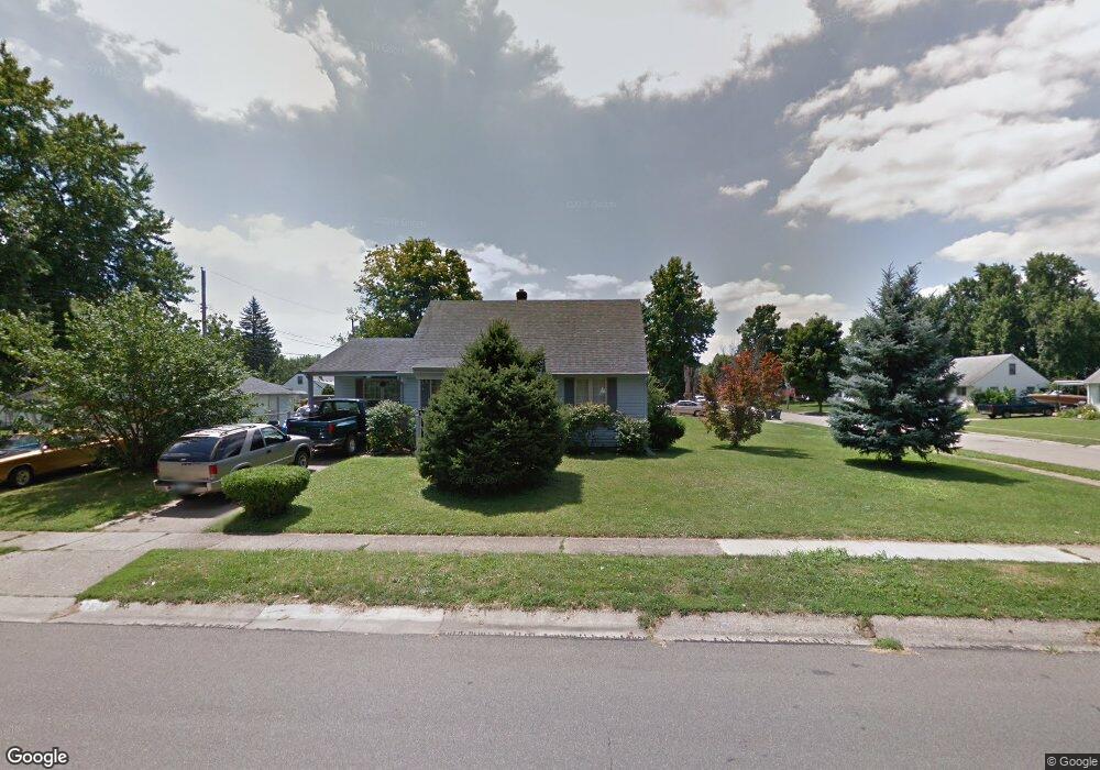
353 Brookwood Ave Hamilton, OH 45013
Estimated Value: $205,000 - $217,000
2
Beds
1
Bath
1,188
Sq Ft
$176/Sq Ft
Est. Value
About This Home
This home is located at 353 Brookwood Ave, Hamilton, OH 45013 and is currently estimated at $209,062, approximately $175 per square foot. 353 Brookwood Ave is a home located in Butler County with nearby schools including Brookwood Elementary School, Wilson Middle School, and Hamilton High School Main Campus.
Ownership History
Date
Name
Owned For
Owner Type
Purchase Details
Closed on
Jun 9, 1994
Sold by
Christman George M
Bought by
Glancy Michael D and Glancy Deborah
Current Estimated Value
Home Financials for this Owner
Home Financials are based on the most recent Mortgage that was taken out on this home.
Original Mortgage
$69,764
Interest Rate
8.45%
Mortgage Type
FHA
Purchase Details
Closed on
Jun 1, 1993
Create a Home Valuation Report for This Property
The Home Valuation Report is an in-depth analysis detailing your home's value as well as a comparison with similar homes in the area
Home Values in the Area
Average Home Value in this Area
Purchase History
| Date | Buyer | Sale Price | Title Company |
|---|---|---|---|
| Glancy Michael D | $69,800 | -- | |
| -- | $61,000 | -- |
Source: Public Records
Mortgage History
| Date | Status | Borrower | Loan Amount |
|---|---|---|---|
| Closed | Glancy Michael D | $69,764 |
Source: Public Records
Tax History Compared to Growth
Tax History
| Year | Tax Paid | Tax Assessment Tax Assessment Total Assessment is a certain percentage of the fair market value that is determined by local assessors to be the total taxable value of land and additions on the property. | Land | Improvement |
|---|---|---|---|---|
| 2024 | $1,774 | $51,500 | $7,980 | $43,520 |
| 2023 | $1,779 | $51,830 | $7,980 | $43,850 |
| 2022 | $1,444 | $37,210 | $7,980 | $29,230 |
| 2021 | $1,235 | $35,980 | $7,980 | $28,000 |
| 2020 | $1,286 | $35,980 | $7,980 | $28,000 |
| 2019 | $2,195 | $29,980 | $8,690 | $21,290 |
| 2018 | $989 | $29,980 | $8,690 | $21,290 |
| 2017 | $997 | $29,980 | $8,690 | $21,290 |
| 2016 | $929 | $27,590 | $8,690 | $18,900 |
| 2015 | $923 | $27,590 | $8,690 | $18,900 |
| 2014 | $1,162 | $27,590 | $8,690 | $18,900 |
| 2013 | $1,162 | $30,810 | $11,590 | $19,220 |
Source: Public Records
Map
Nearby Homes
- 885 Carlisle Ave
- 1415 Main St
- 560 Springvale Dr
- 82 N Brookwood Ave
- 16 Rockford Dr
- 781 Springvale Dr
- 1317 Glenbrook Dr
- 55 Cove Ct
- 75 Waterpoint Ln
- 1350 Stahlheber Rd
- 1317 Goodman Ave
- 5 Waterview Ct Unit 30
- 2073 Sunset Dr
- 1063 Westview Ave
- 1150 Franklin St
- 1311 Park Ave
- 1593 Eden Park Dr
- 1210 Stephanie Dr
- 1210 Stephanie Dr Unit 3
- 1028 Ross Ave
- 180 Westfield Ave
- 301 Brookwood Ave
- 183 Hatherly Dr
- 166 Westfield Ave
- 195 Westfield Ave
- 207 Hatherly Dr
- 181 Westfield Ave
- 171 Hatherly Dr
- 220 Westfield Ave
- 207 Westfield Ave
- 150 Westfield Ave
- 165 Westfield Ave
- 221 Hatherly Dr
- 163 Hatherly Dr
- 221 Westfield Ave
- 297 Brookwood Ave
- 234 Westfield Ave
- 151 Westfield Ave
- 134 Westfield Ave
- 998 Carlisle Ave