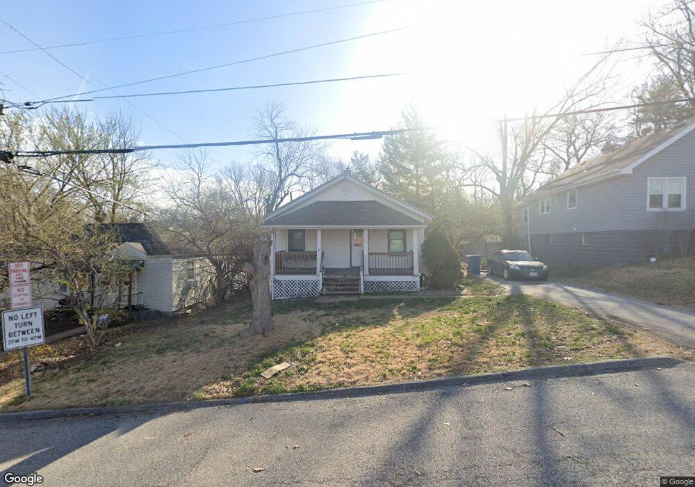
3540 Gordon Ave Saint Louis, MO 63114
Estimated Value: $125,000 - $173,000
3
Beds
1
Bath
996
Sq Ft
$143/Sq Ft
Est. Value
About This Home
This home is located at 3540 Gordon Ave, Saint Louis, MO 63114 and is currently estimated at $141,957, approximately $142 per square foot. 3540 Gordon Ave is a home located in St. Louis County with nearby schools including Marvin Elementary School, Ritenour Middle School, and Ritenour Senior High School.
Ownership History
Date
Name
Owned For
Owner Type
Purchase Details
Closed on
Sep 3, 2004
Sold by
Carlson Kathleen L and Carlson Keith M
Bought by
Karr Laura M
Current Estimated Value
Home Financials for this Owner
Home Financials are based on the most recent Mortgage that was taken out on this home.
Original Mortgage
$71,250
Outstanding Balance
$35,519
Interest Rate
6.08%
Mortgage Type
Purchase Money Mortgage
Estimated Equity
$106,438
Create a Home Valuation Report for This Property
The Home Valuation Report is an in-depth analysis detailing your home's value as well as a comparison with similar homes in the area
Home Values in the Area
Average Home Value in this Area
Purchase History
| Date | Buyer | Sale Price | Title Company |
|---|---|---|---|
| Karr Laura M | $75,000 | -- |
Source: Public Records
Mortgage History
| Date | Status | Borrower | Loan Amount |
|---|---|---|---|
| Open | Karr Laura M | $71,250 |
Source: Public Records
Tax History Compared to Growth
Tax History
| Year | Tax Paid | Tax Assessment Tax Assessment Total Assessment is a certain percentage of the fair market value that is determined by local assessors to be the total taxable value of land and additions on the property. | Land | Improvement |
|---|---|---|---|---|
| 2025 | $1,771 | $25,740 | $6,230 | $19,510 |
| 2024 | $1,771 | $20,430 | $3,330 | $17,100 |
| 2023 | $1,771 | $20,430 | $3,330 | $17,100 |
| 2022 | $1,538 | $15,830 | $2,910 | $12,920 |
| 2021 | $1,537 | $15,830 | $2,910 | $12,920 |
| 2020 | $1,510 | $14,290 | $4,640 | $9,650 |
| 2019 | $1,493 | $14,290 | $4,640 | $9,650 |
| 2018 | $1,373 | $11,820 | $2,170 | $9,650 |
| 2017 | $1,311 | $11,820 | $2,170 | $9,650 |
| 2016 | $1,181 | $10,680 | $2,930 | $7,750 |
| 2015 | $1,207 | $10,680 | $2,930 | $7,750 |
| 2014 | $1,376 | $12,410 | $2,910 | $9,500 |
Source: Public Records
Map
Nearby Homes
- 13 Jonell Ct
- 3563 Boswell Ave
- 3562 Boswell Ave
- 3534 Calvert Ave
- 3220 Marvin Ave
- 3329 Dix Ave
- 9060 Patrick Dr
- 3316 Edmundson Rd
- 9436 North Ave
- 3355 Edmundson Rd
- 9429 Burdella Ave
- 9015 Mcnulty Dr
- 9432 Tudor Ave
- 9422 Chester Ave
- 9047 Kathlyn Dr
- 3219 Coles Ave
- 9207 Bataan Dr
- 2812 Woodson Rd
- 8718 Mavis Place
- 3213 Airway Ave
- 3538 Gordon Ave
- 3544 Gordon Ave
- 10 Jonell Ct
- 3536 Gordon Ave
- 3548 Gordon Ave
- 14 Jonell Ct
- 3535 Gordon Ave
- 18 Jonell Ct
- 3541 Gordon Ave
- 3533 Gordon Ave
- 3530 Gordon Ave
- 3552 Gordon Ave
- 3543 Gordon Ave
- 3531 Gordon Ave
- 22 Jonell Ct
- 3545 Gordon Ave
- 3529 Gordon Ave
- 3556 Gordon Ave
- 3547 Gordon Ave
- 3527 Gordon Ave