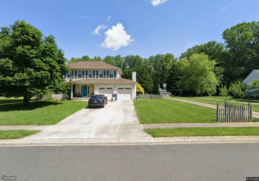
355 Ambleside Ln Aberdeen, MD 21001
Estimated Value: $482,481 - $569,000
--
Bed
3
Baths
2,798
Sq Ft
$183/Sq Ft
Est. Value
About This Home
This home is located at 355 Ambleside Ln, Aberdeen, MD 21001 and is currently estimated at $512,870, approximately $183 per square foot. 355 Ambleside Ln is a home located in Harford County with nearby schools including Halls Cross Roads Elementary School, Aberdeen Middle School, and Aberdeen High School.
Ownership History
Date
Name
Owned For
Owner Type
Purchase Details
Closed on
Nov 19, 2002
Sold by
Bezjak Joseph J
Bought by
Haddox Richard D and Haddox Chong A
Current Estimated Value
Purchase Details
Closed on
Sep 17, 1997
Sold by
Bezjak Joseph J
Bought by
Bezjak Joseph J and Bezjak Gina Q
Purchase Details
Closed on
Oct 16, 1992
Sold by
Ryland Group Inc The
Bought by
Bezjak Joseph J
Home Financials for this Owner
Home Financials are based on the most recent Mortgage that was taken out on this home.
Original Mortgage
$183,400
Interest Rate
8.06%
Create a Home Valuation Report for This Property
The Home Valuation Report is an in-depth analysis detailing your home's value as well as a comparison with similar homes in the area
Home Values in the Area
Average Home Value in this Area
Purchase History
| Date | Buyer | Sale Price | Title Company |
|---|---|---|---|
| Haddox Richard D | $200,000 | -- | |
| Bezjak Joseph J | -- | -- | |
| Bezjak Joseph J | $181,200 | -- |
Source: Public Records
Mortgage History
| Date | Status | Borrower | Loan Amount |
|---|---|---|---|
| Previous Owner | Bezjak Joseph J | $183,400 | |
| Closed | Haddox Richard D | -- |
Source: Public Records
Tax History Compared to Growth
Tax History
| Year | Tax Paid | Tax Assessment Tax Assessment Total Assessment is a certain percentage of the fair market value that is determined by local assessors to be the total taxable value of land and additions on the property. | Land | Improvement |
|---|---|---|---|---|
| 2025 | $1,789 | $390,833 | $0 | $0 |
| 2024 | $1,789 | $363,767 | $0 | $0 |
| 2023 | $1,789 | $336,700 | $78,800 | $257,900 |
| 2022 | $2,592 | $330,133 | $0 | $0 |
| 2021 | $3,188 | $323,567 | $0 | $0 |
| 2020 | $3,188 | $317,000 | $78,800 | $238,200 |
| 2019 | $3,147 | $312,933 | $0 | $0 |
| 2018 | $3,079 | $308,867 | $0 | $0 |
| 2017 | $3,038 | $304,800 | $0 | $0 |
| 2016 | -- | $302,033 | $0 | $0 |
| 2015 | $3,205 | $299,267 | $0 | $0 |
| 2014 | $3,205 | $296,500 | $0 | $0 |
Source: Public Records
Map
Nearby Homes
- 353 Ambleside Ln
- 357 Ambleside Ln
- 357 Ambleside Ct
- 424 Grasmere Dr
- 351 Ambleside Ln
- 359 Ambleside Ln
- 350 Ambleside Ln
- 420 Grasmere Dr
- 356 Ambleside Ln
- 370 Conniston Way
- 425 Grasmere Dr
- 426 Grasmere Dr
- 354 Ambleside Ln
- 352 Ambleside Ln
- 423 Grasmere Dr
- 430 Grasmere Dr
- 369 Conniston Way
- 368 Conniston Way
- 418 Grasmere Dr
- 421 Grasmere Dr