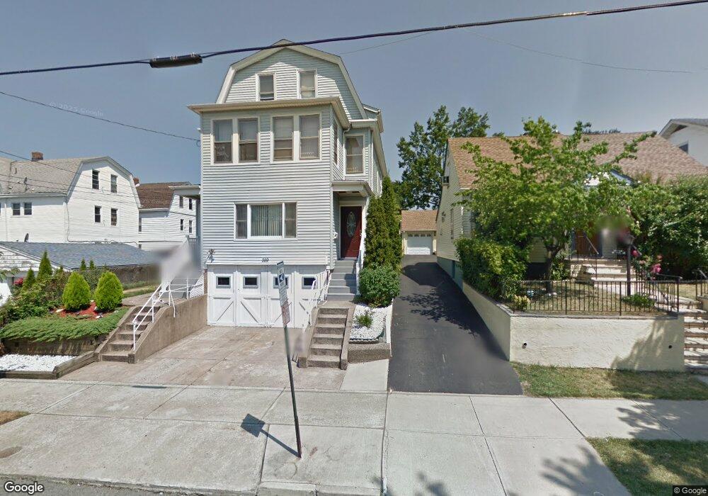
359 Buffalo Ave Unit 361 Paterson, NJ 07503
South Paterson NeighborhoodEstimated Value: $660,000 - $858,000
--
Bed
--
Bath
3,152
Sq Ft
$233/Sq Ft
Est. Value
About This Home
This home is located at 359 Buffalo Ave Unit 361, Paterson, NJ 07503 and is currently estimated at $734,934, approximately $233 per square foot. 359 Buffalo Ave Unit 361 is a home located in Passaic County with nearby schools including Edward W. Kilpatrick School of Discovery, Dale Avenue Elementary School, and Paterson Public School No. 3.
Ownership History
Date
Name
Owned For
Owner Type
Purchase Details
Closed on
Aug 2, 2011
Sold by
Kishko Kishko Mary Mary and Kishko Louis
Bought by
Gutierrez Richard and Paulino Zobeida
Current Estimated Value
Home Financials for this Owner
Home Financials are based on the most recent Mortgage that was taken out on this home.
Original Mortgage
$306,989
Outstanding Balance
$214,329
Interest Rate
4.75%
Mortgage Type
FHA
Estimated Equity
$520,605
Create a Home Valuation Report for This Property
The Home Valuation Report is an in-depth analysis detailing your home's value as well as a comparison with similar homes in the area
Home Values in the Area
Average Home Value in this Area
Purchase History
| Date | Buyer | Sale Price | Title Company |
|---|---|---|---|
| Gutierrez Richard | $315,000 | -- |
Source: Public Records
Mortgage History
| Date | Status | Borrower | Loan Amount |
|---|---|---|---|
| Open | Gutierrez Richard | $306,989 |
Source: Public Records
Tax History Compared to Growth
Tax History
| Year | Tax Paid | Tax Assessment Tax Assessment Total Assessment is a certain percentage of the fair market value that is determined by local assessors to be the total taxable value of land and additions on the property. | Land | Improvement |
|---|---|---|---|---|
| 2025 | $15,708 | $308,300 | $86,100 | $222,200 |
| 2024 | $15,116 | $308,300 | $86,100 | $222,200 |
| 2022 | $14,311 | $308,300 | $86,100 | $222,200 |
| 2021 | $13,800 | $308,300 | $86,100 | $222,200 |
| 2020 | $12,872 | $308,300 | $86,100 | $222,200 |
| 2019 | $12,464 | $301,500 | $84,400 | $217,100 |
| 2018 | $12,939 | $299,100 | $83,600 | $215,500 |
| 2017 | $12,351 | $296,900 | $83,100 | $213,800 |
| 2016 | $13,191 | $304,000 | $78,100 | $225,900 |
| 2015 | $12,488 | $304,000 | $78,100 | $225,900 |
| 2014 | $10,237 | $353,000 | $171,800 | $181,200 |
Source: Public Records
Map
Nearby Homes
- 366-2-382 Trenton Ave Unit 5D
- 366-2-382 Trenton Ave Unit 5B
- 366 Trenton Ave Unit 4F
- 238 Vernon Ave Unit 240
- 432-434 Trenton Ave Unit 7
- 432 Trenton Ave
- 41 Columbia Ave
- 30 E 2nd St
- 165 E 2nd St
- 92 Wabash Ave
- 291 Maryland Ave Unit 295
- 156 Kentucky Ave Unit 158
- 21 E 5th St
- 693-695 E 31st St
- 693 E 31st St Unit 695
- 237 E 6th St
- 652 654e32nd St
- 652 E 32nd St Unit 654
- 248 22nd Ave
- 275 E 7th St
- 363 Buffalo Ave Unit 365
- 367 Buffalo Ave Unit 369
- 347-349 Trenton Ave
- 349 Trenton Ave Unit 351
- 343 Trenton Ave Unit 345
- 347 Trenton Ave Unit 349
- 369 Buffalo Ave Unit 371
- 341 Trenton Ave Unit 343
- 337 Trenton Ave Unit 339
- 359 Trenton Ave Unit 361
- 371-375 Buffalo Ave
- 360 Buffalo Ave Unit 362
- 371 Buffalo Ave Unit 375
- 364-366 Buffalo Ave
- 368 Buffalo Ave Unit 370
- 368 Buffalo Ave Unit 1
- 364 Buffalo Ave Unit 366
- 361 Trenton Ave Unit 363
- 335 Trenton Ave Unit 337
- 294 Delaware Ave Unit 296