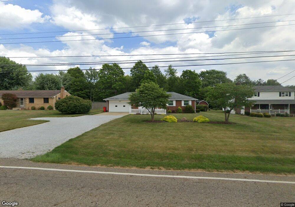
3594 Meese Rd Louisville, OH 44641
Estimated Value: $209,000 - $260,000
3
Beds
2
Baths
1,092
Sq Ft
$211/Sq Ft
Est. Value
About This Home
This home is located at 3594 Meese Rd, Louisville, OH 44641 and is currently estimated at $230,156, approximately $210 per square foot. 3594 Meese Rd is a home located in Stark County with nearby schools including Louisville High School and St. Thomas Aquinas High School & Middle School.
Ownership History
Date
Name
Owned For
Owner Type
Purchase Details
Closed on
Aug 7, 2010
Sold by
Frank Shirley A
Bought by
Miller Dennis J and Miller Margaret R
Current Estimated Value
Home Financials for this Owner
Home Financials are based on the most recent Mortgage that was taken out on this home.
Original Mortgage
$102,239
Outstanding Balance
$67,419
Interest Rate
4.49%
Mortgage Type
FHA
Estimated Equity
$162,737
Purchase Details
Closed on
Mar 6, 2007
Sold by
Estate Of Eugene G Frank
Bought by
Frank Shirley A
Create a Home Valuation Report for This Property
The Home Valuation Report is an in-depth analysis detailing your home's value as well as a comparison with similar homes in the area
Home Values in the Area
Average Home Value in this Area
Purchase History
| Date | Buyer | Sale Price | Title Company |
|---|---|---|---|
| Miller Dennis J | $111,100 | Attorney | |
| Frank Shirley A | -- | None Available |
Source: Public Records
Mortgage History
| Date | Status | Borrower | Loan Amount |
|---|---|---|---|
| Open | Miller Dennis J | $102,239 |
Source: Public Records
Tax History Compared to Growth
Tax History
| Year | Tax Paid | Tax Assessment Tax Assessment Total Assessment is a certain percentage of the fair market value that is determined by local assessors to be the total taxable value of land and additions on the property. | Land | Improvement |
|---|---|---|---|---|
| 2025 | -- | $62,370 | $15,750 | $46,620 |
| 2024 | -- | $62,370 | $15,750 | $46,620 |
| 2023 | $2,310 | $47,470 | $12,780 | $34,690 |
| 2022 | $2,316 | $47,470 | $12,780 | $34,690 |
| 2021 | $2,323 | $47,470 | $12,780 | $34,690 |
| 2020 | $1,968 | $42,500 | $11,520 | $30,980 |
| 2019 | $1,976 | $42,500 | $11,520 | $30,980 |
| 2018 | $1,970 | $42,500 | $11,520 | $30,980 |
| 2017 | $1,834 | $37,770 | $8,610 | $29,160 |
| 2016 | $1,794 | $37,770 | $8,610 | $29,160 |
| 2015 | $1,798 | $37,770 | $8,610 | $29,160 |
| 2014 | $1,807 | $35,120 | $8,020 | $27,100 |
| 2013 | $907 | $35,120 | $8,020 | $27,100 |
Source: Public Records
Map
Nearby Homes
- 3390 Meese Rd NE
- 2110 Edmar St
- 1812 E Broad St
- 1715 High St
- 8225 Georgetown St
- 908 Sand Lot Cir
- 641 S Nickelplate St
- 2015 E Main St
- 520 S Silver St
- 308 Superior St
- 728 E Broad St
- 0 Michigan Blvd
- 1702 View Pointe Ave
- 510 S Bauman Ct
- 204 E Broad St
- 107 E Broad St
- 1639 Horizon Dr
- 325 Lincoln Ave
- 1990 Belfort Ave
- 2425 Miday Ave NE
- 3614 Meese Rd
- 3566 Meese Rd
- 3544 Meese Rd NE
- 3544 Meese Rd NE
- 8835 Rue Helena St
- 3565 Meese Rd
- 3633 Meese Rd
- 3545 Meese Rd
- 3630 Meese Rd
- 8861 Rue Helena St
- 8861 Rue Helena St
- 8861 Rue Helena St
- 8861 Rue Helena St
- 3510 Meese Rd NE
- 8881 Rue Helena St
- 3663 Meese Rd
- 8834 Rue Helena St
- 3640 Meese Rd
- 3494 Meese Rd NE
- 3511 Meese Rd