36 Jentar Farm Rd Greenbrier, AR 72058
Estimated Value: $328,000 - $443,667
--
Bed
2
Baths
2,314
Sq Ft
$158/Sq Ft
Est. Value
About This Home
This home is located at 36 Jentar Farm Rd, Greenbrier, AR 72058 and is currently estimated at $366,667, approximately $158 per square foot. 36 Jentar Farm Rd is a home located in Faulkner County with nearby schools including Greenbrier Wooster Elementary School, Greenbrier Junior High School, and Greenbrier High School.
Ownership History
Date
Name
Owned For
Owner Type
Purchase Details
Closed on
Nov 5, 2008
Bought by
Henry
Current Estimated Value
Purchase Details
Closed on
Oct 29, 2008
Sold by
Henry Tim C and Henry Lisa C
Bought by
Henry Tim C and Henry Lisa C
Purchase Details
Closed on
Jan 4, 1999
Bought by
Virden
Purchase Details
Closed on
Apr 13, 1998
Bought by
Henry
Purchase Details
Closed on
Mar 25, 1998
Bought by
Henry
Purchase Details
Closed on
May 8, 1995
Bought by
Henry and Henry Virden
Create a Home Valuation Report for This Property
The Home Valuation Report is an in-depth analysis detailing your home's value as well as a comparison with similar homes in the area
Home Values in the Area
Average Home Value in this Area
Purchase History
| Date | Buyer | Sale Price | Title Company |
|---|---|---|---|
| Henry | -- | -- | |
| Henry Tim C | -- | Fidelity Title Services Inc | |
| Henry | -- | -- | |
| Virden | $23,000 | -- | |
| Henry | -- | -- | |
| Brock | -- | -- | |
| Henry | $4,000 | -- | |
| Henry | -- | -- |
Source: Public Records
Tax History Compared to Growth
Tax History
| Year | Tax Paid | Tax Assessment Tax Assessment Total Assessment is a certain percentage of the fair market value that is determined by local assessors to be the total taxable value of land and additions on the property. | Land | Improvement |
|---|---|---|---|---|
| 2025 | $3,547 | $72,680 | $5,440 | $67,240 |
| 2024 | $3,576 | $72,680 | $5,440 | $67,240 |
| 2023 | $2,496 | $54,990 | $4,420 | $50,570 |
| 2022 | $2,014 | $54,990 | $4,420 | $50,570 |
| 2021 | $1,907 | $54,990 | $4,420 | $50,570 |
| 2020 | $1,798 | $44,160 | $2,930 | $41,230 |
| 2019 | $1,798 | $44,160 | $2,930 | $41,230 |
| 2018 | $1,781 | $43,300 | $2,930 | $40,370 |
| 2017 | $1,779 | $43,300 | $2,930 | $40,370 |
| 2016 | $1,777 | $43,230 | $2,930 | $40,300 |
| 2015 | $1,910 | $46,150 | $2,820 | $43,330 |
| 2014 | $1,560 | $46,150 | $2,820 | $43,330 |
Source: Public Records
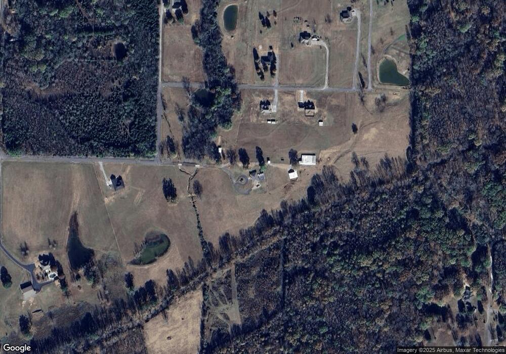
Map
Nearby Homes
- 9 Torro Park Cir
- 195 Green Valley Dr
- 9 Spencer Rd
- Lot 4 Noble Dr
- 3 Robin Cove
- 6 Springhill Dr W
- 11 Timbercrest Dr
- 12 Wilcox Acres
- 0 E Skyline Dr
- 13 Pear Cir
- 7 Pear Cir
- Lot 10 Southern Manor
- 18 Sky Dr
- 19 Horseshoe Dr
- 000 Keathley Dr
- 26 W Mobbs Cir
- 47 Weston Cir
- 18 Cornerstone Dr
- 108 Weston Cir
- 19 Mountain Grove Rd
- 36 Jentar Farm Rd
- 21 Cherub Ct
- 27 Cherub Ct
- 22 Jentar Farm Rd
- 20 Cherub Ct
- 28 Cherub Ct
- 22 Ryan Dr
- 33 Cherub Ct
- 10 Cherub Ct
- 12 Jentar Farm Rd
- 36 Cherub Ct
- 47 N Springhill Ln
- 47 N Springhill Ln
- 24 Torro Park Cir Unit 1
- 24 Torro Park Cir
- 24 Torro Park Cir
- 24 Torro Park Cir
- 227 Green Valley Dr
- 26 Ryan Dr
- 24-01 Torro Park Cir