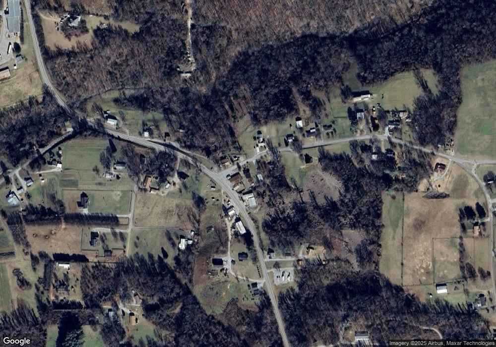
36 Myers Cove Rd McMinnville, TN 37110
Estimated Value: $164,000 - $908,861
--
Bed
1
Bath
1,422
Sq Ft
$265/Sq Ft
Est. Value
About This Home
This home is located at 36 Myers Cove Rd, McMinnville, TN 37110 and is currently estimated at $376,715, approximately $264 per square foot. 36 Myers Cove Rd is a home located in Warren County with nearby schools including Irving College Elementary School, Warren County High School, and Westwood Day School.
Ownership History
Date
Name
Owned For
Owner Type
Purchase Details
Closed on
Aug 15, 2011
Sold by
Deutsche Bank National Tru
Bought by
Currey Barbara
Current Estimated Value
Purchase Details
Closed on
Mar 22, 2011
Sold by
Wilmoth Leeann
Bought by
Deutsche Bank National Co
Purchase Details
Closed on
Aug 22, 2003
Sold by
Young Ryan and Young Leann
Bought by
Wilmoth Ronnie and Wilmoth Leann
Home Financials for this Owner
Home Financials are based on the most recent Mortgage that was taken out on this home.
Original Mortgage
$50,400
Interest Rate
5.72%
Purchase Details
Closed on
Aug 7, 2000
Bought by
Young Ryan and Young Leann
Purchase Details
Closed on
Jan 1, 1985
Purchase Details
Closed on
Jan 1, 1978
Purchase Details
Closed on
Jan 2, 1900
Bought by
Ware Earl H and Ware Joy
Create a Home Valuation Report for This Property
The Home Valuation Report is an in-depth analysis detailing your home's value as well as a comparison with similar homes in the area
Home Values in the Area
Average Home Value in this Area
Purchase History
| Date | Buyer | Sale Price | Title Company |
|---|---|---|---|
| Currey Barbara | $37,000 | -- | |
| Deutsche Bank National Co | $13,600 | -- | |
| Wilmoth Ronnie | -- | -- | |
| Young Ryan | $44,100 | -- | |
| -- | $13,600 | -- | |
| -- | $73,000 | -- | |
| Ware Earl H | -- | -- |
Source: Public Records
Mortgage History
| Date | Status | Borrower | Loan Amount |
|---|---|---|---|
| Previous Owner | Ware Earl H | $50,400 |
Source: Public Records
Tax History Compared to Growth
Tax History
| Year | Tax Paid | Tax Assessment Tax Assessment Total Assessment is a certain percentage of the fair market value that is determined by local assessors to be the total taxable value of land and additions on the property. | Land | Improvement |
|---|---|---|---|---|
| 2024 | $284 | $14,425 | $2,025 | $12,400 |
| 2023 | $284 | $14,425 | $2,025 | $12,400 |
| 2022 | $284 | $14,425 | $2,025 | $12,400 |
| 2021 | $284 | $14,425 | $2,025 | $12,400 |
| 2020 | $209 | $14,425 | $2,025 | $12,400 |
| 2019 | $247 | $11,000 | $1,775 | $9,225 |
| 2018 | $209 | $10,625 | $1,775 | $8,850 |
| 2017 | $209 | $10,625 | $1,775 | $8,850 |
| 2016 | $209 | $10,625 | $1,775 | $8,850 |
| 2015 | $212 | $10,625 | $1,775 | $8,850 |
| 2014 | $226 | $10,625 | $1,775 | $8,850 |
| 2013 | $226 | $11,319 | $0 | $0 |
Source: Public Records
Map
Nearby Homes
- 0 Safley Hollow Rd
- 400 Collins Run
- 0 Collins Run Unit RTC2986421
- 199 Cojohodo Ct
- 161 Collins Run
- 3216 Beersheba Hwy
- 0 Wash Roberts Rd Unit RTC2791678
- 0 Nunley Ln
- 0 Shellsford Rd Unit RTC2904668
- 735 Northcutt Cove Rd
- 0 Tennessee 8
- 86 Woodlee Trail
- 215 Orchard Ln
- 252 Dawn Dr
- 1867 Shellsford Rd
- 103 AC Harrison Ferry Rd
- 103 Harrison Ferry Rd
- 2548 Stone Man Rd
- 770 Hill Rd
- 220 Higginbotham Rd
- 29 Myers Cove Rd
- 5051 Beersheba Hwy
- 70 Myers Cove Rd
- 0 Myers Cove Rd
- 15 Myers Cove Rd
- 65 Myers Cove Rd
- 5080 Beersheba Hwy
- 99 Myers Cove Rd
- 4980 Beersheba Hwy
- 118 Myers Cove Rd
- 125 Myers Cove Rd
- 5120 Beersheba Hwy
- 4948 Beersheba Hwy
- 5125 Beersheba Hwy
- 117 Tony's Ln
- 145 Myers Cove Rd
- 5124 Beersheba Hwy
- 45 Tony's Ln
- 51 Dangerous Dr
- 4915 Beersheba Hwy
