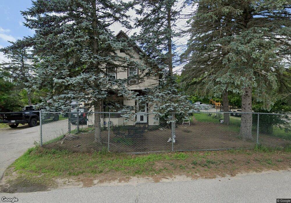
36 Preston St Hillsborough, NH 03244
Hillsboro NeighborhoodEstimated Value: $287,000 - $356,259
2
Beds
1
Bath
2,660
Sq Ft
$123/Sq Ft
Est. Value
About This Home
This home is located at 36 Preston St, Hillsborough, NH 03244 and is currently estimated at $327,565, approximately $123 per square foot. 36 Preston St is a home located in Hillsborough County with nearby schools including Hillsboro-Deering Elementary School, Hillsboro-Deering High School, and Hillsboro Christian School.
Ownership History
Date
Name
Owned For
Owner Type
Purchase Details
Closed on
Oct 15, 2008
Sold by
Duefield Marion A Est
Bought by
Drew Larry W and Drew Linda D
Current Estimated Value
Create a Home Valuation Report for This Property
The Home Valuation Report is an in-depth analysis detailing your home's value as well as a comparison with similar homes in the area
Home Values in the Area
Average Home Value in this Area
Purchase History
| Date | Buyer | Sale Price | Title Company |
|---|---|---|---|
| Drew Larry W | $118,800 | -- | |
| Drew Larry W | $118,800 | -- |
Source: Public Records
Mortgage History
| Date | Status | Borrower | Loan Amount |
|---|---|---|---|
| Open | Drew Larry W | $125,285 | |
| Closed | Drew Larry W | $129,742 | |
| Closed | Drew Larry W | $130,788 |
Source: Public Records
Tax History Compared to Growth
Tax History
| Year | Tax Paid | Tax Assessment Tax Assessment Total Assessment is a certain percentage of the fair market value that is determined by local assessors to be the total taxable value of land and additions on the property. | Land | Improvement |
|---|---|---|---|---|
| 2024 | $4,912 | $146,900 | $39,500 | $107,400 |
| 2023 | $4,586 | $146,900 | $39,500 | $107,400 |
| 2022 | $3,910 | $146,500 | $39,100 | $107,400 |
| 2021 | $4,237 | $146,500 | $39,100 | $107,400 |
| 2020 | $4,209 | $146,500 | $39,100 | $107,400 |
| 2018 | $3,679 | $124,700 | $28,500 | $96,200 |
| 2017 | $3,800 | $124,700 | $28,500 | $96,200 |
| 2016 | $3,359 | $113,800 | $21,500 | $92,300 |
| 2015 | $3,306 | $113,800 | $21,500 | $92,300 |
| 2014 | $3,136 | $113,800 | $21,500 | $92,300 |
| 2013 | $3,193 | $113,800 | $21,500 | $92,300 |
Source: Public Records
Map
Nearby Homes
- 1 W Main St
- 31 Central St Unit G
- 23 Pleasant St
- 32 Union St
- 20-22 Church St
- 73 W Main St
- 10 Deering Center Rd
- 31 Woodlawn Ave
- 88 W Mill St
- 86 Manselville Rd
- 45 Keyes Farm Rd
- 9 Wyman Rd
- 5 Chamberlain Ct Unit 56
- 21 Wyman Rd
- 0 W Main St Unit 1
- 28 Merrill Rd
- 0 Route 202 Route Unit 4983445
- 0 Red Fox Crossing Unit 34 4858470
- 0 Raccoon Alley Unit 86 4855473
- 0 Midnight Walk Unit 264 4914126
- 28 Preston St
- 16 Preston St
- 16 Preston St Unit 1A
- 16 Preston St Unit 1B
- 26 Preston St
- 20 Preston St
- 0 Preston St
- 69 Henniker St
- 83 Henniker St
- 14 Preston St
- 14 Preston St Unit 2A
- 10 Preston St
- 10 Preston St
- 89 Henniker St
- 65 Henniker St
- 51 Preston St
- 15 Preston St
- 59 Henniker St
- 2 Preston St
- 12/320 Preston St