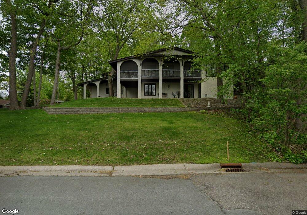
360 Maple Island Rd Burnsville, MN 55306
Estimated Value: $561,127 - $619,000
4
Beds
3
Baths
3,702
Sq Ft
$158/Sq Ft
Est. Value
About This Home
This home is located at 360 Maple Island Rd, Burnsville, MN 55306 and is currently estimated at $583,782, approximately $157 per square foot. 360 Maple Island Rd is a home located in Dakota County with nearby schools including Oak Hills Elementary School, Kenwood Trail Middle School, and Lakeville North High School.
Ownership History
Date
Name
Owned For
Owner Type
Purchase Details
Closed on
Sep 26, 2022
Sold by
Rondou Robert and Rondou Linda
Bought by
Collins David and Collins Nicole
Current Estimated Value
Home Financials for this Owner
Home Financials are based on the most recent Mortgage that was taken out on this home.
Original Mortgage
$360,000
Outstanding Balance
$344,338
Interest Rate
5.22%
Mortgage Type
New Conventional
Estimated Equity
$239,444
Create a Home Valuation Report for This Property
The Home Valuation Report is an in-depth analysis detailing your home's value as well as a comparison with similar homes in the area
Home Values in the Area
Average Home Value in this Area
Purchase History
| Date | Buyer | Sale Price | Title Company |
|---|---|---|---|
| Collins David | $450,000 | -- |
Source: Public Records
Mortgage History
| Date | Status | Borrower | Loan Amount |
|---|---|---|---|
| Open | Collins David | $360,000 |
Source: Public Records
Tax History Compared to Growth
Tax History
| Year | Tax Paid | Tax Assessment Tax Assessment Total Assessment is a certain percentage of the fair market value that is determined by local assessors to be the total taxable value of land and additions on the property. | Land | Improvement |
|---|---|---|---|---|
| 2024 | $7,100 | $558,100 | $113,900 | $444,200 |
| 2023 | $7,100 | $567,800 | $114,000 | $453,800 |
| 2022 | $6,464 | $595,100 | $132,600 | $462,500 |
| 2021 | $6,094 | $504,300 | $115,300 | $389,000 |
| 2020 | $6,226 | $467,200 | $109,800 | $357,400 |
| 2019 | $5,705 | $454,100 | $104,600 | $349,500 |
| 2018 | $5,213 | $428,100 | $99,600 | $328,500 |
| 2017 | $5,251 | $388,600 | $94,800 | $293,800 |
| 2016 | $5,583 | $382,100 | $90,300 | $291,800 |
| 2015 | $4,922 | $387,751 | $87,217 | $300,534 |
| 2014 | -- | $360,610 | $85,064 | $275,546 |
| 2013 | -- | $325,948 | $77,085 | $248,863 |
Source: Public Records
Map
Nearby Homes
- 313 Maple Island Rd
- 333 Maple Island Rd
- 101 Oak Shore Dr
- 16045 Oak Shore Dr
- 15250 Stevens Ave
- 9955 161st St W
- 16365 Javari Ct
- 10435 163rd St W
- 15505 Logarto Ln
- 1010 E 157th St
- 16344 Jatos Cir
- 16386 Jaffna Place
- 16357 Java Ln
- 15100 Eileen Cir
- 1012 Crystal Lake Rd E
- 16415 Jaffna Place
- 300 Butternut Ln
- 15020 Tyacke Dr
- 712 E 151st St
- 594 Stonewood Ln
- 366 Maple Island Rd
- 370 Maple Island Rd
- 361 Maple Island Rd
- 359 Maple Island Rd
- 355 Maple Island Rd
- 351 Maple Island Rd
- 350 Maple Island Rd
- 357 Maple Island Rd
- 349 Maple Island Rd
- 365 Maple Island Rd
- 373 Maple Island Rd
- 371 Maple Island Rd
- 348 Maple Island Rd
- 375 Maple Island Rd
- 369 Maple Island Rd
- 347 Maple Island Rd
- 377 Maple Island Rd
- 367 Maple Island Rd
- 346 Maple Island Rd
- 378 Maple Island Rd