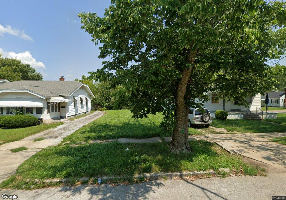
360 S 19th St Decatur, IL 62521
Lions Park NeighborhoodEstimated Value: $32,234 - $76,000
--
Bed
--
Bath
--
Sq Ft
3,920
Sq Ft Lot
About This Home
This home is located at 360 S 19th St, Decatur, IL 62521 and is currently estimated at $48,559. 360 S 19th St is a home located in Macon County with nearby schools including Muffley Elementary School, Stephen Decatur Middle School, and Robertson Charter School.
Ownership History
Date
Name
Owned For
Owner Type
Purchase Details
Closed on
Mar 9, 2011
Sold by
Beavers Thomas M
Bought by
Pierce Holdings Llc
Current Estimated Value
Purchase Details
Closed on
Aug 9, 2007
Sold by
Drewer Paul N and Drewer Melinda S
Bought by
Mabon William T and Mabon Cozzetta
Purchase Details
Closed on
Apr 1, 2002
Sold by
Mcnett Robert G and Mcnett Lola J
Bought by
Garrett Randall P and Garrett Starla A
Purchase Details
Closed on
May 1, 1996
Create a Home Valuation Report for This Property
The Home Valuation Report is an in-depth analysis detailing your home's value as well as a comparison with similar homes in the area
Home Values in the Area
Average Home Value in this Area
Purchase History
| Date | Buyer | Sale Price | Title Company |
|---|---|---|---|
| Pierce Holdings Llc | $13,500 | None Available | |
| Mabon William T | $45,000 | None Available | |
| Garrett Randall P | $21,000 | None Available | |
| -- | $26,000 | -- |
Source: Public Records
Tax History Compared to Growth
Tax History
| Year | Tax Paid | Tax Assessment Tax Assessment Total Assessment is a certain percentage of the fair market value that is determined by local assessors to be the total taxable value of land and additions on the property. | Land | Improvement |
|---|---|---|---|---|
| 2024 | $131 | $1,354 | $1,354 | $0 |
| 2023 | $130 | $1,306 | $1,306 | $0 |
| 2022 | $624 | $6,101 | $1,209 | $4,892 |
| 2021 | $980 | $9,523 | $1,129 | $8,394 |
| 2020 | $966 | $9,080 | $1,076 | $8,004 |
| 2019 | $966 | $9,080 | $1,076 | $8,004 |
| 2018 | $760 | $7,230 | $1,192 | $6,038 |
| 2017 | $778 | $7,423 | $1,224 | $6,199 |
| 2016 | $792 | $7,498 | $1,236 | $6,262 |
| 2015 | $753 | $7,365 | $1,214 | $6,151 |
| 2014 | $699 | $7,292 | $1,202 | $6,090 |
| 2013 | $722 | $7,566 | $1,247 | $6,319 |
Source: Public Records
Map
Nearby Homes
- 1764 E Johns Ave
- 245 S 20th St
- 1753 E Clay St
- 2152 E Decatur St
- 2111 E Wood St
- 1645 E Wood St
- 1656 E Wood St
- 2039 E Whitmer St
- 1605 E Clay St
- 632 S 17th St
- 2104 E Whitmer St
- 1850 E Prairie St
- 729 S 22nd St
- 1644 E William St
- 340 N 17th St
- 1329 E Main St
- 425 N 18th St
- 1232 E Johns Ave
- 1525 E North St
- 111 S 24th+520 E Division+870 N Union St