360 Woody Dr Timberlake, NC 27583
Estimated Value: $269,000 - $417,000
3
Beds
2
Baths
1,680
Sq Ft
$210/Sq Ft
Est. Value
About This Home
This home is located at 360 Woody Dr, Timberlake, NC 27583 and is currently estimated at $353,625, approximately $210 per square foot. 360 Woody Dr is a home located in Person County with nearby schools including Person High School.
Ownership History
Date
Name
Owned For
Owner Type
Purchase Details
Closed on
May 11, 2021
Sold by
Franklin Charles B and Franklin Heather Mccullough
Bought by
Franklin Charles B and Franklin Heather Mccullough
Current Estimated Value
Home Financials for this Owner
Home Financials are based on the most recent Mortgage that was taken out on this home.
Original Mortgage
$139,900
Outstanding Balance
$105,917
Interest Rate
3.1%
Mortgage Type
New Conventional
Estimated Equity
$247,708
Purchase Details
Closed on
Sep 26, 2014
Sold by
Lagrone Patricia I and Lagrone Luther E
Bought by
Franklin Charles Bryant and Mccullough Heather Lynn
Home Financials for this Owner
Home Financials are based on the most recent Mortgage that was taken out on this home.
Original Mortgage
$166,870
Interest Rate
4.17%
Mortgage Type
New Conventional
Create a Home Valuation Report for This Property
The Home Valuation Report is an in-depth analysis detailing your home's value as well as a comparison with similar homes in the area
Home Values in the Area
Average Home Value in this Area
Purchase History
| Date | Buyer | Sale Price | Title Company |
|---|---|---|---|
| Franklin Charles B | -- | None Available | |
| Franklin Charles Bryant | $180,000 | None Available |
Source: Public Records
Mortgage History
| Date | Status | Borrower | Loan Amount |
|---|---|---|---|
| Open | Franklin Charles B | $139,900 | |
| Closed | Franklin Charles Bryant | $166,870 |
Source: Public Records
Tax History Compared to Growth
Tax History
| Year | Tax Paid | Tax Assessment Tax Assessment Total Assessment is a certain percentage of the fair market value that is determined by local assessors to be the total taxable value of land and additions on the property. | Land | Improvement |
|---|---|---|---|---|
| 2025 | $1,845 | $272,065 | $0 | $0 |
| 2024 | $1,491 | $189,998 | $0 | $0 |
| 2023 | $1,491 | $189,998 | $0 | $0 |
| 2022 | $1,487 | $189,998 | $0 | $0 |
| 2021 | $1,445 | $189,998 | $0 | $0 |
| 2020 | $1,287 | $168,889 | $0 | $0 |
| 2019 | $1,305 | $168,889 | $0 | $0 |
| 2018 | $1,215 | $168,889 | $0 | $0 |
| 2017 | $1,198 | $168,890 | $0 | $0 |
| 2016 | $1,198 | $168,890 | $0 | $0 |
| 2015 | $1,198 | $168,890 | $0 | $0 |
| 2014 | $1,183 | $166,679 | $0 | $0 |
Source: Public Records
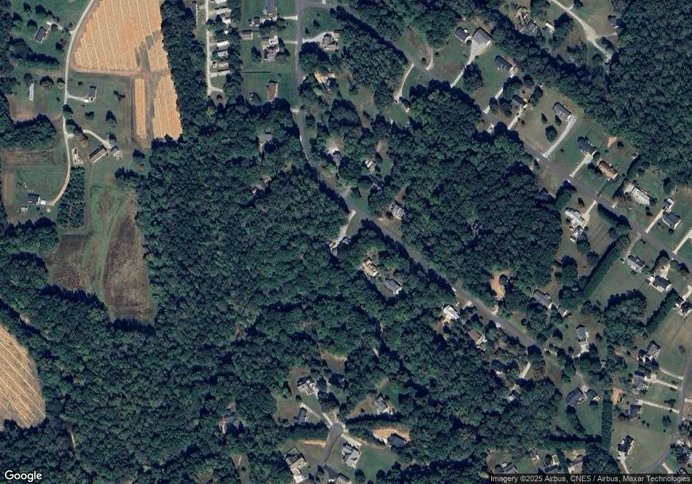
Map
Nearby Homes
- 175 Ann Dr
- 374 Ann Dr
- 175 Cardens Cove Rd
- 297 Fork Junction Rd
- 61 Fork Junction Rd
- Lots 9a/9b Woody Dr
- 30 Shannon Ct
- 1415 Chambers Rd
- 475 Jim Moore Rd
- Lot 21 Shannon Ct
- 8580 Durham Rd
- 714 Dick Holeman Rd
- 109 Equestrian Chase
- 284 Derwin Dr
- 236 Derwin Dr
- Lot 3 Helena Moriah Rd
- Lot 2 Helena Moriah Rd
- 512 Bacon Rd
- Lot 42 Oak Knob Ct
- 13011 N Roxboro St