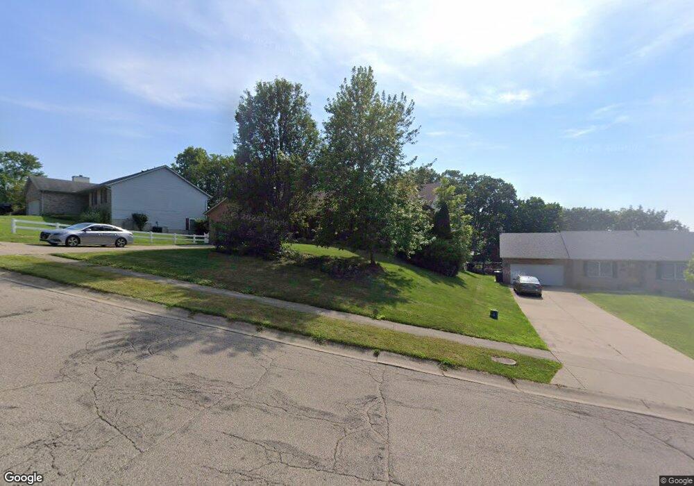
361 N Gebhart Church Rd Miamisburg, OH 45342
Estimated Value: $296,000 - $329,000
3
Beds
2
Baths
2,105
Sq Ft
$148/Sq Ft
Est. Value
About This Home
This home is located at 361 N Gebhart Church Rd, Miamisburg, OH 45342 and is currently estimated at $311,987, approximately $148 per square foot. 361 N Gebhart Church Rd is a home located in Montgomery County with nearby schools including Miamisburg High School and Bethel Baptist School.
Ownership History
Date
Name
Owned For
Owner Type
Purchase Details
Closed on
Jun 22, 2002
Sold by
Smith Diane R
Bought by
Smith Scott William
Current Estimated Value
Purchase Details
Closed on
Dec 18, 1998
Sold by
Cope David B
Bought by
Smith Scott William and Smith Diane R
Purchase Details
Closed on
Feb 27, 1998
Sold by
Cope Wanda J
Bought by
Cope David C
Home Financials for this Owner
Home Financials are based on the most recent Mortgage that was taken out on this home.
Original Mortgage
$123,300
Interest Rate
8.25%
Purchase Details
Closed on
Mar 28, 1996
Sold by
John L Burneson Inc
Bought by
Cope Wanda J
Create a Home Valuation Report for This Property
The Home Valuation Report is an in-depth analysis detailing your home's value as well as a comparison with similar homes in the area
Home Values in the Area
Average Home Value in this Area
Purchase History
| Date | Buyer | Sale Price | Title Company |
|---|---|---|---|
| Smith Scott William | -- | -- | |
| Smith Scott William | $159,900 | Midwest Abstract Company | |
| Smith Scott William | $159,900 | Midwest Abstract Company | |
| Cope David C | -- | -- | |
| Cope David C | -- | -- | |
| Cope Wanda J | -- | -- |
Source: Public Records
Mortgage History
| Date | Status | Borrower | Loan Amount |
|---|---|---|---|
| Previous Owner | Cope David C | $123,300 |
Source: Public Records
Tax History Compared to Growth
Tax History
| Year | Tax Paid | Tax Assessment Tax Assessment Total Assessment is a certain percentage of the fair market value that is determined by local assessors to be the total taxable value of land and additions on the property. | Land | Improvement |
|---|---|---|---|---|
| 2024 | $4,774 | $75,190 | $16,000 | $59,190 |
| 2023 | $4,774 | $75,190 | $16,000 | $59,190 |
| 2022 | $4,720 | $62,660 | $13,340 | $49,320 |
| 2021 | $4,065 | $61,050 | $13,340 | $47,710 |
| 2020 | $4,055 | $61,050 | $13,340 | $47,710 |
| 2019 | $4,418 | $61,050 | $13,340 | $47,710 |
| 2018 | $4,246 | $58,540 | $13,340 | $45,200 |
| 2017 | $4,402 | $61,050 | $13,340 | $47,710 |
| 2016 | $4,053 | $54,160 | $13,340 | $40,820 |
| 2015 | $3,933 | $54,160 | $13,340 | $40,820 |
| 2014 | $3,933 | $53,600 | $13,340 | $40,260 |
| 2012 | -- | $53,070 | $13,300 | $39,770 |
Source: Public Records
Map
Nearby Homes
- 524 N Lindsey Ave
- 2061 Pine Forest Dr
- 700 N Gebhart Church Rd
- 516 N Lindsey Ave
- 514 N Lindsey Ave
- 703 Friar Tuck Ct
- 2302 King Richard Pkwy
- 838 Maid Marion Ct
- 2090 E Central Ave
- 1678 Carolyn Dr
- 1642 Carolyn Dr
- 857 Lea Castle Place
- 1660 E Central Ave
- 1803 Cudgell Dr
- 2125 Sherwood Forest Dr
- 302 Trails Way Unit 27unb
- 1901 Whispering Tree Dr Unit 34701
- 1902 Whispering Tree Dr Unit B
- 1907 Falling Leaf Ln Unit 35801TH
- 609 Kings Cross Ct
- 353 N Gebhart Church Rd
- 371 N Gebhart Church Rd
- 339 N Gebhart Church Rd
- 381 N Gebhart Church Rd
- 354 N Gebhart Church Rd
- 384 N Gebhart Church Rd
- 701 Nottingham Place
- 728 N Lindsey Ave
- 344 N Gebhart Church Rd
- 340 N Gebhart Church Rd
- 724 N Lindsey Ave
- 324 N Gebhart Church Rd
- 703 Nottingham Place
- 539 Royal Arms Ct
- 718 N Lindsey Ave
- 702 Nottingham Place
- 736 N Lindsey Ave
- 714 N Lindsey Ave
- 682 N Gebhart Church Rd
- 309 N Gebhart Church Rd