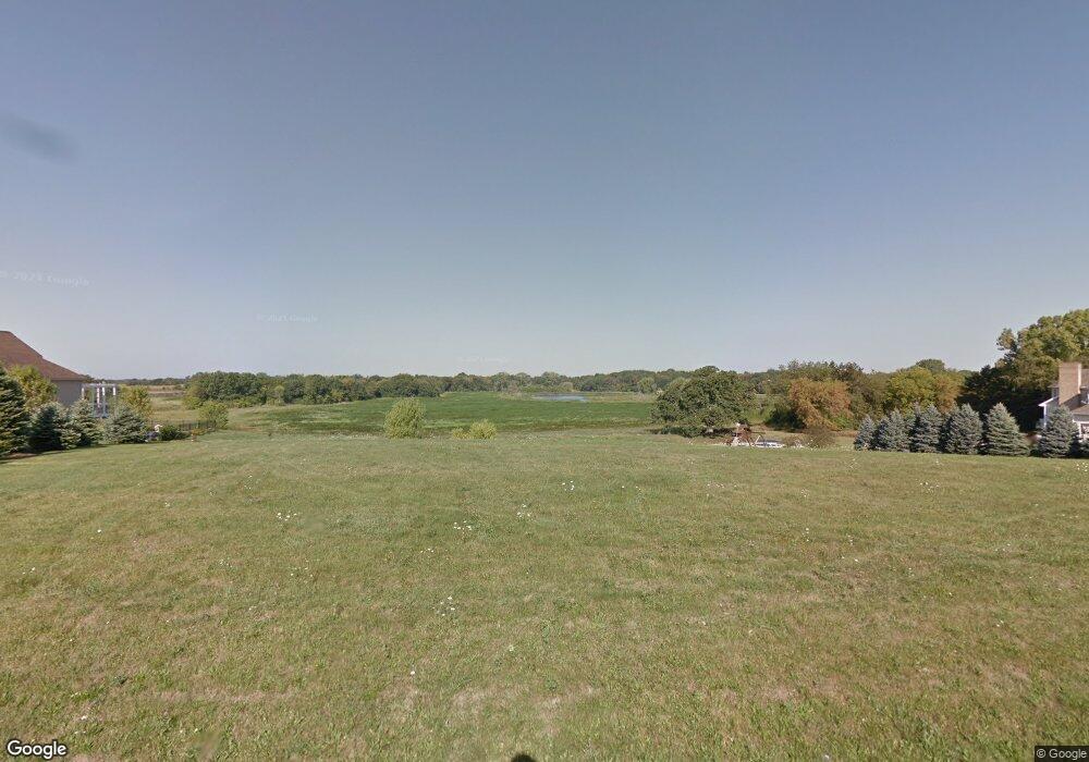
3611 Beresford Dr Woodstock, IL 60098
Estimated Value: $545,000 - $763,000
3
Beds
3
Baths
2,840
Sq Ft
$231/Sq Ft
Est. Value
About This Home
This home is located at 3611 Beresford Dr, Woodstock, IL 60098 and is currently estimated at $656,633, approximately $231 per square foot. 3611 Beresford Dr is a home located in McHenry County with nearby schools including West Elementary School, Richard F Bernotas Middle School, and Prairie Ridge High School.
Ownership History
Date
Name
Owned For
Owner Type
Purchase Details
Closed on
Apr 8, 2015
Sold by
Jesukaitis Stephen and Jesukaitis Kathleen
Bought by
Schneider Mark and Schneider Kimberly
Current Estimated Value
Purchase Details
Closed on
Sep 3, 1998
Sold by
First Midwest Trust Company Natl Assn
Bought by
Jesukaitis Stephen and Jesukaitis Kathleen
Home Financials for this Owner
Home Financials are based on the most recent Mortgage that was taken out on this home.
Original Mortgage
$56,250
Interest Rate
6.99%
Create a Home Valuation Report for This Property
The Home Valuation Report is an in-depth analysis detailing your home's value as well as a comparison with similar homes in the area
Home Values in the Area
Average Home Value in this Area
Purchase History
| Date | Buyer | Sale Price | Title Company |
|---|---|---|---|
| Schneider Mark | $64,900 | Heritage Title Company | |
| Jesukaitis Stephen | $75,000 | Norhtern Land Title Corp |
Source: Public Records
Mortgage History
| Date | Status | Borrower | Loan Amount |
|---|---|---|---|
| Previous Owner | Jesukaitis Stephen | $56,250 |
Source: Public Records
Tax History Compared to Growth
Tax History
| Year | Tax Paid | Tax Assessment Tax Assessment Total Assessment is a certain percentage of the fair market value that is determined by local assessors to be the total taxable value of land and additions on the property. | Land | Improvement |
|---|---|---|---|---|
| 2024 | $13,318 | $178,180 | $32,463 | $145,717 |
| 2023 | $12,992 | $161,132 | $29,357 | $131,775 |
| 2022 | $12,822 | $153,274 | $26,053 | $127,221 |
| 2021 | $12,144 | $143,207 | $24,342 | $118,865 |
| 2020 | $12,294 | $136,077 | $23,130 | $112,947 |
| 2019 | $11,918 | $129,894 | $22,079 | $107,815 |
| 2018 | $2,328 | $25,186 | $25,186 | $0 |
| 2017 | $2,318 | $23,704 | $23,704 | $0 |
| 2016 | $2,255 | $21,948 | $21,948 | $0 |
| 2013 | -- | $21,206 | $21,206 | $0 |
Source: Public Records
Map
Nearby Homes
- 3317 S Country Club Rd
- 8210 Austin Trail
- 8205 Austin Trail
- 8201 Austin Trail
- 8106 Austin Trail
- 9221 Dirkshire Dr
- 8612 Crystal Springs Rd
- Lot 1 Crystal Springs Rd
- 4213 Ravine Dr
- 2417 Fairview Cir
- 0 Mason Hill Rd
- 1907 Cherry Valley Rd
- Lt 2 Mason Hill Rd
- 7001 Foxfire Dr
- 8914 Mason Hill Rd
- Lot #42 E Longwood Dr
- Lot #78 E Longwood Dr
- Lot #49 E Longwood Dr
- Lot #50 E Longwood Dr
- Lot #45 E Longwood Dr
- 3619 Beresford Dr
- 3703 Beresford Dr
- 8620 Castleberry Dr
- 3618 Beresford Dr
- 3601 Beresford Dr
- 3704 Beresford Dr
- 8614 Castleberry Dr
- 8611 Castleberry Dr
- 8608 Castleberry Dr
- 8603 Castleberry Dr
- 3515 S Country Club Rd
- 3417 S Country Club Rd
- 3606 S Country Club Rd
- 8514 Castleberry Dr
- 3407 S Country Club Rd
- 3504 S Country Club Rd
- 8513 Castleberry Dr
- 8508 Castleberry Dr
- 8507 Castleberry Dr
- 3326 Bluejay Ln
