36115 Flag Rd Lanesboro, MN 55949
Estimated Value: $791,000 - $1,138,228
2
Beds
1
Bath
1,632
Sq Ft
$591/Sq Ft
Est. Value
About This Home
This home is located at 36115 Flag Rd, Lanesboro, MN 55949 and is currently estimated at $964,614, approximately $591 per square foot. 36115 Flag Rd is a home with nearby schools including Rushford-Peterson Elementary School, Rushford-Peterson Middle School, and Rushford-Peterson Senior High School.
Ownership History
Date
Name
Owned For
Owner Type
Purchase Details
Closed on
Jul 15, 2016
Sold by
Jensen Madeline I
Bought by
Bates Hilary Alan
Current Estimated Value
Purchase Details
Closed on
May 23, 2008
Sold by
Jensen Madeline I
Bought by
Finley Jesse J and Finley Katie N
Home Financials for this Owner
Home Financials are based on the most recent Mortgage that was taken out on this home.
Original Mortgage
$82,000
Interest Rate
6.01%
Mortgage Type
Purchase Money Mortgage
Create a Home Valuation Report for This Property
The Home Valuation Report is an in-depth analysis detailing your home's value as well as a comparison with similar homes in the area
Home Values in the Area
Average Home Value in this Area
Purchase History
| Date | Buyer | Sale Price | Title Company |
|---|---|---|---|
| Bates Hilary Alan | -- | Rochester Title & Escrow | |
| Finley Jesse J | $82,000 | None Available |
Source: Public Records
Mortgage History
| Date | Status | Borrower | Loan Amount |
|---|---|---|---|
| Previous Owner | Finley Jesse J | $82,000 |
Source: Public Records
Tax History Compared to Growth
Tax History
| Year | Tax Paid | Tax Assessment Tax Assessment Total Assessment is a certain percentage of the fair market value that is determined by local assessors to be the total taxable value of land and additions on the property. | Land | Improvement |
|---|---|---|---|---|
| 2025 | $5,134 | $1,096,700 | $290,000 | $806,700 |
| 2024 | $5,134 | $419,400 | $207,600 | $211,800 |
| 2023 | $2,754 | $419,400 | $207,600 | $211,800 |
| 2022 | $2,754 | $362,100 | $180,600 | $181,500 |
| 2021 | $2,754 | $362,100 | $180,600 | $181,500 |
| 2020 | $864 | $362,100 | $180,600 | $181,500 |
| 2019 | $914 | $137,400 | $137,400 | $0 |
| 2018 | -- | $137,400 | $137,400 | $0 |
| 2017 | -- | $137,400 | $137,400 | $0 |
| 2016 | $896 | $101,500 | $101,500 | $0 |
| 2015 | $676 | $123,700 | $123,700 | $0 |
| 2014 | $676 | $119,100 | $119,100 | $0 |
| 2013 | $676 | $116,300 | $116,300 | $0 |
Source: Public Records
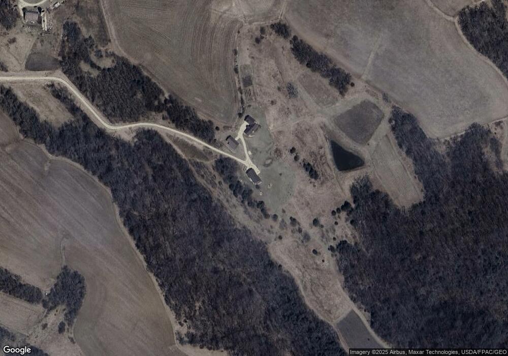
Map
Nearby Homes
- 34869 Fawn Dr
- 34760 Fawn Dr
- Tbd State Highway 16
- 208 Elmwood St E
- 206 Elmwood St E
- 402 Hillcrest St E
- 105 Parkway Ave N
- 407 Johnson Dr
- 201 Ridgeview Ln S Unit 204
- 301 Kirkwood St E
- TBD State 16
- 708 Parkway Ave S
- 709 Rochelle Ave S
- 300 Whittier St W
- 120 W Jessie St
- 8 Lots - 1 Price Briella Ave
- 302 N Mill St
- 203 S Maple St
- 503 E Rushford Ave
- TBD River St
- XXXX County 105 Rd
- TBD County 105 Rd
- 000 County Rd 105
- 36105 Flag Rd
- 30970 County 105
- 36445 Doe Rd
- 36381 Doe Rd
- 36381 36381 Doe-Road-
- 31089 Cty 105
- TBD Cty 105
- 31089 County 105
- 31358 County 105
- 31358 County 105
- 36745 Doe Rd
- 31500 Furrow Rd
- 36692 Doe Rd
- 30424 County 105
- xxx Cty 105
- 36244 Doe Rd
- 31285 Furrow Rd