3612 Ringgold Trail San Antonio, TX 78253
Alamo Ranch NeighborhoodEstimated Value: $385,000 - $410,000
2
Beds
2
Baths
1,855
Sq Ft
$215/Sq Ft
Est. Value
About This Home
This home is located at 3612 Ringgold Trail, San Antonio, TX 78253 and is currently estimated at $399,725, approximately $215 per square foot. 3612 Ringgold Trail is a home located in Bexar County with nearby schools including Cole Elementary School, Briscoe Middle School, and Taft High School.
Ownership History
Date
Name
Owned For
Owner Type
Purchase Details
Closed on
Feb 14, 2019
Sold by
Sprouse Delbert W
Bought by
Sprouse Patricia A
Current Estimated Value
Purchase Details
Closed on
Jun 26, 2017
Sold by
Pulte Homes Of Texas Lp
Bought by
Sprouse Delbert and Sproue Patricia Ann
Home Financials for this Owner
Home Financials are based on the most recent Mortgage that was taken out on this home.
Original Mortgage
$306,801
Outstanding Balance
$256,013
Interest Rate
4.05%
Mortgage Type
VA
Estimated Equity
$143,712
Create a Home Valuation Report for This Property
The Home Valuation Report is an in-depth analysis detailing your home's value as well as a comparison with similar homes in the area
Home Values in the Area
Average Home Value in this Area
Purchase History
| Date | Buyer | Sale Price | Title Company |
|---|---|---|---|
| Sprouse Patricia A | -- | None Available | |
| Sprouse Delbert | -- | None Available |
Source: Public Records
Mortgage History
| Date | Status | Borrower | Loan Amount |
|---|---|---|---|
| Open | Sprouse Delbert | $306,801 |
Source: Public Records
Tax History Compared to Growth
Tax History
| Year | Tax Paid | Tax Assessment Tax Assessment Total Assessment is a certain percentage of the fair market value that is determined by local assessors to be the total taxable value of land and additions on the property. | Land | Improvement |
|---|---|---|---|---|
| 2025 | $1,934 | $412,670 | $96,400 | $316,270 |
| 2024 | $1,934 | $416,040 | $96,400 | $319,640 |
| 2023 | $1,934 | $386,450 | $96,400 | $323,000 |
| 2022 | $7,102 | $351,318 | $80,340 | $309,950 |
| 2021 | $6,713 | $319,380 | $74,590 | $244,790 |
| 2020 | $6,715 | $312,230 | $74,590 | $237,640 |
| 2019 | $6,785 | $305,550 | $65,810 | $239,740 |
| 2018 | $6,444 | $289,990 | $65,810 | $224,180 |
| 2017 | $4,787 | $214,940 | $55,000 | $159,940 |
Source: Public Records
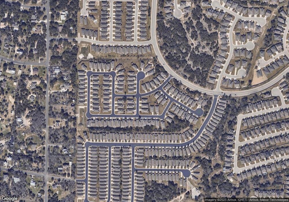
Map
Nearby Homes
- 3603 Daisy Spring
- 3614 Denison Dam
- 3733 Tulip Dam
- 13009 Cache Creek
- 3354 Blossom Row
- 13227 Cache Creek
- 12814 Hollowing Lake
- 3430 Red Falls Rd
- 13058 Salt Fork
- 12813 Hollowing Lake
- 3534 Grant Rapids
- 3918 Zion Creek
- 12808 Tower Bridge
- 3505 Grant Rapids
- 12811 Azalea Crossing
- 12829 Sandy White
- 13023 Gsl Dr
- 4223 Fiesta Way
- 4303 Nimbus Summit
- 3925 Claret Cup
- 3608 Ringgold Trail
- 13023 River Station
- 3713 Denison Dam
- 3604 Ringgold Trail
- 13023 Colbert Ferry
- 3709 Denison Dam
- 13017 River Station
- 13019 Colbert Ferry
- 13017 River Station
- 3611 Ringgold Trail
- 3705 Denison Dam
- 13015 Colbert Ferry
- 3703 Ringgold Trail
- 3603 Ringgold Trail
- 3707 Ringgold Trail
- 13011 Colbert Ferry
- 13030 River Station
- 13026 River Station
- 3711 Ringgold Trail
- 13034 River Station