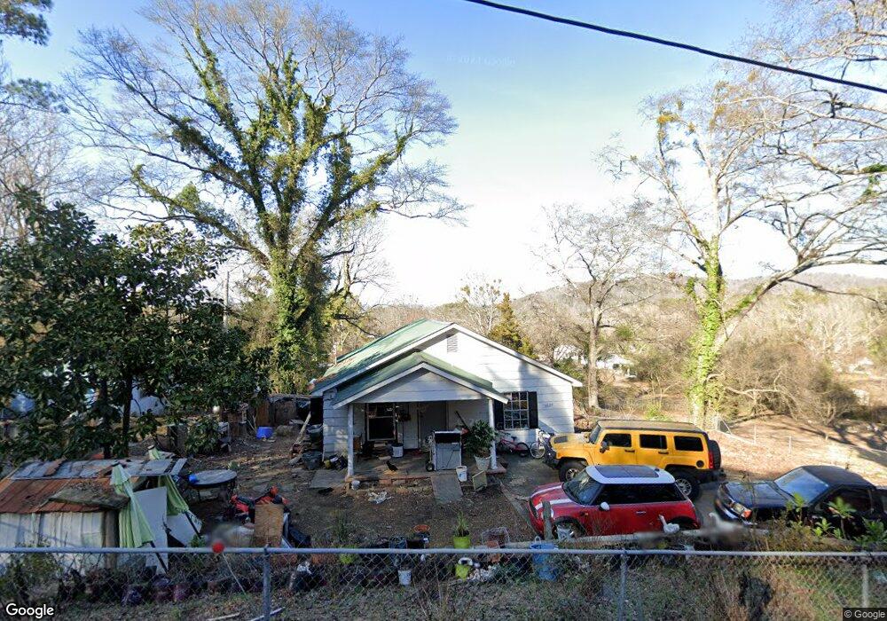
3620 Pearson Cir Guntersville, AL 35976
Estimated Value: $75,000 - $189,000
--
Bed
1
Bath
896
Sq Ft
$141/Sq Ft
Est. Value
About This Home
This home is located at 3620 Pearson Cir, Guntersville, AL 35976 and is currently estimated at $126,221, approximately $140 per square foot. 3620 Pearson Cir is a home located in Marshall County with nearby schools including Guntersville Elementary School, Cherokee Elementary School, and Guntersville Middle School.
Ownership History
Date
Name
Owned For
Owner Type
Purchase Details
Closed on
Feb 13, 2025
Sold by
Childress Dotson Angela
Bought by
Felipe Francisco Manuel
Current Estimated Value
Purchase Details
Closed on
Dec 15, 2006
Sold by
Wynn William T and Wynn Lucinda F
Bought by
Wynnwood Properties Llc
Home Financials for this Owner
Home Financials are based on the most recent Mortgage that was taken out on this home.
Original Mortgage
$23,404
Interest Rate
6.19%
Mortgage Type
New Conventional
Create a Home Valuation Report for This Property
The Home Valuation Report is an in-depth analysis detailing your home's value as well as a comparison with similar homes in the area
Home Values in the Area
Average Home Value in this Area
Purchase History
| Date | Buyer | Sale Price | Title Company |
|---|---|---|---|
| Felipe Francisco Manuel | -- | None Listed On Document | |
| Felipe Francisco Manuel | -- | None Listed On Document | |
| Wynnwood Properties Llc | -- | None Available |
Source: Public Records
Mortgage History
| Date | Status | Borrower | Loan Amount |
|---|---|---|---|
| Previous Owner | Wynnwood Properties Llc | $23,404 |
Source: Public Records
Tax History Compared to Growth
Tax History
| Year | Tax Paid | Tax Assessment Tax Assessment Total Assessment is a certain percentage of the fair market value that is determined by local assessors to be the total taxable value of land and additions on the property. | Land | Improvement |
|---|---|---|---|---|
| 2024 | $599 | $13,020 | $0 | $0 |
| 2023 | $560 | $11,120 | $580 | $10,540 |
| 2022 | $478 | $11,120 | $0 | $0 |
| 2021 | $478 | $11,120 | $0 | $0 |
| 2020 | $400 | $9,300 | $0 | $0 |
| 2017 | $437 | $9,380 | $0 | $0 |
| 2015 | -- | $9,240 | $0 | $0 |
| 2014 | -- | $9,240 | $0 | $0 |
Source: Public Records
Map
Nearby Homes
- Lot 4 Smith St
- 3708 Perry St
- 1504 Mccoy St
- 0.30 Mccoy St
- 4125 Hide Away Dr
- 4157 Hide Away Dr
- 5902 Wyeth Mountain Rd
- Lot 3 Wyeth Mountain Rd
- Lot 1 Wyeth Mountain Rd
- Lot 2 Wyeth Mountain Rd
- 4432 Leaning Beach Dr
- 838 Spur Track Ln
- .84 acres A U S 431
- 20138 U S 431
- .84 acres U S 431
- 12261 U S 431
- .48 ACRES Blount Ave
- lot 91 and 92 Wyeth Dr
- 810 Blount Ave
- 5477 Wyeth Mountain Rd