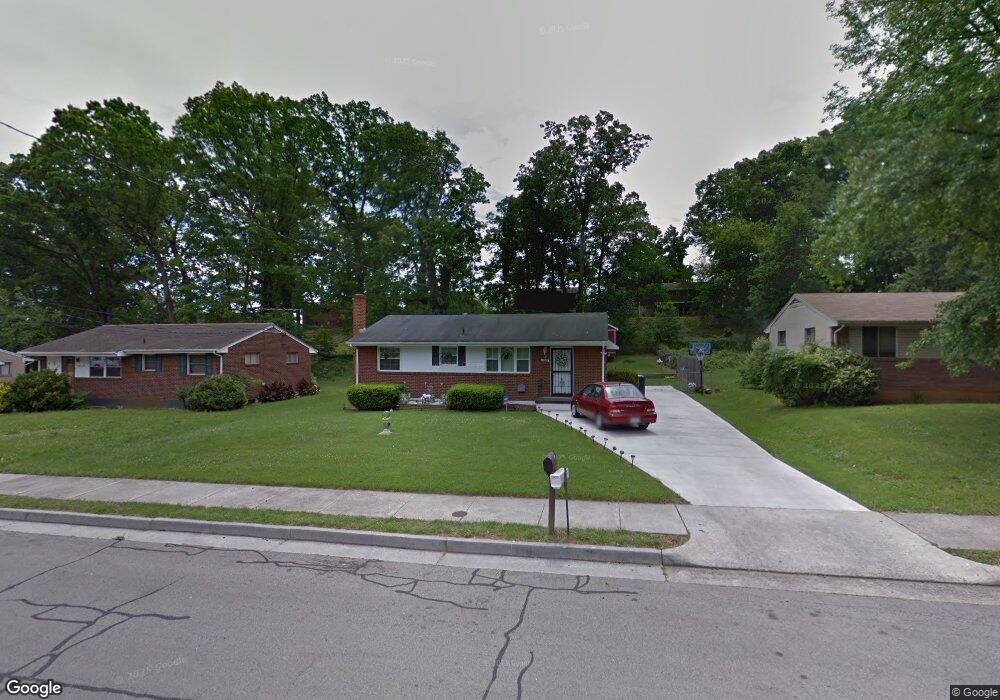
3622 Troutland Ave NW Roanoke, VA 24017
Wilmont NeighborhoodEstimated Value: $179,000 - $191,748
3
Beds
2
Baths
983
Sq Ft
$189/Sq Ft
Est. Value
About This Home
This home is located at 3622 Troutland Ave NW, Roanoke, VA 24017 and is currently estimated at $185,437, approximately $188 per square foot. 3622 Troutland Ave NW is a home located in Roanoke City with nearby schools including Fairview Elementary School, Woodrow Wilson Middle School, and Patrick Henry High School.
Ownership History
Date
Name
Owned For
Owner Type
Purchase Details
Closed on
Jul 3, 2007
Sold by
Armstrong Eugene and Armstrong Carolyn
Bought by
Smith Barbara Jene
Current Estimated Value
Home Financials for this Owner
Home Financials are based on the most recent Mortgage that was taken out on this home.
Original Mortgage
$70,000
Outstanding Balance
$43,707
Interest Rate
6.48%
Mortgage Type
New Conventional
Estimated Equity
$141,730
Create a Home Valuation Report for This Property
The Home Valuation Report is an in-depth analysis detailing your home's value as well as a comparison with similar homes in the area
Home Values in the Area
Average Home Value in this Area
Purchase History
| Date | Buyer | Sale Price | Title Company |
|---|---|---|---|
| Smith Barbara Jene | $100,000 | Lawyers Title |
Source: Public Records
Mortgage History
| Date | Status | Borrower | Loan Amount |
|---|---|---|---|
| Open | Smith Barbara Jene | $70,000 |
Source: Public Records
Tax History Compared to Growth
Tax History
| Year | Tax Paid | Tax Assessment Tax Assessment Total Assessment is a certain percentage of the fair market value that is determined by local assessors to be the total taxable value of land and additions on the property. | Land | Improvement |
|---|---|---|---|---|
| 2025 | $2,224 | $164,800 | $35,500 | $129,300 |
| 2024 | $2,224 | $152,000 | $29,000 | $123,000 |
| 2023 | $2,061 | $128,700 | $23,000 | $105,700 |
| 2022 | $1,556 | $112,400 | $23,000 | $89,400 |
| 2021 | $1,211 | $99,300 | $20,500 | $78,800 |
| 2020 | $1,287 | $92,300 | $18,700 | $73,600 |
| 2019 | $1,270 | $90,900 | $18,700 | $72,200 |
| 2018 | $1,230 | $88,500 | $18,700 | $69,800 |
| 2017 | $1,084 | $84,400 | $18,700 | $65,700 |
| 2016 | $1,061 | $82,500 | $18,700 | $63,800 |
| 2015 | $1,046 | $82,500 | $18,700 | $63,800 |
| 2014 | $1,046 | $83,300 | $18,700 | $64,600 |
Source: Public Records
Map
Nearby Homes
- 549 36th St NW
- 640 36th St NW
- 3721 Long Meadow Ave NW
- 3728 Red Fox Dr NW
- 514 Westwood Blvd NW
- 539 Crowmoor St NW
- 3711 Signal Hill Ave NW
- 3731 Signal Hill Ave NW
- 3802 Panorama Ave NW
- 3907 Wilmont Ave NW
- 3404 Signal Hill Ave NW
- 3627 Lilac Ave NW
- 719 Westside Blvd NW
- 829 Westside Blvd NW
- 0 36th St NW
- 3828 Michigan Ave NW
- 3927 Michigan Ave NW
- 4010 Michigan Ave NW
- 618 Gladies St NW
- 801 31st St NW
- 3628 Troutland Ave NW
- 3618 Troutland Ave NW
- 3634 Troutland Ave NW
- 3612 Troutland Ave NW
- 3627 Wilmont Ave NW
- 3631 Wilmont Ave NW
- 3621 Wilmont Ave NW
- 3637 Wilmont Ave NW
- 3640 Troutland Ave NW
- 3615 Wilmont Ave NW
- 3608 Troutland Ave NW
- 3623 Troutland Ave NW
- 3617 Troutland Ave NW
- 3643 Wilmont Ave NW
- 3629 Troutland Ave NW
- 3611 Troutland Ave NW
- 3602 Troutland Ave NW
- 3648 Troutland Ave NW
- 3609 Wilmont Ave NW
- 3635 Troutland Ave NW