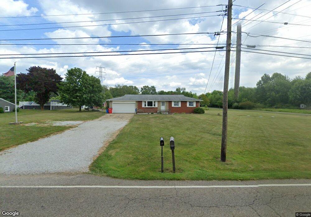
3630 Meese Rd Louisville, OH 44641
Estimated Value: $193,000 - $220,000
3
Beds
2
Baths
1,170
Sq Ft
$177/Sq Ft
Est. Value
About This Home
This home is located at 3630 Meese Rd, Louisville, OH 44641 and is currently estimated at $206,714, approximately $176 per square foot. 3630 Meese Rd is a home located in Stark County with nearby schools including Louisville High School and St. Thomas Aquinas High School & Middle School.
Ownership History
Date
Name
Owned For
Owner Type
Purchase Details
Closed on
Jun 7, 2002
Sold by
Mangus Kevin J and Mangus Janet L
Bought by
Ulrich Eric G and Ulrich Susan E
Current Estimated Value
Home Financials for this Owner
Home Financials are based on the most recent Mortgage that was taken out on this home.
Original Mortgage
$108,400
Outstanding Balance
$46,287
Interest Rate
6.95%
Mortgage Type
Purchase Money Mortgage
Estimated Equity
$160,427
Purchase Details
Closed on
Aug 20, 1992
Purchase Details
Closed on
May 3, 1991
Create a Home Valuation Report for This Property
The Home Valuation Report is an in-depth analysis detailing your home's value as well as a comparison with similar homes in the area
Home Values in the Area
Average Home Value in this Area
Purchase History
| Date | Buyer | Sale Price | Title Company |
|---|---|---|---|
| Ulrich Eric G | $111,800 | Quest Title Agency Inc | |
| -- | $75,900 | -- | |
| -- | -- | -- |
Source: Public Records
Mortgage History
| Date | Status | Borrower | Loan Amount |
|---|---|---|---|
| Open | Ulrich Eric G | $108,400 |
Source: Public Records
Tax History Compared to Growth
Tax History
| Year | Tax Paid | Tax Assessment Tax Assessment Total Assessment is a certain percentage of the fair market value that is determined by local assessors to be the total taxable value of land and additions on the property. | Land | Improvement |
|---|---|---|---|---|
| 2025 | -- | $60,450 | $15,750 | $44,700 |
| 2024 | -- | $60,450 | $15,750 | $44,700 |
| 2023 | $2,258 | $46,450 | $12,780 | $33,670 |
| 2022 | $2,264 | $46,450 | $12,780 | $33,670 |
| 2021 | $2,271 | $46,450 | $12,780 | $33,670 |
| 2020 | $1,916 | $41,410 | $11,520 | $29,890 |
| 2019 | $1,918 | $41,410 | $11,520 | $29,890 |
| 2018 | $1,918 | $41,410 | $11,520 | $29,890 |
| 2017 | $1,474 | $30,350 | $8,610 | $21,740 |
| 2016 | $1,441 | $30,350 | $8,610 | $21,740 |
| 2015 | $1,445 | $30,350 | $8,610 | $21,740 |
| 2014 | $1,453 | $28,250 | $8,020 | $20,230 |
| 2013 | $730 | $28,250 | $8,020 | $20,230 |
Source: Public Records
Map
Nearby Homes
- 3390 Meese Rd NE
- 2110 Edmar St
- 1812 E Broad St
- 1715 High St
- 908 Sand Lot Cir
- 8225 Georgetown St
- 641 S Nickelplate St
- 2015 E Main St
- 520 S Silver St
- 308 Superior St
- 728 E Broad St
- 0 Michigan Blvd
- 510 S Bauman Ct
- 204 E Broad St
- 1702 View Pointe Ave
- 107 E Broad St
- 1639 Horizon Dr
- 325 Lincoln Ave
- 1170 Winding Ridge Ave
- 1990 Belfort Ave
- 3614 Meese Rd
- 3640 Meese Rd
- 3663 Meese Rd
- 3633 Meese Rd
- 3594 Meese Rd
- 3699 Meese Rd
- 3699 Meese Rd NE
- 3628 Meese Rd
- 3565 Meese Rd
- 3725 Meese Rd
- 3725 Meese Rd NE
- 3566 Meese Rd
- 3628 Meese Rd NE
- 8835 Rue Helena St
- 3544 Meese Rd NE
- 3544 Meese Rd NE
- 8861 Rue Helena St
- 8861 Rue Helena St
- 8861 Rue Helena St
- 8861 Rue Helena St