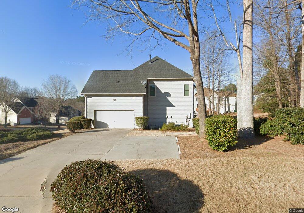
3630 River Edge Ct Decatur, GA 30034
Southwest DeKalb NeighborhoodEstimated Value: $367,044 - $482,000
4
Beds
3
Baths
3,810
Sq Ft
$109/Sq Ft
Est. Value
About This Home
This home is located at 3630 River Edge Ct, Decatur, GA 30034 and is currently estimated at $414,511, approximately $108 per square foot. 3630 River Edge Ct is a home located in DeKalb County with nearby schools including Bob Mathis Elementary School, Chapel Hill Middle School, and Southwest Dekalb High School.
Ownership History
Date
Name
Owned For
Owner Type
Purchase Details
Closed on
Oct 22, 1993
Sold by
Morrison Homes
Bought by
Lockhart Alfred D Vernita B
Current Estimated Value
Home Financials for this Owner
Home Financials are based on the most recent Mortgage that was taken out on this home.
Original Mortgage
$150,950
Interest Rate
7.07%
Create a Home Valuation Report for This Property
The Home Valuation Report is an in-depth analysis detailing your home's value as well as a comparison with similar homes in the area
Home Values in the Area
Average Home Value in this Area
Purchase History
| Date | Buyer | Sale Price | Title Company |
|---|---|---|---|
| Lockhart Alfred D Vernita B | $188,800 | -- |
Source: Public Records
Mortgage History
| Date | Status | Borrower | Loan Amount |
|---|---|---|---|
| Closed | Lockhart Alfred D Vernita B | $150,950 |
Source: Public Records
Tax History Compared to Growth
Tax History
| Year | Tax Paid | Tax Assessment Tax Assessment Total Assessment is a certain percentage of the fair market value that is determined by local assessors to be the total taxable value of land and additions on the property. | Land | Improvement |
|---|---|---|---|---|
| 2025 | $1,384 | $179,720 | $20,000 | $159,720 |
| 2024 | $1,527 | $108,720 | $9,200 | $99,520 |
| 2023 | $1,527 | $147,720 | $9,200 | $138,520 |
| 2022 | $4,459 | $142,120 | $9,200 | $132,920 |
| 2021 | $2,821 | $81,840 | $9,200 | $72,640 |
| 2020 | $2,187 | $63,280 | $9,200 | $54,080 |
| 2019 | $3,341 | $97,880 | $9,200 | $88,680 |
| 2018 | $1,254 | $84,760 | $9,200 | $75,560 |
| 2017 | $2,542 | $71,840 | $9,200 | $62,640 |
| 2016 | $3,018 | $87,440 | $9,200 | $78,240 |
| 2014 | $1,783 | $51,880 | $9,160 | $42,720 |
Source: Public Records
Map
Nearby Homes
- 3801 Cherry Ridge Blvd
- 3800 Cherry Ridge Blvd
- 3756 Harvest Dr
- 4084 Waldrop Hills Dr
- 3704 Harvest Dr
- 3702 Harvest Dr Unit 93
- 3700 Harvest Dr
- 3689 Harvest Dr
- 3826 Brandeis Way
- 3506 Waldrop Ridge Ln Unit 2
- 3683 Brown Dr
- Stratford Plan at Harvest Park
- Sudbury Plan at Harvest Park
- Salisbury Plan at Harvest Park
- 3608 Shepherds Path
- 3622 Shepherds Path Unit 3622
- 3512 Patti Pkwy
- 3616 Cherry Ridge Blvd
- 3526 Shepherds Path Unit 1
- 3515 Shepherds Path
- 3629 River Cliff Ct
- 3642 River Edge Ct
- 3637 River Cliff Ct
- 3588 River Edge Loop
- 3633 River Edge Ct
- 3625 River Edge Ct
- 0 River Cliff Ct Unit 7238562
- 3641 River Edge Ct
- 3643 River Cliff Ct
- 3596 River Edge Loop
- 3650 River Edge Ct
- 3617 River Edge Ct
- 3608 River Edge Ct
- 3649 River Edge Ct
- 3604 River Edge Loop
- 3646 River Cliff Ct
- 3609 River Edge Ct
- 3869 Cherry Ridge Blvd Unit 2
- 3861 Cherry Ridge Blvd
- 3809 Cherry Ridge Blvd