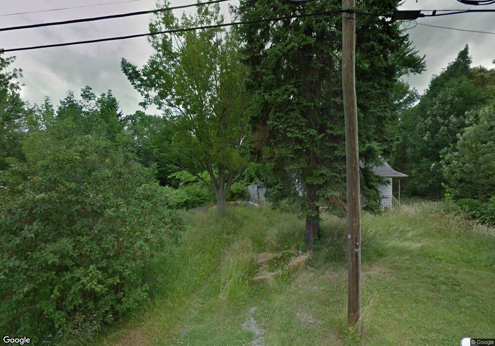
3638 Liberty Ave Hubbard, OH 44425
Estimated Value: $117,000 - $123,000
--
Bed
1
Bath
--
Sq Ft
0.42
Acres
About This Home
This home is located at 3638 Liberty Ave, Hubbard, OH 44425 and is currently estimated at $120,000. 3638 Liberty Ave is a home located in Trumbull County with nearby schools including Hubbard Elementary School, Hubbard Middle School, and Hubbard High School.
Ownership History
Date
Name
Owned For
Owner Type
Purchase Details
Closed on
Jan 5, 2023
Sold by
Gleydura Donna J
Bought by
Donna J Gleydura
Current Estimated Value
Home Financials for this Owner
Home Financials are based on the most recent Mortgage that was taken out on this home.
Interest Rate
6.48%
Purchase Details
Closed on
Jun 16, 2014
Sold by
Trumbull County Land Reutilization Corp
Bought by
Gleydura Joseph F and Gleydura Donna J
Purchase Details
Closed on
Feb 8, 2001
Sold by
Steele Norma L
Bought by
Steele William Edward
Purchase Details
Closed on
Jan 1, 1990
Bought by
Norma L Steele
Create a Home Valuation Report for This Property
The Home Valuation Report is an in-depth analysis detailing your home's value as well as a comparison with similar homes in the area
Home Values in the Area
Average Home Value in this Area
Purchase History
| Date | Buyer | Sale Price | Title Company |
|---|---|---|---|
| Donna J Gleydura | -- | -- | |
| Gleydura Joseph F | -- | None Available | |
| Steele William Edward | $10,000 | -- | |
| Norma L Steele | -- | -- |
Source: Public Records
Mortgage History
| Date | Status | Borrower | Loan Amount |
|---|---|---|---|
| Closed | Steele William Edward | -- |
Source: Public Records
Tax History Compared to Growth
Tax History
| Year | Tax Paid | Tax Assessment Tax Assessment Total Assessment is a certain percentage of the fair market value that is determined by local assessors to be the total taxable value of land and additions on the property. | Land | Improvement |
|---|---|---|---|---|
| 2024 | $178 | $2,630 | $2,630 | $0 |
| 2023 | $178 | $4,130 | $4,130 | $0 |
| 2022 | $295 | $4,130 | $4,130 | $0 |
| 2021 | $296 | $4,130 | $4,130 | $0 |
| 2020 | $297 | $4,130 | $4,130 | $0 |
| 2019 | $312 | $4,130 | $4,130 | $0 |
| 2018 | $304 | $4,130 | $4,130 | $0 |
| 2017 | $303 | $4,130 | $4,130 | $0 |
| 2016 | $94 | $1,050 | $1,050 | $0 |
| 2015 | $254 | $3,540 | $3,540 | $0 |
| 2014 | $249 | $3,540 | $3,540 | $0 |
| 2013 | $275 | $3,540 | $3,540 | $0 |
Source: Public Records
Map
Nearby Homes
- 5843 Fairlawn Ave
- 6068 Evans Dr
- 3943 Logangate Rd
- 3234 Bell Wick Rd
- 2160 Lansdowne Blvd
- 3317 Beechwood Dr
- 0 Homestead Rd
- 3275 Beechwood Dr
- 3502 Somerset Dr Unit B
- 366 Westview Ave
- 2010 Powder Mill Run
- 0 Powder Mill Run Unit 5127327
- 0 Powder Mill Run Unit 5127333
- 257 Westview Ave
- 2012 Crestwood Blvd
- V/L Jacobs Rd
- 2021 Crestwood Blvd
- 3712 Logan Way
- 1363 Country Club Dr
- 9 Redfern Dr
- 3626 Liberty Ave
- 3641 Overlook Ave
- 3633 Overlook Ave
- 3627 Overlook Ave
- 3652 Liberty Ave
- 3641 Liberty Ave
- 3655 Liberty Ave
- 3627 Liberty Ave
- 3614 Liberty Ave
- 3658 Liberty Ave
- 3613 Liberty Ave
- 3626 Franklin Ave
- 3640 Overlook Ave
- 3648 Franklin Ave
- 3620 Franklin Ave
- 3620 Franklin Ave
- 3596 Liberty Ave
- 3650 Overlook Ave
- 5886 Fairlawn Ave
- 3676 Liberty Ave