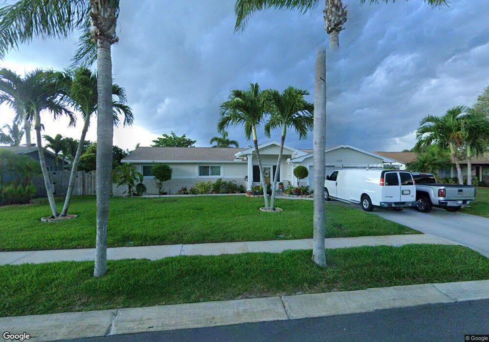
365 Desoto Pkwy Satellite Beach, FL 32937
Estimated Value: $469,887 - $548,000
3
Beds
2
Baths
1,463
Sq Ft
$356/Sq Ft
Est. Value
About This Home
This home is located at 365 Desoto Pkwy, Satellite Beach, FL 32937 and is currently estimated at $520,722, approximately $355 per square foot. 365 Desoto Pkwy is a home located in Brevard County with nearby schools including Ocean Breeze Elementary School, Satellite Senior High School, and DeLaura Middle School.
Ownership History
Date
Name
Owned For
Owner Type
Purchase Details
Closed on
Nov 29, 2006
Sold by
Bitzanakis Pierre and Bitzanakis Panagiota
Bought by
Rlt Pierre and Rlt Panagiota Bitzanakis
Current Estimated Value
Purchase Details
Closed on
Feb 29, 1996
Sold by
Pennington Paula C and Miller Paula A
Bought by
Bitzanakis Pierre and Bitzanakis Pota
Home Financials for this Owner
Home Financials are based on the most recent Mortgage that was taken out on this home.
Original Mortgage
$82,900
Interest Rate
6.97%
Create a Home Valuation Report for This Property
The Home Valuation Report is an in-depth analysis detailing your home's value as well as a comparison with similar homes in the area
Home Values in the Area
Average Home Value in this Area
Purchase History
| Date | Buyer | Sale Price | Title Company |
|---|---|---|---|
| Rlt Pierre | -- | Attorney | |
| Bitzanakis Pierre | $92,900 | -- |
Source: Public Records
Mortgage History
| Date | Status | Borrower | Loan Amount |
|---|---|---|---|
| Previous Owner | Bitzanakis Pierre | $82,900 |
Source: Public Records
Tax History Compared to Growth
Tax History
| Year | Tax Paid | Tax Assessment Tax Assessment Total Assessment is a certain percentage of the fair market value that is determined by local assessors to be the total taxable value of land and additions on the property. | Land | Improvement |
|---|---|---|---|---|
| 2025 | $1,969 | $138,630 | -- | -- |
| 2024 | $1,928 | $134,730 | -- | -- |
| 2023 | $1,928 | $130,810 | $0 | $0 |
| 2022 | $1,795 | $127,000 | $0 | $0 |
| 2021 | $1,834 | $123,310 | $0 | $0 |
| 2020 | $1,824 | $121,610 | $0 | $0 |
| 2019 | $1,804 | $118,880 | $0 | $0 |
| 2018 | $1,799 | $116,670 | $0 | $0 |
| 2017 | $1,651 | $114,280 | $0 | $0 |
| 2016 | $1,649 | $111,930 | $85,000 | $26,930 |
| 2015 | $1,686 | $111,160 | $75,000 | $36,160 |
| 2014 | $1,685 | $110,280 | $70,000 | $40,280 |
Source: Public Records
Map
Nearby Homes
- 431 E Amherst Cir
- 620 Jamaica Blvd
- 435 Desoto Pkwy
- 550 Temple St
- 235 S Marco Way
- 690 Trinidad Ct
- 105 Carissa Dr
- 215 S Robert Way
- 484 Greenway Ave
- 445 Saint Johns Dr
- 302 Markley Ct
- 155 Elm Ave
- 502 Bay Cir
- 527 Summerset Ct
- 426 Hawthorne Ct Unit G2
- 199 Skyline Ct
- 366 Ocean Spray Ave
- 368 Ocean Spray Ave
- 589 Coconut St
- 443 Hawthorne Ct
- 375 Desoto Pkwy
- 355 Desoto Pkwy
- 350 Kingston Rd
- 360 Kingston Rd
- 340 Kingston Rd
- 385 Desoto Pkwy
- 345 Desoto Pkwy
- 370 Kingston Rd
- 330 Kingston Rd
- 370 Desoto Pkwy
- 378 Desoto Pkwy
- 389 Desoto Pkwy
- 390 Kingston Rd
- 380 Desoto Pkwy
- 360 Desoto Pkwy
- 335 Desoto Pkwy
- 610 Kingston Cir
- 367 Kingston Rd
- 377 Kingston Rd
- 365 Kingston Rd