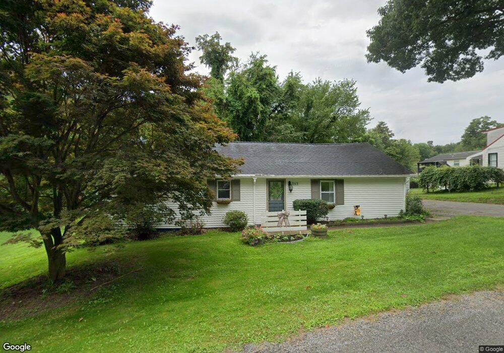
365 Duncan Ave East Liverpool, OH 43920
Estimated Value: $121,000 - $161,000
3
Beds
2
Baths
1,323
Sq Ft
$106/Sq Ft
Est. Value
About This Home
This home is located at 365 Duncan Ave, East Liverpool, OH 43920 and is currently estimated at $140,833, approximately $106 per square foot. 365 Duncan Ave is a home located in Columbiana County with nearby schools including Westgate Middle School, LaCroft Elementary School, and East Liverpool High School.
Ownership History
Date
Name
Owned For
Owner Type
Purchase Details
Closed on
Jul 22, 2020
Sold by
Mays Lynn A and Langdon Lynn A
Bought by
Langdon Jeffrey D
Current Estimated Value
Purchase Details
Closed on
Jul 27, 1995
Sold by
Miller Flora M
Bought by
Langdon Jeffrey D and Langdon Lynna L
Home Financials for this Owner
Home Financials are based on the most recent Mortgage that was taken out on this home.
Original Mortgage
$43,200
Interest Rate
7.59%
Mortgage Type
New Conventional
Create a Home Valuation Report for This Property
The Home Valuation Report is an in-depth analysis detailing your home's value as well as a comparison with similar homes in the area
Home Values in the Area
Average Home Value in this Area
Purchase History
| Date | Buyer | Sale Price | Title Company |
|---|---|---|---|
| Langdon Jeffrey D | -- | None Available | |
| Langdon Jeffrey D | $48,000 | -- |
Source: Public Records
Mortgage History
| Date | Status | Borrower | Loan Amount |
|---|---|---|---|
| Closed | Langdon Jeffrey D | $43,200 |
Source: Public Records
Tax History Compared to Growth
Tax History
| Year | Tax Paid | Tax Assessment Tax Assessment Total Assessment is a certain percentage of the fair market value that is determined by local assessors to be the total taxable value of land and additions on the property. | Land | Improvement |
|---|---|---|---|---|
| 2024 | $1,177 | $28,880 | $3,540 | $25,340 |
| 2023 | $1,177 | $28,880 | $3,540 | $25,340 |
| 2022 | $1,178 | $28,880 | $3,540 | $25,340 |
| 2021 | $926 | $21,670 | $3,960 | $17,710 |
| 2020 | $927 | $21,670 | $3,960 | $17,710 |
| 2019 | $927 | $21,670 | $3,960 | $17,710 |
| 2018 | $897 | $19,710 | $3,610 | $16,100 |
| 2017 | $946 | $19,710 | $3,610 | $16,100 |
| 2016 | $945 | $19,750 | $3,610 | $16,140 |
| 2015 | $961 | $19,750 | $3,610 | $16,140 |
| 2014 | $887 | $19,750 | $3,610 | $16,140 |
Source: Public Records
Map
Nearby Homes
- 16007 Simmons St
- 2512 Boring Ln
- 2476 Lisbon St
- 602 9th Ave
- 2249 Lisbon St
- 141 Huntington Ct
- 139 Huntington Ct
- 539 7th Ave
- 468 6th Ave
- 3105 Forest Hills Dr
- 147 Huntington Ct
- 3135 Forest Hills Dr
- 3177 Forest Hills Dr
- 138 Huntington Ct
- 3173 Forest Hills Dr
- 3165 Forest Hills Dr
- 3140 Forest Hills Dr
- 140 Huntington Ct
- 3178 Forest Hills Dr
- 3186 Forest Hills Dr
- 385 Duncan Ave
- 385 Duncan Ave Unit 5
- 321 Duncan Ave
- 384 Duncan Ave
- 441 Duncan Ave
- 2631 Connell St
- 2609 Connell St
- 415 Westfield Rd
- 441 Westfield Rd
- 258 Duncan Ave
- 258 Duncan Ave
- 427 Westfield Rd
- 427 Westfield Rd
- 47309 Warren Ave
- 2663 Boring Ln
- 277 Westfield Rd
- 277 Westfield Rd
- 478 Westfield Rd
- 509 Westfield Rd
- 2682 Croft Ave