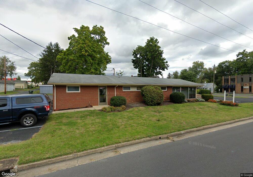
365 S Linden Ave Waynesboro, VA 22980
Estimated Value: $252,654
--
Bed
--
Bath
2,101
Sq Ft
$120/Sq Ft
Est. Value
About This Home
This home is located at 365 S Linden Ave, Waynesboro, VA 22980 and is currently estimated at $252,654, approximately $120 per square foot. 365 S Linden Ave is a home located in Waynesboro City with nearby schools including Westwood Hills Elementary School, Kate Collins Middle School, and Waynesboro High School.
Ownership History
Date
Name
Owned For
Owner Type
Purchase Details
Closed on
Dec 29, 2020
Sold by
Cunningham Michael T and Cunningham Catherine R
Bought by
Poast Holding Llc
Current Estimated Value
Home Financials for this Owner
Home Financials are based on the most recent Mortgage that was taken out on this home.
Original Mortgage
$140,000
Outstanding Balance
$126,373
Interest Rate
2.71%
Mortgage Type
Credit Line Revolving
Estimated Equity
$123,910
Create a Home Valuation Report for This Property
The Home Valuation Report is an in-depth analysis detailing your home's value as well as a comparison with similar homes in the area
Home Values in the Area
Average Home Value in this Area
Purchase History
| Date | Buyer | Sale Price | Title Company |
|---|---|---|---|
| Poast Holding Llc | $175,000 | Attorney |
Source: Public Records
Mortgage History
| Date | Status | Borrower | Loan Amount |
|---|---|---|---|
| Open | Poast Holding Llc | $140,000 | |
| Previous Owner | Cunningham Michael T | $50,000 |
Source: Public Records
Tax History Compared to Growth
Tax History
| Year | Tax Paid | Tax Assessment Tax Assessment Total Assessment is a certain percentage of the fair market value that is determined by local assessors to be the total taxable value of land and additions on the property. | Land | Improvement |
|---|---|---|---|---|
| 2024 | $2,020 | $262,400 | $133,200 | $129,200 |
| 2023 | $2,020 | $262,400 | $133,200 | $129,200 |
| 2022 | $2,156 | $239,600 | $126,400 | $113,200 |
| 2021 | $2,156 | $239,600 | $126,400 | $113,200 |
| 2020 | $3,040 | $337,800 | $123,800 | $214,000 |
| 2019 | $3,040 | $337,800 | $123,800 | $214,000 |
| 2018 | $3,040 | $337,800 | $123,800 | $214,000 |
| 2017 | $2,939 | $337,800 | $123,800 | $214,000 |
| 2016 | $2,815 | $351,900 | $123,800 | $228,100 |
| 2015 | $2,815 | $351,900 | $123,800 | $228,100 |
| 2014 | -- | $352,700 | $123,800 | $228,900 |
| 2013 | -- | $0 | $0 | $0 |
Source: Public Records
Map
Nearby Homes
- 373 S Magnolia Ave
- 411 S Poplar Ave
- 1215 W 12th St
- 1625 W Main St
- 576 S Magnolia Ave
- 645 Cherry Ave
- 636 Pine Ave
- 636 Rosser Ave
- 1533 Stuart St
- 108 King Ave
- 616 Lynn Ln
- 817 Maple Ave
- 0 Hopeman Pkwy Unit 607554
- 616 Dewitt St
- 700 Rife Rd Unit 10 B
- 633 S Wayne Ave
- 2149 Cortland St
- 2010 White Bridge Rd
- 835 Rosser Ave
- 844 Lyndhurst Rd
- 357 S Linden Ave
- 401 S Linden Ave
- 343 S Linden Ave
- 405 S Linden Ave
- 405 S Linden Ave Unit 3
- 362 S Laurel Ave
- 356 S Laurel Ave
- 400 S Laurel Ave
- 337 S Linden Ave
- 409 S Linden Ave
- 366 S Linden Ave
- 348 S Laurel Ave
- 404 S Laurel Ave
- 360 S Linden Ave
- 400 S Linden Ave
- 333 S Linden Ave
- 340 S Laurel Ave
- 416 S Laurel Ave
- 413 S Linden Ave
- 356 S Linden Ave