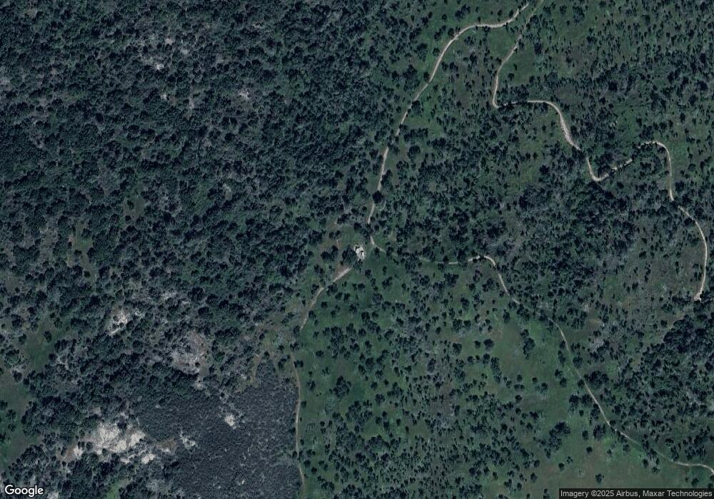
36524 Texas Flat Mine Rd Coarsegold, CA 93614
Estimated Value: $66,000 - $372,000
1
Bed
1
Bath
831
Sq Ft
$183/Sq Ft
Est. Value
About This Home
This home is located at 36524 Texas Flat Mine Rd, Coarsegold, CA 93614 and is currently estimated at $151,915, approximately $182 per square foot. 36524 Texas Flat Mine Rd is a home located in Madera County.
Ownership History
Date
Name
Owned For
Owner Type
Purchase Details
Closed on
Apr 7, 2016
Sold by
Crown Castle Towers 06-2 Llc
Bought by
Rudd Laurel L and Davis Karen A
Current Estimated Value
Purchase Details
Closed on
Jun 25, 2015
Sold by
Madera Radio Dispatch Inc
Bought by
Crown Castle Towers 06-2 Llc
Purchase Details
Closed on
Jun 4, 2015
Sold by
James P Moran & Sylvia Moran Living Trus
Bought by
Madera Radio Dispatch Inc
Purchase Details
Closed on
May 19, 1999
Sold by
Wiley Gerald H and Wiley Agnes D
Bought by
James P & Sylvia Moran Living Trust
Create a Home Valuation Report for This Property
The Home Valuation Report is an in-depth analysis detailing your home's value as well as a comparison with similar homes in the area
Home Values in the Area
Average Home Value in this Area
Purchase History
| Date | Buyer | Sale Price | Title Company |
|---|---|---|---|
| Rudd Laurel L | $40,000 | None Available | |
| Crown Castle Towers 06-2 Llc | $543,500 | Old Republic Title | |
| Madera Radio Dispatch Inc | $40,000 | Chicago Title Company | |
| James P & Sylvia Moran Living Trust | $30,000 | Chicago Title Co |
Source: Public Records
Tax History Compared to Growth
Tax History
| Year | Tax Paid | Tax Assessment Tax Assessment Total Assessment is a certain percentage of the fair market value that is determined by local assessors to be the total taxable value of land and additions on the property. | Land | Improvement |
|---|---|---|---|---|
| 2025 | $474 | $47,348 | $47,348 | -- |
| 2023 | $474 | $45,510 | $45,510 | $0 |
| 2022 | $463 | $44,618 | $44,618 | $0 |
| 2021 | $453 | $43,744 | $43,744 | $0 |
| 2020 | $452 | $43,296 | $43,296 | $0 |
| 2019 | $443 | $42,448 | $42,448 | $0 |
| 2018 | $434 | $41,616 | $41,616 | $0 |
| 2017 | $427 | $40,800 | $40,800 | $0 |
| 2016 | $382 | $37,073 | $37,073 | $0 |
| 2015 | $376 | $36,517 | $36,517 | $0 |
| 2014 | -- | $35,802 | $35,802 | $0 |
Source: Public Records
Map
Nearby Homes
- 46041 Road 415 Unit 27
- 46041 Road 415 Unit 179
- 46041 Road 415 Unit 140
- 35680 Forest Dr
- 36515 Wells Rd
- 0 0 Unit IV24173054
- 0 Farmstead Rd
- 46455 Konklin Rd
- 35441 Highway 41
- 43972 Wells Rd W
- 0 Veater Ranch Rd
- 45318 Road 415
- 1111 Lazy L Summit Ln
- 0 Stone Ridge Ln
- 38088 Serpa Canyon Rd
- 43310 Werney Rd
- 3 Acres Serendipity Ln
- 56 Serendipity Ln Unit Lot56
- 47180 Lookout Mountain Dr
- 1 Buggy Whip Ln
- 36242 Woodson Hill Rd
- 36224 Woodson Hill Rd
- 46016 Jordan Ln W
- 35754 Texas Flat Mine Rd
- 46175 Jordan Ln W
- 46161 Mc Allister Rd
- 35716 Texas Flat Mine Rd
- 36136 Woodson Hill Rd
- 46055 Mc Allister Rd
- 35951 Jordan Ln W
- 0-3.26 Ac Douglas Trail
- 46033 Mc Allister Rd
- 46011 Mc Allister Rd
- 35600 Texas Flat Mine Rd
- 46336 Mc Allister Rd
- 45225 Douglas Rd S
- 46469 Mc Allister Rd
- 45835 Road 415
- 46041 Road 415 Unit 33
- 46041 Road 415 Unit 29
