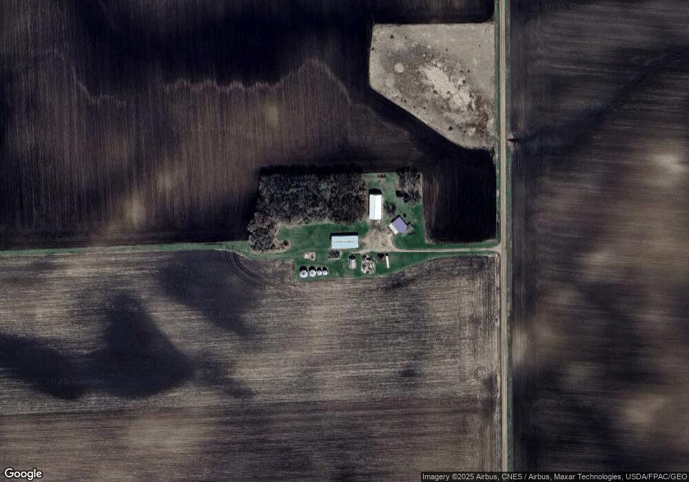
36629 690th Ave Saint James, MN 56081
Estimated Value: $309,570 - $313,000
3
Beds
2
Baths
1,504
Sq Ft
$207/Sq Ft
Est. Value
About This Home
This home is located at 36629 690th Ave, Saint James, MN 56081 and is currently estimated at $311,285, approximately $206 per square foot. 36629 690th Ave is a home located in Watonwan County with nearby schools including Armstrong School, Northside Elementary School, and St. James High School.
Create a Home Valuation Report for This Property
The Home Valuation Report is an in-depth analysis detailing your home's value as well as a comparison with similar homes in the area
Home Values in the Area
Average Home Value in this Area
Tax History Compared to Growth
Tax History
| Year | Tax Paid | Tax Assessment Tax Assessment Total Assessment is a certain percentage of the fair market value that is determined by local assessors to be the total taxable value of land and additions on the property. | Land | Improvement |
|---|---|---|---|---|
| 2025 | $1,158 | $290,400 | $119,200 | $171,200 |
| 2024 | $1,100 | $301,700 | $126,900 | $174,800 |
| 2023 | $970 | $303,400 | $126,900 | $176,500 |
| 2022 | $478 | $239,200 | $99,900 | $139,300 |
| 2021 | $458 | $167,500 | $62,500 | $105,000 |
| 2020 | $456 | $171,600 | $65,100 | $106,500 |
| 2019 | $496 | $180,000 | $65,100 | $114,900 |
| 2018 | $466 | $180,000 | $65,100 | $114,900 |
| 2016 | $486 | $184,800 | $70,300 | $114,500 |
| 2014 | -- | $170,000 | $72,300 | $97,700 |
Source: Public Records
Map
Nearby Homes
- 69193 380th St
- 35726 710th Ave
- 0 Parcel Id# 05 510 0010 Unit 7037951
- 0 Parcel Id# 05 510 0020 Unit 7037952
- 0 Parcel Id Unit 5.510.0040 7037953
- 0 Parcel Id Unit 5.510.0050 7037954
- 0 Parcel Id Unit 5.510.0060 7037955
- 601 Levee Blvd
- 200 10th Ave S
- 914 3rd St S
- 207 7th Ave S
- 1007 5th St S
- 521 4th St N
- 503 9th Ave S
- 1023 Armstrong Blvd S
- 1013 Westwood Dr
- 915 Armstrong Blvd S
- 0000 Minnesota 4
- 702 9th Ave S Unit 702 9th Ave S
- 702 9th Ave S