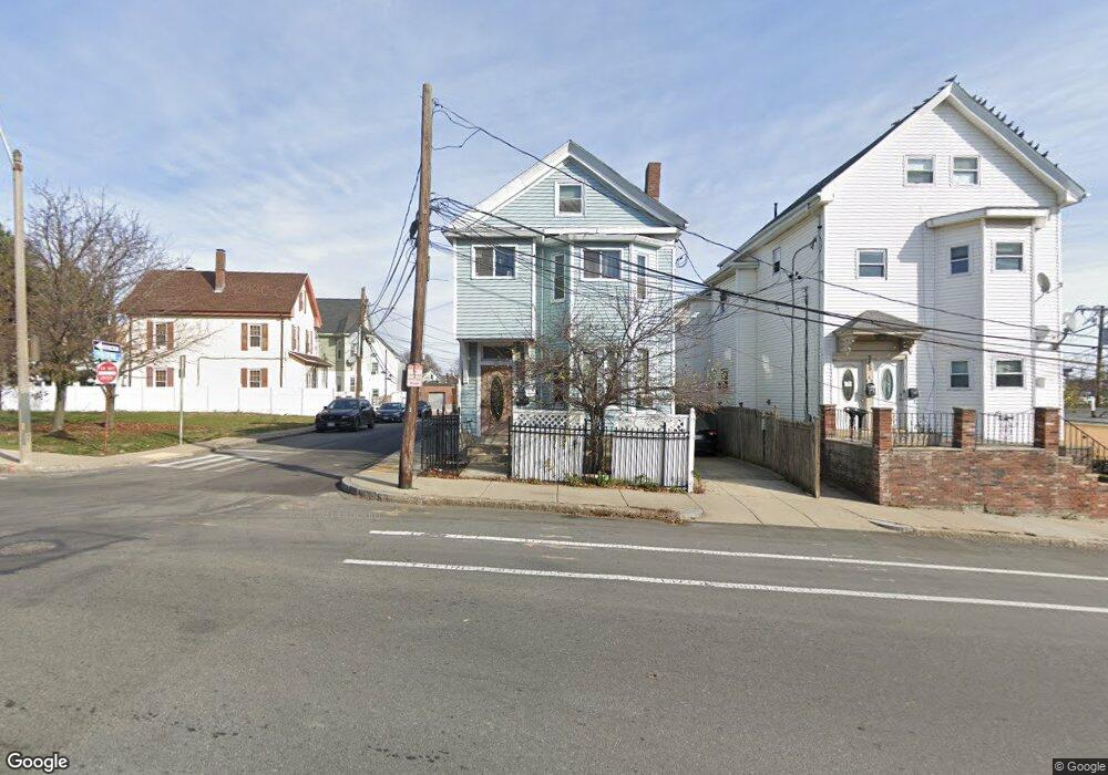
367 Mcgrath Hwy Somerville, MA 02143
East Somerville NeighborhoodEstimated Value: $1,019,915 - $1,338,000
3
Beds
2
Baths
1,500
Sq Ft
$760/Sq Ft
Est. Value
About This Home
This home is located at 367 Mcgrath Hwy, Somerville, MA 02143 and is currently estimated at $1,140,479, approximately $760 per square foot. 367 Mcgrath Hwy is a home located in Middlesex County with nearby schools including Somerville High School and Prospect Hill Academy Upper Elementary Campus.
Ownership History
Date
Name
Owned For
Owner Type
Purchase Details
Closed on
May 26, 2021
Sold by
Rousseau Alphonse
Bought by
Louine Wislene
Current Estimated Value
Purchase Details
Closed on
Jul 11, 2001
Sold by
Salmon Phyllis
Bought by
Louine Wilsene
Home Financials for this Owner
Home Financials are based on the most recent Mortgage that was taken out on this home.
Original Mortgage
$304,000
Interest Rate
7.2%
Mortgage Type
Purchase Money Mortgage
Purchase Details
Closed on
Aug 28, 1996
Sold by
Feldman Paul L and Feldman Sarah J
Bought by
Salmon Phyllis
Home Financials for this Owner
Home Financials are based on the most recent Mortgage that was taken out on this home.
Original Mortgage
$92,000
Interest Rate
8.18%
Mortgage Type
Purchase Money Mortgage
Purchase Details
Closed on
May 13, 1996
Sold by
Ferreria Lloyd G and Ferreira Loretta M
Bought by
Feldman Paul L and Feldman Sarah J
Home Financials for this Owner
Home Financials are based on the most recent Mortgage that was taken out on this home.
Original Mortgage
$94,400
Interest Rate
7.67%
Mortgage Type
Purchase Money Mortgage
Create a Home Valuation Report for This Property
The Home Valuation Report is an in-depth analysis detailing your home's value as well as a comparison with similar homes in the area
Home Values in the Area
Average Home Value in this Area
Purchase History
| Date | Buyer | Sale Price | Title Company |
|---|---|---|---|
| Louine Wislene | -- | None Available | |
| Louine Wilsene | $320,000 | -- | |
| Salmon Phyllis | $127,000 | -- | |
| Feldman Paul L | $81,000 | -- |
Source: Public Records
Mortgage History
| Date | Status | Borrower | Loan Amount |
|---|---|---|---|
| Previous Owner | Feldman Paul L | $304,000 | |
| Previous Owner | Feldman Paul L | $92,000 | |
| Previous Owner | Feldman Paul L | $94,400 | |
| Previous Owner | Feldman Paul L | $21,100 |
Source: Public Records
Tax History Compared to Growth
Tax History
| Year | Tax Paid | Tax Assessment Tax Assessment Total Assessment is a certain percentage of the fair market value that is determined by local assessors to be the total taxable value of land and additions on the property. | Land | Improvement |
|---|---|---|---|---|
| 2025 | $8,924 | $818,000 | $344,600 | $473,400 |
| 2024 | $8,320 | $790,900 | $344,600 | $446,300 |
| 2023 | $8,097 | $783,100 | $344,600 | $438,500 |
| 2022 | $7,568 | $743,400 | $328,200 | $415,200 |
| 2021 | $7,214 | $707,900 | $323,700 | $384,200 |
| 2020 | $6,802 | $674,100 | $311,300 | $362,800 |
| 2019 | $6,369 | $591,900 | $258,200 | $333,700 |
| 2018 | $5,568 | $492,300 | $206,500 | $285,800 |
| 2017 | $5,334 | $457,100 | $194,800 | $262,300 |
| 2016 | $4,878 | $389,300 | $136,800 | $252,500 |
| 2015 | $4,876 | $386,700 | $136,100 | $250,600 |
Source: Public Records
Map
Nearby Homes
- 25 Alston St
- 20 Alston St
- 142 Cross St
- 34 Knowlton St Unit 2
- 36 Fountain Ave
- 76 Franklin St
- 25 Auburn Ave Unit 2
- 38 Franklin Ave
- 39 Gilman St
- 84 Cross St
- 85 A Munroe St Unit 1
- 74 Gilman St Unit 1
- 147 - 149 Pearl
- 57 Myrtle St
- 8 Everett St
- 30 Walnut St
- 28 Highland Ave Unit 3
- 19 Everett Ave
- 36 Everett Ave
- 32 Pinckney St
- 367 Mcgrath Hwy Unit 1
- 367 Mcgrath Hwy
- 367 Mcgrath Hwy Unit 2
- 365 Mcgrath Hwy
- 60R Alston St
- 151 Washington St
- 149 149-153 Washington St
- 60 Alston St
- 60 Alston St Unit R
- 60 Alston St Unit 2
- 57 Alston St
- 58 Alston St
- 149 Washington St
- 51 Alston St
- 56 Alston St
- 56 Alston St Unit 1
- 41 Alston St
- 39 Alston St
- 39 Alston St Unit 1
- 35 Alston St