36768 650th Ave Butterfield, MN 56120
Estimated Value: $202,000 - $277,226
3
Beds
1
Bath
2,084
Sq Ft
$115/Sq Ft
Est. Value
About This Home
This home is located at 36768 650th Ave, Butterfield, MN 56120 and is currently estimated at $239,613, approximately $114 per square foot. 36768 650th Ave is a home located in Cottonwood County with nearby schools including Butterfield Elementary School.
Ownership History
Date
Name
Owned For
Owner Type
Purchase Details
Closed on
Jun 5, 2020
Sold by
Anderson Hannah Hannah
Bought by
Nommensen Lorin Lorin
Current Estimated Value
Create a Home Valuation Report for This Property
The Home Valuation Report is an in-depth analysis detailing your home's value as well as a comparison with similar homes in the area
Home Values in the Area
Average Home Value in this Area
Purchase History
| Date | Buyer | Sale Price | Title Company |
|---|---|---|---|
| Nommensen Lorin Lorin | $219,000 | -- |
Source: Public Records
Tax History Compared to Growth
Tax History
| Year | Tax Paid | Tax Assessment Tax Assessment Total Assessment is a certain percentage of the fair market value that is determined by local assessors to be the total taxable value of land and additions on the property. | Land | Improvement |
|---|---|---|---|---|
| 2025 | $3,648 | $252,700 | $84,000 | $168,700 |
| 2024 | $3,192 | $252,700 | $84,000 | $168,700 |
| 2023 | $3,000 | $238,800 | $84,000 | $154,800 |
| 2022 | $2,274 | $207,000 | $84,000 | $123,000 |
| 2021 | $1,238 | $137,000 | $53,000 | $84,000 |
| 2020 | $2,780 | $137,100 | $53,000 | $84,100 |
| 2019 | $2,866 | $137,400 | $53,000 | $84,400 |
| 2018 | $2,860 | $133,900 | $53,000 | $80,900 |
| 2016 | $2,830 | $127,700 | $53,000 | $74,700 |
| 2014 | -- | $115,800 | $35,400 | $80,400 |
Source: Public Records
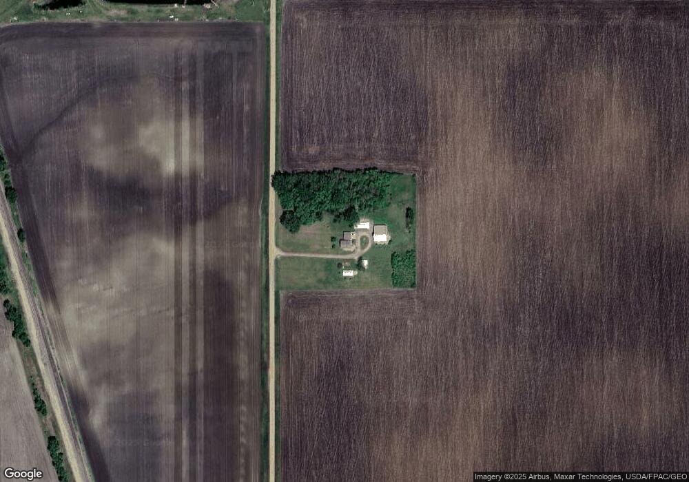
Map
Nearby Homes
- 0 Tbd S Third St Unit TBD Third St S
- 525 Elwell Ave
- 325 3rd St N
- 69193 380th St
- 0 Parcel Id# 05 510 0010 Unit 7037951
- 0 Parcel Id# 05 510 0020 Unit 7037952
- 35726 710th Ave
- 0 Parcel Id Unit 5.510.0040 7037953
- 0 Parcel Id Unit 5.510.0050 7037954
- 0 Parcel Id Unit 5.510.0060 7037955
- 204 N 2nd St
- 105 S 2nd St
- 601 Levee Blvd
- 1319 3rd Ave
- 1013 Westwood Dr
- 200 10th Ave S
- 605 13th St N
- 201 2nd St N
- 914 3rd St S
- 106 12th St N
- 000 650th Ave
- 36522 Sturm Ave
- 36496 Sturm Ave
- 205 Sturm Ave
- 505 Armstrong Ave
- 37350 650th Ave
- 435 435 Maple Ave
- 435 Maple Ave
- 000 Minnesota 60
- 65582 370th St
- 455 Armstrong Ave
- 520 Armstrong Ave
- 500 Armstrong Ave
- 450 Armstrong Ave
- 435 Armstrong Ave
- 37351 650th Ave
- 415 Armstrong Ave
- 440 Armstrong Ave
- 410 4th St S
- 305 4th St S