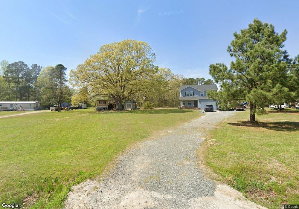
368 Hight Rd Louisburg, NC 27549
Estimated Value: $257,000 - $367,313
3
Beds
3
Baths
1,864
Sq Ft
$179/Sq Ft
Est. Value
About This Home
This home is located at 368 Hight Rd, Louisburg, NC 27549 and is currently estimated at $334,328, approximately $179 per square foot. 368 Hight Rd is a home with nearby schools including Laurel Mill Elementary School, Terrell Lane Middle School, and Louisburg High School.
Create a Home Valuation Report for This Property
The Home Valuation Report is an in-depth analysis detailing your home's value as well as a comparison with similar homes in the area
Home Values in the Area
Average Home Value in this Area
Tax History Compared to Growth
Tax History
| Year | Tax Paid | Tax Assessment Tax Assessment Total Assessment is a certain percentage of the fair market value that is determined by local assessors to be the total taxable value of land and additions on the property. | Land | Improvement |
|---|---|---|---|---|
| 2025 | $1,764 | $292,760 | $43,190 | $249,570 |
| 2024 | $1,764 | $292,760 | $43,190 | $249,570 |
| 2023 | $1,657 | $183,070 | $14,270 | $168,800 |
Source: Public Records
Map
Nearby Homes
- 2329 N Carolina 561
- 09 Tillery Dr
- 11 Tillery Dr
- 08 Tillery Dr
- 592 Perdues Rd
- 06 Tillery Dr
- 348 Raymond Tharrington Rd
- 317 Brewer Rd
- 620 Raymond Tharrington Rd
- 4.29 Acres Leonard Rd
- 9.56 Acres Leonard Rd
- 0 Wood Rd
- 376 T K Allen Rd
- 0 Shortleaf Dr Unit 10119597
- 15 Gina Lee Terrace
- 45 Leisure Ln
- 55 Leisure Ln
- 70 Leisure Ln
- Cypress Springs Dr
- 0 Cypress Creek Dr
- 392 Hight Rd
- 3021 Nc 561 Hwy
- 2987 Nc 561 Hwy
- 2975 Nc 561 Hwy
- 3114 Nc 561 Hwy
- 3114 Nc 561 Hwy
- 3114 Nc 561 Hwy
- 3114 Nc 561 Hwy
- 2884 N Carolina 561
- 2884 Nc 561 Hwy
- 62 Graham Burnette Ln
- 62 Graham Burnette Ln
- 54 Laurel Mill Rd
- 0 Hight Rd Unit 1938359
- 0 Hight Rd Unit 1938365
- 0 Hight Rd Unit 1959109
- 0 Hight Rd Unit 1945748
- 0 Hight Rd Unit 1956537
- 0 Hight Rd Unit 1760746
- 0 Hight Rd Unit 1641949