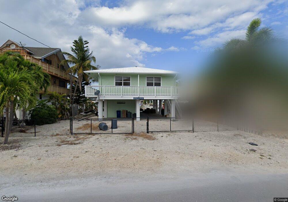
371 Caribbean Dr E Summerland Key, FL 33042
Estimated Value: $962,290 - $1,256,000
2
Beds
2
Baths
1,178
Sq Ft
$928/Sq Ft
Est. Value
About This Home
This home is located at 371 Caribbean Dr E, Summerland Key, FL 33042 and is currently estimated at $1,093,573, approximately $928 per square foot. 371 Caribbean Dr E is a home located in Monroe County with nearby schools including Sugarloaf School and Key West High School.
Ownership History
Date
Name
Owned For
Owner Type
Purchase Details
Closed on
Apr 15, 2011
Sold by
Davie Robert N and Davie Sharon Kay
Bought by
Bolliger Edward E and Bolliger Edward E
Current Estimated Value
Purchase Details
Closed on
Dec 1, 1991
Bought by
Bolliger Edward E
Purchase Details
Closed on
Jul 1, 1988
Bought by
Bolliger Edward E
Purchase Details
Closed on
Jun 1, 1987
Bought by
Bolliger Edward E
Purchase Details
Closed on
Nov 1, 1980
Bought by
Bolliger Edward E
Purchase Details
Closed on
Dec 1, 1978
Bought by
Bolliger Edward E
Create a Home Valuation Report for This Property
The Home Valuation Report is an in-depth analysis detailing your home's value as well as a comparison with similar homes in the area
Home Values in the Area
Average Home Value in this Area
Purchase History
| Date | Buyer | Sale Price | Title Company |
|---|---|---|---|
| Bolliger Edward E | $340,000 | Florida Keys Title Company | |
| Bolliger Edward E | $172,000 | -- | |
| Bolliger Edward E | $153,000 | -- | |
| Bolliger Edward E | $32,000 | -- | |
| Bolliger Edward E | -- | -- | |
| Bolliger Edward E | $8,500 | -- |
Source: Public Records
Tax History Compared to Growth
Tax History
| Year | Tax Paid | Tax Assessment Tax Assessment Total Assessment is a certain percentage of the fair market value that is determined by local assessors to be the total taxable value of land and additions on the property. | Land | Improvement |
|---|---|---|---|---|
| 2024 | $6,277 | $827,532 | $558,000 | $269,532 |
| 2023 | $6,277 | $866,013 | $606,000 | $260,013 |
| 2022 | $5,604 | $732,393 | $468,000 | $264,393 |
| 2021 | $4,952 | $508,254 | $268,500 | $239,754 |
| 2020 | $4,528 | $447,081 | $255,000 | $192,081 |
| 2019 | $4,334 | $424,571 | $226,500 | $198,071 |
| 2018 | $4,568 | $437,544 | $240,000 | $197,544 |
| 2017 | $4,570 | $442,611 | $0 | $0 |
| 2016 | $4,304 | $401,683 | $0 | $0 |
| 2015 | $4,694 | $447,944 | $0 | $0 |
| 2014 | $4,368 | $376,536 | $0 | $0 |
Source: Public Records
Map
Nearby Homes
- 24285 Caribbean Dr
- 680 Cruikshank Island
- 24931 Overseas Hwy
- 24356 Overseas Hwy
- 835 Gulf Dr
- 860 Lagoon Dr
- 876 Gulf Dr
- 466 W Shore Dr
- 951 Lagoon Dr
- 937 Gulf Dr
- 948 Gulf Dr
- 974 Flagship Dr
- 554 W Shore Dr
- 231 E Shore Dr Unit 7
- 231 E Shore Dr Unit 6
- 231 E Shore Dr Unit 4
- 231 E Shore Dr Unit 2
- 231 E Shore Dr Unit 5
- 231 E Shore Dr Unit 1
- 231 E Shore Dr Unit 3
- 381 Caribbean Dr E
- 361 Caribbean Dr E
- 413 Caribbean Dr E
- 351 Caribbean Dr E
- 372 Caribbean Dr E
- 362 Caribbean Dr E
- 280 Airport Dr S
- 382 Caribbean Dr E
- 290 Airport Dr S
- 270 Airport Dr S
- 423 Caribbean Dr E
- 341 Caribbean Dr E
- 352 Caribbean Dr E
- 414 Caribbean Dr E
- 304 Airport Dr S
- 0 Airport Dr S
- 342 Caribbean Dr E
- 424 Caribbean Dr E
- 314 Airport Dr S
- 250 Airport Dr S