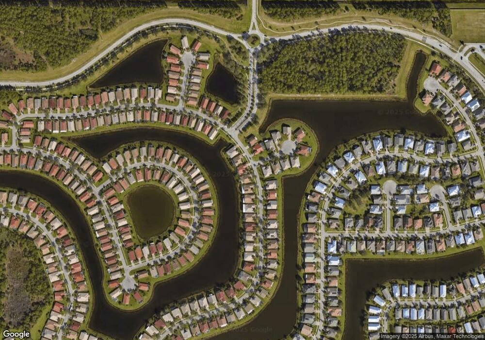
371 NW Shoreview Dr Port Saint Lucie, FL 34986
Saint Lucie West NeighborhoodEstimated Value: $410,285 - $526,000
3
Beds
2
Baths
2,426
Sq Ft
$191/Sq Ft
Est. Value
About This Home
This home is located at 371 NW Shoreview Dr, Port Saint Lucie, FL 34986 and is currently estimated at $464,321, approximately $191 per square foot. 371 NW Shoreview Dr is a home located in St. Lucie County with nearby schools including West Gate K-8 School, Bayshore Elementary School, and Oak Hammock K-8 School.
Ownership History
Date
Name
Owned For
Owner Type
Purchase Details
Closed on
Dec 29, 2004
Sold by
Levitt Homes Llc
Bought by
Odell Donald L and Odell Helen E
Current Estimated Value
Home Financials for this Owner
Home Financials are based on the most recent Mortgage that was taken out on this home.
Original Mortgage
$279,600
Outstanding Balance
$140,325
Interest Rate
5.66%
Mortgage Type
Purchase Money Mortgage
Estimated Equity
$323,996
Create a Home Valuation Report for This Property
The Home Valuation Report is an in-depth analysis detailing your home's value as well as a comparison with similar homes in the area
Home Values in the Area
Average Home Value in this Area
Purchase History
| Date | Buyer | Sale Price | Title Company |
|---|---|---|---|
| Odell Donald L | $310,800 | U F C Title Ins Agency Llc |
Source: Public Records
Mortgage History
| Date | Status | Borrower | Loan Amount |
|---|---|---|---|
| Open | Odell Donald L | $279,600 |
Source: Public Records
Tax History Compared to Growth
Tax History
| Year | Tax Paid | Tax Assessment Tax Assessment Total Assessment is a certain percentage of the fair market value that is determined by local assessors to be the total taxable value of land and additions on the property. | Land | Improvement |
|---|---|---|---|---|
| 2024 | $5,453 | $247,524 | -- | -- |
| 2023 | $5,453 | $240,315 | $0 | $0 |
| 2022 | $5,261 | $233,316 | $0 | $0 |
| 2021 | $5,168 | $226,521 | $0 | $0 |
| 2020 | $5,208 | $223,394 | $0 | $0 |
| 2019 | $5,168 | $218,372 | $0 | $0 |
| 2018 | $4,942 | $214,301 | $0 | $0 |
| 2017 | $5,028 | $260,100 | $70,000 | $190,100 |
| 2016 | $5,016 | $248,600 | $70,000 | $178,600 |
| 2015 | $5,070 | $227,800 | $60,000 | $167,800 |
| 2014 | $4,821 | $202,528 | $0 | $0 |
Source: Public Records
Map
Nearby Homes
- 307 NW Bayside Ct
- 198 NW Magnolia Lakes Blvd
- 330 NW Shoreview Dr
- 172 NW Magnolia Lakes Blvd
- 318 NW Shoreview Dr
- 486 NW Blue Lake Dr
- 390 NW Sunview Way
- 238 NW Pleasant Grove Way
- 469 NW Blue Lake Dr
- 499 NW Blue Lake Dr
- 138 NW Magnolia Lakes Blvd
- 446 NW Brookville Ct
- 104 NW Rockbridge Ct
- 509 NW Blue Lake Dr
- 127 NW Magnolia Lakes Blvd
- 107 NW Summerville Ct
- 430 NW Brookville Ct
- 417 NW Sunview Way
- 5842 NW Bates Ave
- 137 NW Berkeley Ave
- 369 NW Shoreview Dr
- 373 NW Shoreview Dr
- 367 NW Shoreview Dr
- 375 NW Shoreview Dr
- 301 NW Bayside Ct
- 370 NW Shoreview Dr
- 368 NW Shoreview Dr
- 377 NW Shoreview Dr
- 376 NW Shoreview Dr
- 303 NW Bayside Ct
- 304 NW Bayside Ct
- 378 NW Shoreview Dr
- 379 NW Shoreview Dr
- 305 NW Bayside Ct
- 332 NW Shoreline Cir
- 334 NW Shoreline Cir
- 330 NW Shoreline Cir
- 357 NW Shoreview Dr
- 381 NW Shoreview Dr
- 336 NW Shoreline Cir
