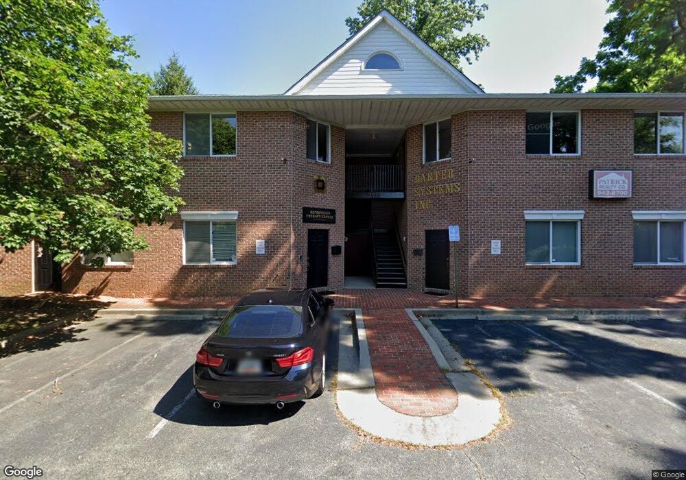
3717 Decatur Ave Unit 1 Kensington, MD 20895
North Kensington NeighborhoodEstimated Value: $642,852
--
Bed
--
Bath
2,031
Sq Ft
$317/Sq Ft
Est. Value
About This Home
This home is located at 3717 Decatur Ave Unit 1, Kensington, MD 20895 and is currently estimated at $642,852, approximately $316 per square foot. 3717 Decatur Ave Unit 1 is a home located in Montgomery County with nearby schools including Mancelona Middle School, Rock View Elementary School, and Newport Mill Middle School.
Ownership History
Date
Name
Owned For
Owner Type
Purchase Details
Closed on
Dec 4, 2014
Sold by
Watson John R and Watson Sheryl
Bought by
Omnicare Llc
Current Estimated Value
Purchase Details
Closed on
Nov 18, 1994
Sold by
Decatur I Ptns
Bought by
Watson John R
Home Financials for this Owner
Home Financials are based on the most recent Mortgage that was taken out on this home.
Original Mortgage
$160,000
Interest Rate
8.9%
Mortgage Type
Commercial
Create a Home Valuation Report for This Property
The Home Valuation Report is an in-depth analysis detailing your home's value as well as a comparison with similar homes in the area
Home Values in the Area
Average Home Value in this Area
Purchase History
| Date | Buyer | Sale Price | Title Company |
|---|---|---|---|
| Omnicare Llc | $420,000 | Commonwealth Land Title | |
| Watson John R | $215,000 | -- |
Source: Public Records
Mortgage History
| Date | Status | Borrower | Loan Amount |
|---|---|---|---|
| Previous Owner | Watson John R | $160,000 |
Source: Public Records
Tax History Compared to Growth
Tax History
| Year | Tax Paid | Tax Assessment Tax Assessment Total Assessment is a certain percentage of the fair market value that is determined by local assessors to be the total taxable value of land and additions on the property. | Land | Improvement |
|---|---|---|---|---|
| 2025 | $4,943 | $452,900 | -- | -- |
| 2024 | $4,943 | $406,200 | $121,800 | $284,400 |
| 2023 | $4,936 | $406,200 | $121,800 | $284,400 |
| 2022 | $3,274 | $406,200 | $121,800 | $284,400 |
| 2021 | $9,463 | $406,200 | $121,800 | $284,400 |
| 2020 | $8,740 | $375,033 | $0 | $0 |
| 2019 | $4,019 | $343,867 | $0 | $0 |
| 2018 | $3,681 | $312,700 | $93,800 | $218,900 |
| 2017 | $3,596 | $303,233 | $0 | $0 |
| 2016 | -- | $293,767 | $0 | $0 |
| 2015 | $3,157 | $284,300 | $0 | $0 |
| 2014 | $3,157 | $284,300 | $0 | $0 |
Source: Public Records
Map
Nearby Homes
- 3722 Lawrence Ave
- 3600 Decatur Ave
- 3511 Decatur Ave
- 3419 University Blvd W Unit 102
- 3421 University Blvd W Unit 3421-302
- 11006 Madison St
- 3603 Plyers Mill Rd
- 3905 Halsey St
- 3922 Denfeld Ct
- 3355 University Blvd W Unit 206
- 11411 Cam Ct
- 3333 University Blvd W Unit 1008
- 4106 Mitscher Ct
- 10502 Drumm Ave
- 3117 Plyers Mill Rd
- 10400 Montgomery Ave
- 10802 Stella Ct
- 10305 Armory Ave
- 3014 Jennings Rd
- 3303 Fayette Rd
- 3713 Decatur Ave
- 3711 Decatur Ave
- 3714 Lawrence Ave
- 3716 Lawrence Ave
- 3712 Lawrence Ave
- 3718 Lawrence Ave
- 3720 Lawrence Ave
- 10901 Connecticut Ave
- 3710 Lawrence Ave
- 3702 Decatur Ave
- 3708 Lawrence Ave
- 3700 Decatur Ave
- 10821 Connecticut Ave
- 3706 Lawrence Ave
- 3701 University Blvd W
- 3703 Decatur Ave
- 3704 Lawrence Ave
- 3725 University Blvd W
- 10812 Newport Mill Rd
- 3715 Lawrence Ave