Estimated Value: $1,106,000 - $1,452,000
5
Beds
6
Baths
4,800
Sq Ft
$258/Sq Ft
Est. Value
About This Home
This home is located at 37190 Broadstone Dr, Solon, OH 44139 and is currently estimated at $1,236,728, approximately $257 per square foot. 37190 Broadstone Dr is a home located in Cuyahoga County with nearby schools including Orchard Middle School, Solon Middle School, and Solon High School.
Ownership History
Date
Name
Owned For
Owner Type
Purchase Details
Closed on
Aug 1, 2008
Sold by
Prestige & Premier Companies
Bought by
Owusu Cynthia and Owusu Osei Tutu
Current Estimated Value
Home Financials for this Owner
Home Financials are based on the most recent Mortgage that was taken out on this home.
Original Mortgage
$650,000
Outstanding Balance
$411,040
Interest Rate
5.6%
Mortgage Type
Construction
Estimated Equity
$825,688
Create a Home Valuation Report for This Property
The Home Valuation Report is an in-depth analysis detailing your home's value as well as a comparison with similar homes in the area
Home Values in the Area
Average Home Value in this Area
Purchase History
| Date | Buyer | Sale Price | Title Company |
|---|---|---|---|
| Owusu Cynthia | $199,900 | Meridian Title Agency |
Source: Public Records
Mortgage History
| Date | Status | Borrower | Loan Amount |
|---|---|---|---|
| Open | Owusu Cynthia | $650,000 |
Source: Public Records
Tax History Compared to Growth
Tax History
| Year | Tax Paid | Tax Assessment Tax Assessment Total Assessment is a certain percentage of the fair market value that is determined by local assessors to be the total taxable value of land and additions on the property. | Land | Improvement |
|---|---|---|---|---|
| 2024 | $19,363 | $346,500 | $66,465 | $280,035 |
| 2023 | $19,059 | $279,030 | $69,340 | $209,690 |
| 2022 | $19,022 | $279,020 | $69,340 | $209,690 |
| 2021 | $18,820 | $279,020 | $69,340 | $209,690 |
| 2020 | $20,171 | $273,560 | $67,970 | $205,590 |
| 2019 | $19,549 | $781,600 | $194,200 | $587,400 |
| 2018 | $17,476 | $273,560 | $67,970 | $205,590 |
| 2017 | $17,571 | $258,830 | $60,240 | $198,590 |
| 2016 | $17,409 | $258,830 | $60,240 | $198,590 |
| 2015 | $17,406 | $258,830 | $60,240 | $198,590 |
| 2014 | $16,870 | $241,890 | $56,280 | $185,610 |
Source: Public Records
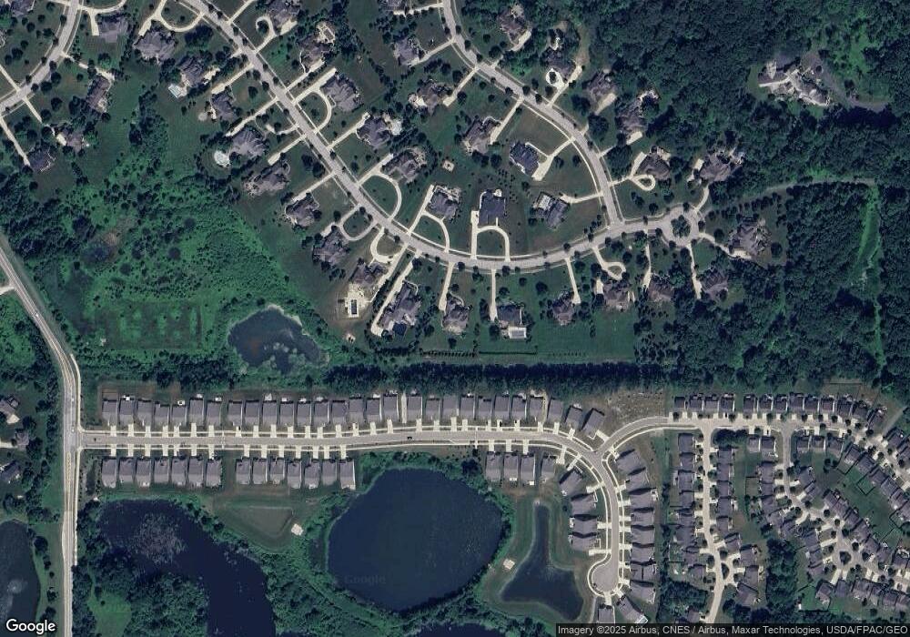
Map
Nearby Homes
- 10497 Kerwick Ct
- 3314 Fenmore Ln
- 3123 Killingworth Ln
- 7485 Stockwood Dr
- 10358 Townley Ct
- 3401 Mallard Ct
- 3331 Shale Dr
- 10265 Beaver Trail
- 3320 Blossom Trail
- 3336 Blossom Trail
- 10424 Oviatt Ln
- 7260 Annadale Dr
- 7460 Hillside Ln
- 10169 Timothy Ln
- 36965 Wexford Dr
- 7256 Dursley Ct
- 2923 Alling Dr
- 10502 White Ash Trail
- 37395 Wexford Dr
- 10269 Smugglers Cove
- 37150 Broadstone Dr
- 37230 Broadstone Dr
- 37110 Broadstone Dr
- 37275 Broadstone Dr
- 37225 Broadstone Dr
- 37270 Broadstone Dr
- 37070 Broadstone Dr
- 7644 Worlington Dr
- 3126 Aspen Ln
- 37175 Broadstone Dr
- 3126 Aspen Ln
- 37330 Broadstone Dr
- 7634 Worlington Dr
- 37030 Broadstone Dr
- 7616 Worlington Dr
- 37125 Broadstone Dr
- 3101 Aspen Ln
- 37390 Broadstone Dr
- 7604 Worlington Dr
- 36990 Broadstone Dr