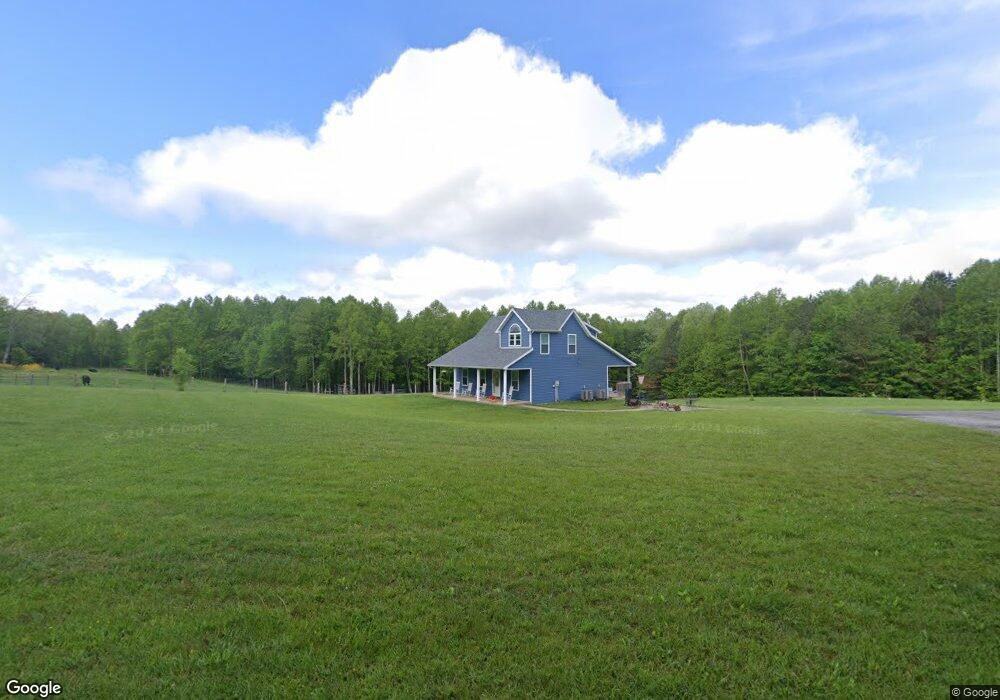
3739 Social Band Rd Campbellsville, KY 42718
Estimated Value: $239,000 - $272,935
3
Beds
2
Baths
1,428
Sq Ft
$178/Sq Ft
Est. Value
About This Home
This home is located at 3739 Social Band Rd, Campbellsville, KY 42718 and is currently estimated at $254,312, approximately $178 per square foot. 3739 Social Band Rd is a home with nearby schools including Taylor County Elementary School, Taylor County Middle School, and Taylor County High School.
Ownership History
Date
Name
Owned For
Owner Type
Purchase Details
Closed on
May 22, 2020
Sold by
Cash Steven W and Cash Farah
Bought by
Cash Wednell R
Current Estimated Value
Purchase Details
Closed on
Jan 13, 2018
Sold by
Mattingly Janice Beavers
Bought by
Cash Steven and Cash Farrah
Purchase Details
Closed on
Oct 27, 2008
Sold by
Vanford William Van and Ford Rebecca Ann
Bought by
Nalley Joseph Richard and Nalley Barbara Lee
Create a Home Valuation Report for This Property
The Home Valuation Report is an in-depth analysis detailing your home's value as well as a comparison with similar homes in the area
Home Values in the Area
Average Home Value in this Area
Purchase History
| Date | Buyer | Sale Price | Title Company |
|---|---|---|---|
| Cash Wednell R | $148,000 | None Available | |
| Cash Steven | $21,500 | None Available | |
| Nalley Joseph Richard | $24,084 | None Available |
Source: Public Records
Tax History Compared to Growth
Tax History
| Year | Tax Paid | Tax Assessment Tax Assessment Total Assessment is a certain percentage of the fair market value that is determined by local assessors to be the total taxable value of land and additions on the property. | Land | Improvement |
|---|---|---|---|---|
| 2025 | $1,772 | $183,000 | $0 | $0 |
| 2024 | $1,796 | $183,000 | $0 | $0 |
| 2023 | $1,601 | $157,500 | $0 | $0 |
| 2022 | $1,626 | $157,500 | $0 | $0 |
| 2021 | $1,620 | $157,500 | $0 | $0 |
| 2020 | $1,656 | $157,500 | $0 | $0 |
| 2019 | $1,659 | $157,500 | $0 | $0 |
| 2018 | $223 | $21,500 | $0 | $0 |
| 2017 | $213 | $21,000 | $0 | $0 |
| 2016 | $267 | $27,000 | $0 | $0 |
| 2015 | $295 | $30,000 | $0 | $0 |
| 2014 | $289 | $30,000 | $0 | $0 |
| 2012 | -- | $25,075 | $0 | $0 |
Source: Public Records
Map
Nearby Homes
- Tract 7 Attilla Rd
- 366 William Hash Rd
- TRACT 4 Price Hill Spur Rd
- TRACT 3 Price Hill Spur Rd
- 1820 Attilla Rd
- 0 Fuller Harding Rd Unit Parcel O
- 863 Fuller Harding Rd Unit Parcel P
- 923 Price Hill Spur Rd
- 428 Social Band Rd
- 0 Sprowles Ridge Rd
- 778 Sprowles Ridge Rd
- 1123 Mount Carmel Church Rd
- 39 Pickerell Rd
- 6 Corinth Rd
- 9888 Hodgenville Rd
- 7 Corinth Rd
- 4 Skaggs Rd
- 5 Skaggs Rd
- 1 Skaggs Rd
- 2 Skaggs Rd
- 3876 Social Band Rd
- 1040 Attilla Rd
- 0 S Attilla Rd
- 0 Hwy 462 Unit 1344261
- 0 Hwy 462 Unit 1133717
- 0 Hwy 462 Unit 110246
- 0 Hwy 462 Unit 200124
- 0 Hwy 462 Unit 905041
- 3925 Maple Rd
- 3170 Social Band Rd
- 103 Attilla Rd
- 210 Attilla Rd
- 402 Attilla Rd
- 474 Attilla Rd
- 3760 Maple Rd
- 3760 Maple Rd
- 405 Attilla Rd
- 2950 Social Band Rd
- 131 Attilla Rd