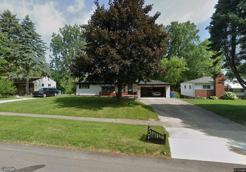
3748 Percy King Rd Waterford, MI 48329
Waterford Township NeighborhoodEstimated Value: $205,000 - $224,000
3
Beds
2
Baths
1,000
Sq Ft
$215/Sq Ft
Est. Value
About This Home
This home is located at 3748 Percy King Rd, Waterford, MI 48329 and is currently estimated at $215,134, approximately $215 per square foot. 3748 Percy King Rd is a home located in Oakland County with nearby schools including Schoolcraft Elementary School, Waterford Kettering High School, and Mason Middle School.
Ownership History
Date
Name
Owned For
Owner Type
Purchase Details
Closed on
Dec 7, 2010
Sold by
Bearup Michael Todd and Bearup Carole A
Bought by
Citimortgage Inc
Current Estimated Value
Purchase Details
Closed on
Jul 6, 2005
Sold by
Cundiff Kenneth L
Bought by
Bearup Michael Todd and Bearup Carole Ann
Home Financials for this Owner
Home Financials are based on the most recent Mortgage that was taken out on this home.
Original Mortgage
$138,080
Interest Rate
7.2%
Mortgage Type
Fannie Mae Freddie Mac
Create a Home Valuation Report for This Property
The Home Valuation Report is an in-depth analysis detailing your home's value as well as a comparison with similar homes in the area
Home Values in the Area
Average Home Value in this Area
Purchase History
| Date | Buyer | Sale Price | Title Company |
|---|---|---|---|
| Citimortgage Inc | $45,752 | None Available | |
| Bearup Michael Todd | $172,600 | Multiple |
Source: Public Records
Mortgage History
| Date | Status | Borrower | Loan Amount |
|---|---|---|---|
| Previous Owner | Bearup Michael Todd | $138,080 |
Source: Public Records
Tax History Compared to Growth
Tax History
| Year | Tax Paid | Tax Assessment Tax Assessment Total Assessment is a certain percentage of the fair market value that is determined by local assessors to be the total taxable value of land and additions on the property. | Land | Improvement |
|---|---|---|---|---|
| 2024 | $1,912 | $92,530 | $0 | $0 |
| 2023 | $1,805 | $88,570 | $0 | $0 |
| 2022 | $2,412 | $77,060 | $0 | $0 |
| 2021 | $2,307 | $73,710 | $0 | $0 |
| 2020 | $1,664 | $71,280 | $0 | $0 |
| 2019 | $2,259 | $69,210 | $0 | $0 |
| 2018 | $2,371 | $60,810 | $0 | $0 |
| 2017 | $2,098 | $60,810 | $0 | $0 |
| 2016 | $2,089 | $56,500 | $0 | $0 |
| 2015 | -- | $51,270 | $0 | $0 |
| 2014 | -- | $40,420 | $0 | $0 |
| 2011 | -- | $41,950 | $0 | $0 |
Source: Public Records
Map
Nearby Homes
- 3867 Percy King Rd
- 6275 Williams Lake Rd
- 3880 Lotus Dr
- 6031 Southward Ave
- 6391 Rowley Blvd
- 6533 Cloverton Dr
- 6376 Lanman Dr
- 6015 Rowley Blvd
- 6522 Saline Dr
- 000 Waterloo St
- 6570 Saline Dr
- 4281 Marcus Rd
- 6625 Lanman Dr
- 4083 Ledgestone Dr
- 3229 Homestead Dr
- 4341 Barnard Rd
- 3560 Dorothy Ln
- 4123 Windiate Park Dr
- 3912 Cambrook Ln
- 5914 Pleasant Dr
- 3734 Percy King Rd
- 3762 Percy King Rd
- 3722 Percy King Rd
- 3776 Percy King Rd
- 3735 Percy King Rd
- 3749 Percy King Rd
- 6252 Waking Ln
- 3782 Percy King Rd
- 3725 Percy King Rd
- 3777 Percy King Rd
- 6238 Waking Ln
- 3800 Percy King Rd
- 3763 Percy King Rd
- 3705 Percy King Rd
- 3719 David K Dr
- 3783 Percy King Rd
- 6224 Waking Ln
- 3658 Warringham Ave
- 3664 Warringham Ave
- 3636 Warringham Ave