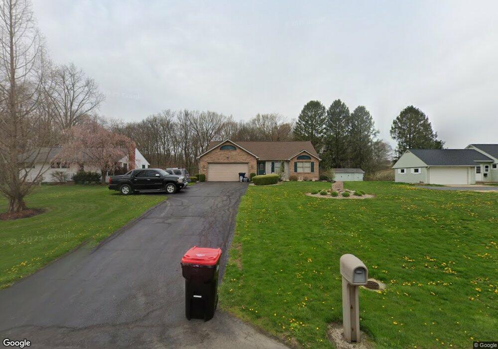
375 Airport Rd Zanesville, OH 43701
Estimated Value: $309,000 - $421,003
2
Beds
3
Baths
1,588
Sq Ft
$243/Sq Ft
Est. Value
About This Home
This home is located at 375 Airport Rd, Zanesville, OH 43701 and is currently estimated at $385,751, approximately $242 per square foot. 375 Airport Rd is a home located in Muskingum County with nearby schools including Perry Elementary School, East Muskingum Middle School, and Larry Miller Intermediate Elementary School.
Ownership History
Date
Name
Owned For
Owner Type
Purchase Details
Closed on
Oct 16, 2015
Sold by
Cramblett Charles H Trustee
Bought by
Derry C Wayne
Current Estimated Value
Home Financials for this Owner
Home Financials are based on the most recent Mortgage that was taken out on this home.
Interest Rate
3.82%
Purchase Details
Closed on
Mar 9, 2009
Sold by
Derry Sheryl D
Bought by
Mawhorr Brad and The Sheryl D Derry Keystone In
Purchase Details
Closed on
Jan 1, 2007
Sold by
Luburgh Sheri L
Bought by
Derry Sheryl D
Home Financials for this Owner
Home Financials are based on the most recent Mortgage that was taken out on this home.
Original Mortgage
$100,000
Interest Rate
6.24%
Mortgage Type
Purchase Money Mortgage
Purchase Details
Closed on
Nov 18, 1996
Sold by
Bennett Jack C
Bought by
William R Arnett
Home Financials for this Owner
Home Financials are based on the most recent Mortgage that was taken out on this home.
Original Mortgage
$64,000
Interest Rate
7%
Mortgage Type
New Conventional
Create a Home Valuation Report for This Property
The Home Valuation Report is an in-depth analysis detailing your home's value as well as a comparison with similar homes in the area
Home Values in the Area
Average Home Value in this Area
Purchase History
| Date | Buyer | Sale Price | Title Company |
|---|---|---|---|
| Derry C Wayne | -- | -- | |
| Mawhorr Brad | -- | None Available | |
| Derry Sheryl D | $185,000 | Attorney | |
| William R Arnett | $80,000 | -- |
Source: Public Records
Mortgage History
| Date | Status | Borrower | Loan Amount |
|---|---|---|---|
| Closed | Derry C Wayne | -- | |
| Previous Owner | Derry Sheryl D | $100,000 | |
| Previous Owner | William R Arnett | $64,000 |
Source: Public Records
Tax History Compared to Growth
Tax History
| Year | Tax Paid | Tax Assessment Tax Assessment Total Assessment is a certain percentage of the fair market value that is determined by local assessors to be the total taxable value of land and additions on the property. | Land | Improvement |
|---|---|---|---|---|
| 2024 | $3,818 | $106,120 | $12,810 | $93,310 |
| 2023 | $3,470 | $88,270 | $10,115 | $78,155 |
| 2022 | $3,291 | $88,270 | $10,115 | $78,155 |
| 2021 | $3,254 | $88,270 | $10,115 | $78,155 |
| 2020 | $3,060 | $80,220 | $9,170 | $71,050 |
| 2019 | $3,045 | $80,220 | $9,170 | $71,050 |
| 2018 | $3,105 | $80,220 | $9,170 | $71,050 |
| 2017 | $2,129 | $57,540 | $9,170 | $48,370 |
| 2016 | $2,133 | $57,540 | $9,170 | $48,370 |
| 2015 | $2,186 | $57,540 | $9,170 | $48,370 |
| 2013 | $2,339 | $57,540 | $9,170 | $48,370 |
Source: Public Records
Map
Nearby Homes
- 400 Spring Valley Dr
- 130 Airport Rd
- 5180 Pine Valley Dr
- 310 Trappers Hollow Rd
- 4460 East Pike
- 365 Walters Way
- 360 Walters Way
- 6265 Canterbury Way Unit LOT 30
- 1305 Bald Hill Rd
- 6600 Bridgeville Dr
- 1605 Jackson Rd
- 0 Sonora Rd Unit 225018643
- 0 Sonora Rd Unit 5125925
- 3620 Old Wheeling Rd
- 7115 East Pike
- 350 Urban Hill Rd
- 0 E Wheeling Rd Unit 5162172
- 380 Urban Hill Rd
- 2870 Cody Dr
- 2835 Adamsville Rd