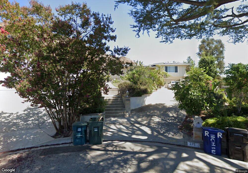
375 Deodar Cir Sierra Madre, CA 91024
Estimated Value: $2,146,000 - $2,249,364
4
Beds
5
Baths
2,916
Sq Ft
$752/Sq Ft
Est. Value
About This Home
This home is located at 375 Deodar Cir, Sierra Madre, CA 91024 and is currently estimated at $2,192,121, approximately $751 per square foot. 375 Deodar Cir is a home located in Los Angeles County with nearby schools including Sierra Madre Elementary School, Pasadena High School, and Bethany Christian School.
Ownership History
Date
Name
Owned For
Owner Type
Purchase Details
Closed on
Apr 17, 2002
Sold by
Richter Arnold F and Richter Judith M
Bought by
Chiu Jimmy Ping Yuk and Chiu Veronica Yuk Lin
Current Estimated Value
Home Financials for this Owner
Home Financials are based on the most recent Mortgage that was taken out on this home.
Original Mortgage
$585,000
Interest Rate
6.86%
Create a Home Valuation Report for This Property
The Home Valuation Report is an in-depth analysis detailing your home's value as well as a comparison with similar homes in the area
Home Values in the Area
Average Home Value in this Area
Purchase History
| Date | Buyer | Sale Price | Title Company |
|---|---|---|---|
| Chiu Jimmy Ping Yuk | $780,000 | Southland Title |
Source: Public Records
Mortgage History
| Date | Status | Borrower | Loan Amount |
|---|---|---|---|
| Previous Owner | Chiu Jimmy Ping Yuk | $585,000 |
Source: Public Records
Tax History Compared to Growth
Tax History
| Year | Tax Paid | Tax Assessment Tax Assessment Total Assessment is a certain percentage of the fair market value that is determined by local assessors to be the total taxable value of land and additions on the property. | Land | Improvement |
|---|---|---|---|---|
| 2025 | $13,224 | $1,067,961 | $727,934 | $340,027 |
| 2024 | $13,224 | $1,129,683 | $792,956 | $336,727 |
| 2023 | $13,149 | $1,107,533 | $777,408 | $330,125 |
| 2022 | $12,698 | $1,085,817 | $762,165 | $323,652 |
| 2021 | $12,182 | $1,064,527 | $747,221 | $317,306 |
| 2019 | $11,727 | $1,032,955 | $725,059 | $307,896 |
| 2018 | $11,882 | $1,012,702 | $710,843 | $301,859 |
| 2016 | $11,446 | $973,380 | $683,241 | $290,139 |
| 2015 | $11,272 | $958,760 | $672,979 | $285,781 |
| 2014 | $11,037 | $939,980 | $659,797 | $280,183 |
Source: Public Records
Map
Nearby Homes
- 645 Oak Crest Dr
- 3984 Park Vista Cir
- 526 Michillinda Way
- 608 Baldwin Ct
- 600 Baldwin Ct
- 725 Edgeview Dr
- 620 Baldwin Ct
- 602 N Michillinda Ave
- 99 W Grandview Ave
- 0 Baldwin Ct Unit 25609897
- 245 W Laurel Ave
- 225 N Lima St
- 313 N Sunnyside Ave
- 238 Auburn Ave
- 589 W Grandview Ave
- 3880 Startouch Dr
- 95 W Laurel Ave
- 481 W Highland Ave
- 1270 Tropical Ave
- 108 E Grandview Ave
- 370 Deodar Cir
- 640 Oak Crest Dr
- 630 Oak Crest Dr
- 315 Wisteria Way
- 333 Wisteria Way
- 330 Wisteria Way
- 650 Oak Crest Dr
- 380 Deodar Cir
- 320 Wisteria Way
- 620 Oak Crest Dr
- 625 Sierra Meadows Dr
- 305 Wisteria Way
- 690 Oak Crest Dr
- 635 Sierra Meadows Dr
- 310 Wisteria Way
- 635 Oak Crest Dr
- 645 Sierra Meadows Dr
- 610 Oak Crest Dr
- 700 Oak Crest Dr
- 640 Chaparral Rd