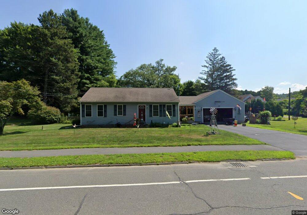
38 S Silver Ln Sunderland, MA 01375
Estimated Value: $396,000 - $435,000
2
Beds
1
Bath
1,227
Sq Ft
$341/Sq Ft
Est. Value
About This Home
This home is located at 38 S Silver Ln, Sunderland, MA 01375 and is currently estimated at $418,255, approximately $340 per square foot. 38 S Silver Ln is a home located in Franklin County with nearby schools including Sunderland Elementary School and Frontier Regional School.
Ownership History
Date
Name
Owned For
Owner Type
Purchase Details
Closed on
Jul 18, 2005
Sold by
Bowen Clifford V
Bought by
Smith Scott and Smith Laurie
Current Estimated Value
Home Financials for this Owner
Home Financials are based on the most recent Mortgage that was taken out on this home.
Original Mortgage
$230,000
Outstanding Balance
$120,140
Interest Rate
5.67%
Mortgage Type
Purchase Money Mortgage
Estimated Equity
$298,115
Purchase Details
Closed on
Apr 22, 2005
Sold by
Rogers Mary D and Rogers Mary
Bought by
Bowen Clifford V
Purchase Details
Closed on
Aug 3, 1987
Sold by
Salkaus Anthony J
Bought by
Wasilauski William F
Create a Home Valuation Report for This Property
The Home Valuation Report is an in-depth analysis detailing your home's value as well as a comparison with similar homes in the area
Home Values in the Area
Average Home Value in this Area
Purchase History
| Date | Buyer | Sale Price | Title Company |
|---|---|---|---|
| Smith Scott | $250,000 | -- | |
| Bowen Clifford V | $88,250 | -- | |
| Wasilauski William F | $120,000 | -- |
Source: Public Records
Mortgage History
| Date | Status | Borrower | Loan Amount |
|---|---|---|---|
| Open | Smith Scott | $230,000 |
Source: Public Records
Tax History Compared to Growth
Tax History
| Year | Tax Paid | Tax Assessment Tax Assessment Total Assessment is a certain percentage of the fair market value that is determined by local assessors to be the total taxable value of land and additions on the property. | Land | Improvement |
|---|---|---|---|---|
| 2025 | $48 | $367,500 | $114,000 | $253,500 |
| 2024 | $4,829 | $367,500 | $114,000 | $253,500 |
| 2023 | $4,417 | $345,100 | $103,600 | $241,500 |
| 2022 | $4,448 | $302,600 | $88,800 | $213,800 |
| 2021 | $4,176 | $269,600 | $82,300 | $187,300 |
| 2020 | $4,167 | $269,900 | $82,300 | $187,600 |
| 2019 | $4,024 | $262,500 | $79,900 | $182,600 |
| 2018 | $3,848 | $256,500 | $76,700 | $179,800 |
| 2017 | $3,624 | $252,700 | $76,700 | $176,000 |
| 2016 | $3,561 | $242,900 | $75,200 | $167,700 |
| 2015 | $3,476 | $242,900 | $75,200 | $167,700 |
| 2014 | $3,396 | $242,900 | $75,200 | $167,700 |
Source: Public Records
Map
Nearby Homes
- 146 Old Amherst Rd
- 110 Old Amherst Rd
- 238 N Main St
- 15 S Plain Rd
- Lot C Mountain Rd
- Lot A Mountain Rd
- Lot B Mountain Rd
- 15 Crestview Dr
- 40 Eastern Ave
- 134 Montague Rd
- 24 Graves St
- 259 Long Plain Rd
- 73 Depot Rd
- 24 Elm St
- 113 Juggler Meadow Rd
- 13 Capt Lathrop Dr
- 3 Depot Rd
- 7 Stage Rd
- 55 Putney Rd
- 32 Swamp Rd
- 34 S Silver Ln
- 41 S Silver Ln
- 44 S Silver Ln
- 28 N Silver Ln
- 28 S Silver Ln
- 49 S Silver Ln
- 253 Amherst Rd
- 50 S Silver Ln
- 22 N Silver Ln
- 22 S Silver Ln
- 54 S Silver Ln
- 55 S Silver Ln
- 243 Amherst Rd
- 267 Amherst Rd Unit Suite 1
- 267 Amherst Rd Unit Suite 3
- 267 Amherst Rd Unit 1
- 267 Amherst Rd Unit 3
- 267 Amherst Rd
- 59 S Silver Ln
- 239 Amherst Rd