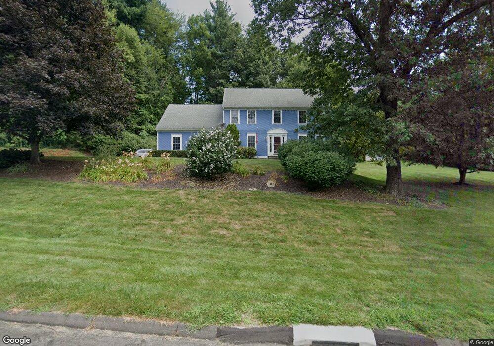
38 Thompson Hill Rd Collinsville, CT 06019
Estimated Value: $523,000 - $620,000
4
Beds
3
Baths
2,733
Sq Ft
$209/Sq Ft
Est. Value
About This Home
This home is located at 38 Thompson Hill Rd, Collinsville, CT 06019 and is currently estimated at $571,439, approximately $209 per square foot. 38 Thompson Hill Rd is a home located in Hartford County with nearby schools including Cherry Brook Primary School, Canton Intermediate School, and Canton Middle School.
Ownership History
Date
Name
Owned For
Owner Type
Purchase Details
Closed on
Mar 22, 1999
Sold by
Mowel Stealey and Mowel Luz V
Bought by
Pelehach Joseph M and Pelchach Amy D
Current Estimated Value
Purchase Details
Closed on
Jul 29, 1997
Sold by
Bahre Sheila
Bought by
Mowel Stanley and Mowel Luz
Purchase Details
Closed on
Jun 19, 1995
Sold by
Bahre Sheila
Bought by
Knox Lester and Knox Susan
Create a Home Valuation Report for This Property
The Home Valuation Report is an in-depth analysis detailing your home's value as well as a comparison with similar homes in the area
Home Values in the Area
Average Home Value in this Area
Purchase History
| Date | Buyer | Sale Price | Title Company |
|---|---|---|---|
| Pelehach Joseph M | $61,500 | -- | |
| Pelehach Joseph M | $61,500 | -- | |
| Mowel Stanley | $42,000 | -- | |
| Mowel Stanley | $42,000 | -- | |
| Knox Lester | $50,000 | -- | |
| Knox Lester | $50,000 | -- |
Source: Public Records
Mortgage History
| Date | Status | Borrower | Loan Amount |
|---|---|---|---|
| Open | Knox Lester | $304,000 | |
| Closed | Knox Lester | $215,000 |
Source: Public Records
Tax History Compared to Growth
Tax History
| Year | Tax Paid | Tax Assessment Tax Assessment Total Assessment is a certain percentage of the fair market value that is determined by local assessors to be the total taxable value of land and additions on the property. | Land | Improvement |
|---|---|---|---|---|
| 2025 | $11,460 | $342,100 | $80,650 | $261,450 |
| 2024 | $11,683 | $342,100 | $80,650 | $261,450 |
| 2023 | $9,778 | $276,460 | $70,130 | $206,330 |
| 2022 | $9,314 | $276,460 | $70,130 | $206,330 |
| 2021 | $9,184 | $276,460 | $70,130 | $206,330 |
| 2020 | $9,010 | $276,460 | $70,130 | $206,330 |
| 2019 | $8,855 | $276,460 | $70,130 | $206,330 |
| 2018 | $8,023 | $261,340 | $70,130 | $191,210 |
| 2017 | $7,968 | $261,340 | $70,130 | $191,210 |
| 2016 | $7,777 | $261,340 | $70,130 | $191,210 |
| 2015 | $7,629 | $261,340 | $70,130 | $191,210 |
| 2014 | $7,464 | $261,340 | $70,130 | $191,210 |
Source: Public Records
Map
Nearby Homes
- 9 Village Square
- 220 Main St Unit 2K
- 220 Main St Unit 1D
- 207 Cherry Brook Rd
- 96 Dyer Ave
- 8 Town Bridge Rd
- 13 Woodland Dr
- 60 Simonds Ave
- 70 E Hill Rd
- 50 E Hill Rd Unit 3A
- 152 E Hill Rd
- 15 Bunker Hill Rd
- 22 Wickett St
- 3 E Hill Rd
- 57 Henderson Rd
- 22A Hoppen Rd
- 67 Torrington Ave Unit 69
- 9 Maple Ave
- 22B Hoppen Rd
- 85 Dowd Ave Unit 89
- 40 Thompson Hill Rd
- 26 Thompson Hill Rd Unit 28
- 24 Thompson Hill Rd
- 39 Thompson Hill Rd
- 37 Thompson Hill Rd
- 41 Thompson Hill Rd
- 35 Thompson Hill Rd
- 22 Thompson Hill Rd Unit 26
- 10 Thompson Hill Rd
- 42 Thompson Hill Rd
- 25 Thompson Hill Rd
- 27 Thompson Hill Rd
- 16 Thompson Hill Rd
- 618 Albany Turnpike
- 33 Thompson Hill Rd
- 43 Thompson Hill Rd
- 616 Albany Turnpike
- 29 Thompson Hill Rd
- 612 Albany Turnpike