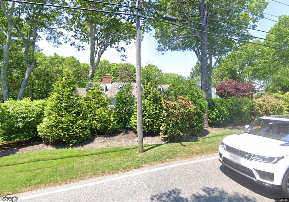
380 Bridge St Osterville, MA 02655
Osterville NeighborhoodEstimated Value: $2,743,000 - $4,065,049
4
Beds
4
Baths
4,726
Sq Ft
$760/Sq Ft
Est. Value
About This Home
This home is located at 380 Bridge St, Osterville, MA 02655 and is currently estimated at $3,589,762, approximately $759 per square foot. 380 Bridge St is a home located in Barnstable County with nearby schools including West Villages Elementary School, Barnstable United Elementary School, and Barnstable Intermediate School.
Ownership History
Date
Name
Owned For
Owner Type
Purchase Details
Closed on
Aug 19, 2011
Sold by
Corey John D
Bought by
380 Bridge Street Nt
Current Estimated Value
Purchase Details
Closed on
Jun 15, 1986
Bought by
Corey John D and Corey Gloria J
Create a Home Valuation Report for This Property
The Home Valuation Report is an in-depth analysis detailing your home's value as well as a comparison with similar homes in the area
Home Values in the Area
Average Home Value in this Area
Purchase History
| Date | Buyer | Sale Price | Title Company |
|---|---|---|---|
| 380 Bridge Street Nt | -- | -- | |
| Corey John D | $340,000 | -- |
Source: Public Records
Mortgage History
| Date | Status | Borrower | Loan Amount |
|---|---|---|---|
| Previous Owner | Corey John D | $135,000 |
Source: Public Records
Tax History Compared to Growth
Tax History
| Year | Tax Paid | Tax Assessment Tax Assessment Total Assessment is a certain percentage of the fair market value that is determined by local assessors to be the total taxable value of land and additions on the property. | Land | Improvement |
|---|---|---|---|---|
| 2025 | $20,803 | $2,571,500 | $1,140,500 | $1,431,000 |
| 2024 | $18,827 | $2,410,600 | $1,140,500 | $1,270,100 |
| 2023 | $17,969 | $2,154,600 | $1,037,900 | $1,116,700 |
| 2022 | $17,146 | $1,778,600 | $844,300 | $934,300 |
| 2021 | $17,805 | $1,697,300 | $904,500 | $792,800 |
| 2020 | $18,686 | $1,704,900 | $971,900 | $733,000 |
| 2019 | $17,846 | $1,582,100 | $939,500 | $642,600 |
| 2018 | $15,825 | $1,410,400 | $859,400 | $551,000 |
| 2017 | $14,782 | $1,373,800 | $859,400 | $514,400 |
| 2016 | $15,042 | $1,380,000 | $865,600 | $514,400 |
| 2015 | $14,522 | $1,338,400 | $829,000 | $509,400 |
Source: Public Records
Map
Nearby Homes
- 405 Bridge St
- 25 Oyster Way
- 71 Sand Point
- 835 Old Post Rd
- 255 Bayberry Way
- 168 Garrison Ln
- Lot 289 Seapuit River B Rd
- Lot 288 Seapuit River A Rd
- 14 Indian Trail
- 564 Cotuit Bay Dr
- 564 Cotuit Bay Dr
- 33 Sunset Ln
- 98 Bunker Hill Rd
- 920 Main St Unit 1 Building 2
- 920 Main St Unit 2-1
- 414 Eel River Rd
- 440 Grand Island Dr
- 39 Tower Hill Rd Unit 15B
- 39 Tower Hill Rd Unit 1C
- 39 Tower Hill Rd Unit 15B
- 91 Great Bay Rd
- 157 Great Bay Rd
- 356 Bridge St
- 385 Bridge St
- 61 Great Bay Rd
- 344 Bridge St
- 116 Great Bay Rd
- 14 Bayview Rd
- 19 Great Bay Rd
- 104 Great Bay Rd
- 10 Little Island Dr
- 158 Great Bay Rd
- 80 Great Bay Rd
- 142 Great Bay Rd
- 28 Bayview Rd
- 60 Great Bay Rd
- 324 Bridge St
- 435 Bridge St
- 126 Great Bay Rd
- 46 Little Island Dr