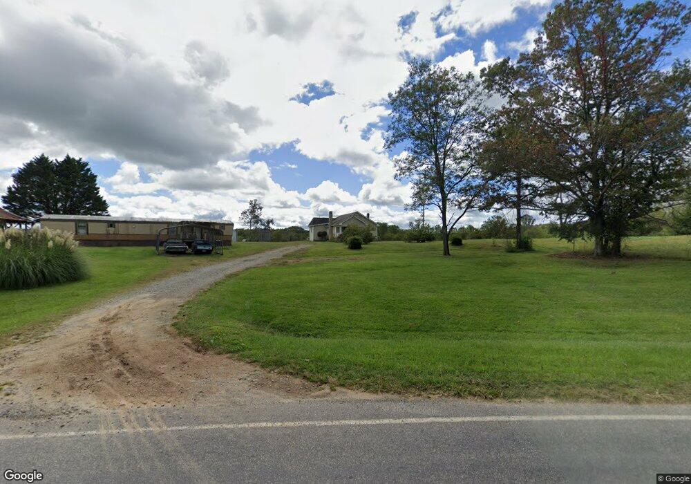
380 Radar Rd Ararat, NC 27007
Estimated Value: $91,000 - $280,000
2
Beds
1
Bath
736
Sq Ft
$218/Sq Ft
Est. Value
About This Home
This home is located at 380 Radar Rd, Ararat, NC 27007 and is currently estimated at $160,398, approximately $217 per square foot. 380 Radar Rd is a home located in Surry County with nearby schools including Shoals Elementary School, Pilot Mountain Middle School, and East Surry High School.
Ownership History
Date
Name
Owned For
Owner Type
Purchase Details
Closed on
Jan 17, 2024
Sold by
Eakes Patsy K and Millard Earl
Bought by
Watson Jimmy Ray
Current Estimated Value
Purchase Details
Closed on
Feb 20, 2012
Sold by
Fowler Peggy Watson
Bought by
Eakes Patsy
Purchase Details
Closed on
Nov 1, 1990
Purchase Details
Closed on
Feb 1, 1979
Create a Home Valuation Report for This Property
The Home Valuation Report is an in-depth analysis detailing your home's value as well as a comparison with similar homes in the area
Home Values in the Area
Average Home Value in this Area
Purchase History
| Date | Buyer | Sale Price | Title Company |
|---|---|---|---|
| Watson Jimmy Ray | $65,000 | None Listed On Document | |
| Watson Jimmy Ray | $65,000 | None Listed On Document | |
| Eakes Patsy | -- | None Available | |
| -- | -- | -- | |
| -- | -- | -- |
Source: Public Records
Tax History Compared to Growth
Tax History
| Year | Tax Paid | Tax Assessment Tax Assessment Total Assessment is a certain percentage of the fair market value that is determined by local assessors to be the total taxable value of land and additions on the property. | Land | Improvement |
|---|---|---|---|---|
| 2025 | $302 | $43,700 | $17,000 | $26,700 |
| 2024 | $276 | $36,280 | $14,000 | $22,280 |
| 2023 | $272 | $36,680 | $14,000 | $22,680 |
| 2022 | $272 | $36,680 | $14,000 | $22,680 |
| 2021 | $276 | $36,680 | $14,000 | $22,680 |
| 2020 | $281 | $36,290 | $13,000 | $23,290 |
| 2019 | $278 | $36,290 | $0 | $0 |
| 2018 | $274 | $36,290 | $0 | $0 |
| 2017 | $275 | $36,290 | $0 | $0 |
| 2016 | $275 | $36,290 | $0 | $0 |
| 2013 | -- | $38,630 | $0 | $0 |
Source: Public Records
Map
Nearby Homes
- 235 Hunter Ridge Ln
- 250 High Meadow Trail
- 112 Balcony Ln
- 167 Buck Hollow Trail
- 123 Old Brintle St
- 000 Old Childress Ave
- 181 Fox Walk Ln
- 151 Siloam Rd
- 366 Sheep Farm Rd
- 156 Grace Way
- 1398 Simpson Mill Rd
- 153 Chilton Rd
- 876 Rock Hill Church Rd
- 115 Stout Ln
- x Green Meadow Ln Unit 5 Ac S
- 278 Old Us Highway 52
- 106 Grants Home Trail
- TBD Marion Dr
- 0 Marion Dr
- Tbd Farmbrook Rd