382 Edward Farris Rd Weatherford, TX 76085
Estimated Value: $417,000 - $555,000
--
Bed
--
Bath
1,778
Sq Ft
$274/Sq Ft
Est. Value
About This Home
This home is located at 382 Edward Farris Rd, Weatherford, TX 76085 and is currently estimated at $487,473, approximately $274 per square foot. 382 Edward Farris Rd is a home located in Parker County with nearby schools including Silver Creek Elementary School, Azle Elementary School, and Azle Junior High School.
Ownership History
Date
Name
Owned For
Owner Type
Purchase Details
Closed on
Jul 2, 2008
Sold by
King Clara Ann
Bought by
King Clara Ann
Current Estimated Value
Purchase Details
Closed on
May 2, 2003
Sold by
Collins Harold and Collins Margie
Bought by
King Clara A
Purchase Details
Closed on
Oct 24, 2000
Sold by
Miller Raymond G and Miller Sharon
Bought by
King Clara A
Create a Home Valuation Report for This Property
The Home Valuation Report is an in-depth analysis detailing your home's value as well as a comparison with similar homes in the area
Home Values in the Area
Average Home Value in this Area
Purchase History
| Date | Buyer | Sale Price | Title Company |
|---|---|---|---|
| King Clara Ann | -- | None Available | |
| King Clara A | -- | -- | |
| King Clara A | -- | -- |
Source: Public Records
Tax History Compared to Growth
Tax History
| Year | Tax Paid | Tax Assessment Tax Assessment Total Assessment is a certain percentage of the fair market value that is determined by local assessors to be the total taxable value of land and additions on the property. | Land | Improvement |
|---|---|---|---|---|
| 2025 | $1,160 | $480,130 | $225,840 | $254,290 |
| 2024 | $1,160 | $284,856 | -- | -- |
| 2023 | $1,160 | $258,960 | $0 | $0 |
| 2022 | $4,356 | $298,260 | $102,570 | $195,690 |
| 2021 | $4,149 | $298,260 | $102,570 | $195,690 |
| 2020 | $3,752 | $250,280 | $86,000 | $164,280 |
| 2019 | $3,615 | $250,280 | $86,000 | $164,280 |
| 2018 | $3,297 | $173,190 | $50,270 | $122,920 |
| 2017 | $2,856 | $173,190 | $50,270 | $122,920 |
| 2016 | $2,596 | $132,890 | $35,910 | $96,980 |
| 2015 | $838 | $132,890 | $35,910 | $96,980 |
| 2014 | $1,913 | $117,640 | $35,910 | $81,730 |
Source: Public Records
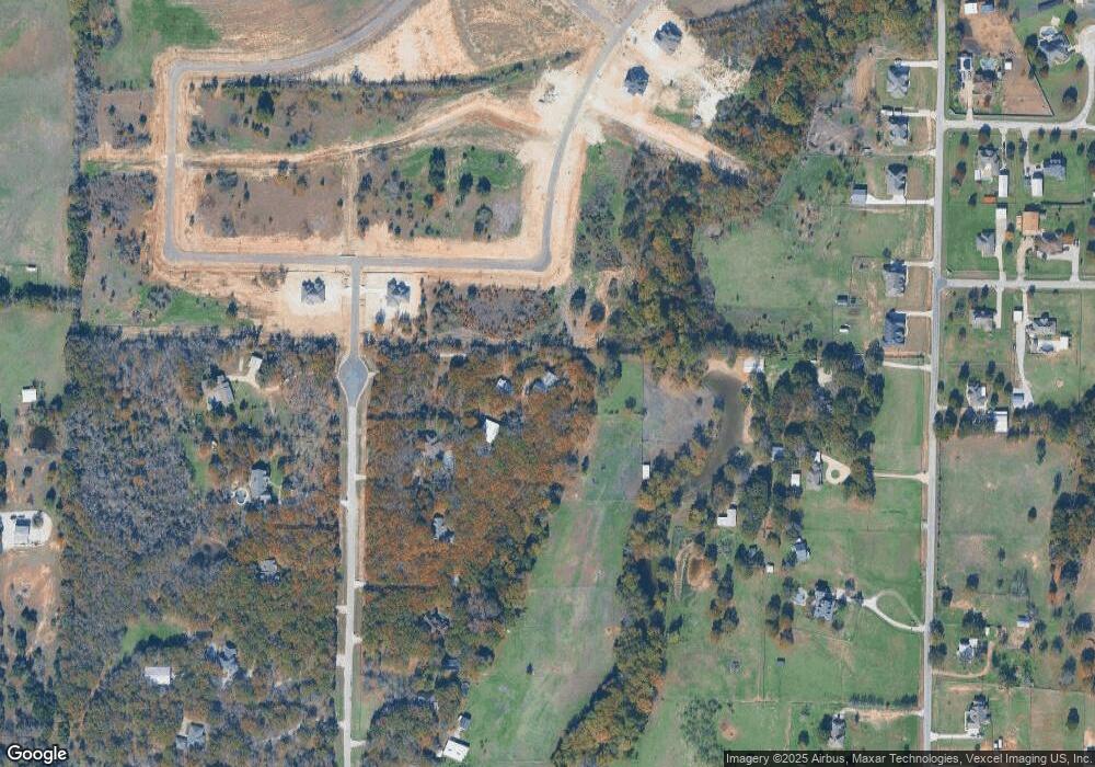
Map
Nearby Homes
- 1033 Silver Sage Trail
- 1046 Silver Sage Trail
- 1050 Silver Sage Trail
- 1024 Silver Sage Trail
- 1057 Silver Sage Trail
- 1106 Silver Sage Trail
- 1114 Silver Sage Trail
- 1113 Silver Sage Trail
- 2000 Cypress Ct
- 2009 Cypress Ct
- 2004 Cypress Ct
- 105 Ash Ln
- 687 Bent Tree Ln
- The Wilder Plan at Brooks Meadow
- The Ryder Plan at Brooks Meadow
- The Curran Plan at Brooks Meadow
- The Bennett Plan at Brooks Meadow
- The Jackson Plan at Brooks Meadow
- The Hunter Plan at Brooks Meadow
- The Aylin Plan at Brooks Meadow
- 39 Imperial Mammoth Ln
- 34 Imperial Mammoth Ln
- 370 Edward Farris Rd
- 1049 Silver Sage Trail
- 1029 Silver Sage Trail
- 364 Edward Farris Rd
- 1053 Silver Sage Trail
- 356 Edward Farris Rd
- 951 Finney Dr
- 901 Finney Dr
- 2004 Silver Sage Trail
- 369 Edward Farris Rd
- 15 Tusk Ct
- 328 Edward Farris Rd
- 381 Edward Farris Rd
- 1001 Finney Dr
- 801 Finney Dr
- 1005 Finney Dr
- 1118 Silver Sage Trail
- 1013 Silver Sage Trail