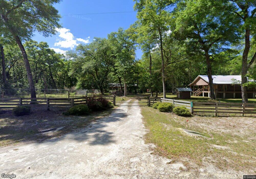
384 SW Reno Way Fort White, FL 32038
Estimated Value: $266,798 - $347,000
2
Beds
2
Baths
1,140
Sq Ft
$269/Sq Ft
Est. Value
About This Home
This home is located at 384 SW Reno Way, Fort White, FL 32038 and is currently estimated at $306,200, approximately $268 per square foot. 384 SW Reno Way is a home with nearby schools including Fort White Elementary School and Fort White High School.
Ownership History
Date
Name
Owned For
Owner Type
Purchase Details
Closed on
Apr 1, 2011
Sold by
Kenniston Donald P and Ryerson Melissa M
Bought by
Maryland Lane Llc
Current Estimated Value
Purchase Details
Closed on
Aug 18, 2006
Sold by
Friderich Todd H
Bought by
Kenniston Donald P and Ryerson Melissa M
Purchase Details
Closed on
May 31, 2005
Sold by
Three Rivers Estates Inc
Bought by
Friderich Todd H
Home Financials for this Owner
Home Financials are based on the most recent Mortgage that was taken out on this home.
Original Mortgage
$9,000
Interest Rate
10%
Mortgage Type
Seller Take Back
Create a Home Valuation Report for This Property
The Home Valuation Report is an in-depth analysis detailing your home's value as well as a comparison with similar homes in the area
Home Values in the Area
Average Home Value in this Area
Purchase History
| Date | Buyer | Sale Price | Title Company |
|---|---|---|---|
| Maryland Lane Llc | $8,000 | Abstract & Title Svcs Inc | |
| Kenniston Donald P | $25,000 | Title Offices Llc | |
| Friderich Todd H | $14,000 | Title Offices |
Source: Public Records
Mortgage History
| Date | Status | Borrower | Loan Amount |
|---|---|---|---|
| Previous Owner | Friderich Todd H | $9,000 |
Source: Public Records
Tax History Compared to Growth
Tax History
| Year | Tax Paid | Tax Assessment Tax Assessment Total Assessment is a certain percentage of the fair market value that is determined by local assessors to be the total taxable value of land and additions on the property. | Land | Improvement |
|---|---|---|---|---|
| 2024 | $1,766 | $142,300 | -- | -- |
| 2023 | $1,766 | $134,262 | $0 | $0 |
| 2022 | $1,707 | $130,351 | $0 | $0 |
| 2021 | $1,642 | $126,554 | $0 | $0 |
| 2020 | $1,449 | $124,807 | $0 | $0 |
| 2019 | $1,689 | $122,001 | $0 | $0 |
| 2018 | $1,677 | $119,726 | $6,000 | $113,726 |
| 2017 | $1,669 | $118,486 | $6,000 | $112,486 |
| 2016 | $1,633 | $118,558 | $6,000 | $112,558 |
| 2015 | $1,646 | $116,251 | $0 | $0 |
| 2014 | $1,649 | $116,246 | $0 | $0 |
Source: Public Records
Map
Nearby Homes
- TBD SW Reno Way
- 498 SW Manatee Terrace
- 135 SW Virginia Way
- 960 SW Iowa Dr
- 0 NE 120th Loop
- 12890 NE 120 Loop
- 549 SW Hawaii Terrace
- 1965 SW Newark Dr
- 1759 NE 127th St
- 2833 SW Wilson Springs Rd
- 1745 SW Newark Dr
- 172 SW Trenton Terrace
- 1521 SW Central Terrace
- 00 SW Newark Dr Unit 3
- 0 SW Newark Dr Unit MFRR4908315
- 0 SW Newark Dr Unit MFRR4908314
- 0 SW Bumble St Unit 128719
- 158 SW Bumble St
- lot 36 SW Bumble St
- 0 NE 127th St
- 00 SW Reno Way
- Lot21 SW Reno Way
- 552 SW Manatee Terrace
- 536 SW Manatee Terrace
- 670 SW Bridge Ln
- 398 SW California Terrace
- 584 SW Manatee Terrace
- 508 SW Manatee Terrace
- 408 SW Manatee Terrace
- 634 SW Manatee Terrace
- 0 California Unit MFRGC203602
- 0 California Unit 83148
- 598 SW Manatee Terrace
- 464 SW California Terrace
- 612 SW Manatee Terrace
- 0 SW California Terrace
- 0 SW Manatee Terrace Unit MFRGC290321